- Class at average July flow: 2
- Length: 13.74 miles
- Average drop/mile: 5.2ft/mile
- Average CFS in July: ~456 CFS
- Float time at average CFS: 4-6 hours
- Drive distance between launch and land: 6.6 miles
- Straight line distance between launch and land: 4.77 miles
About This Float Segment:
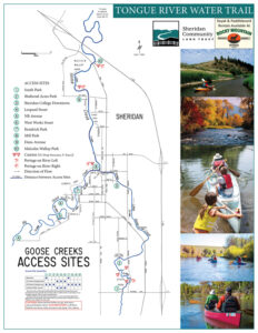
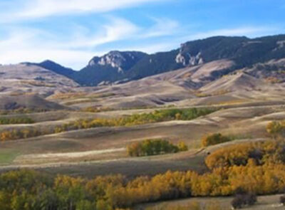
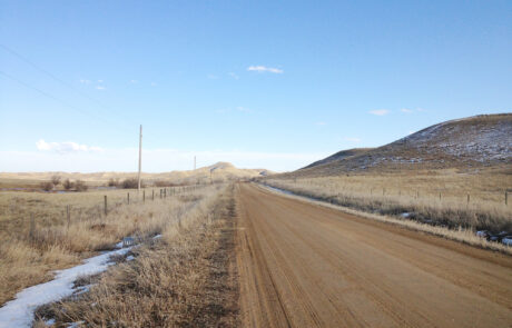
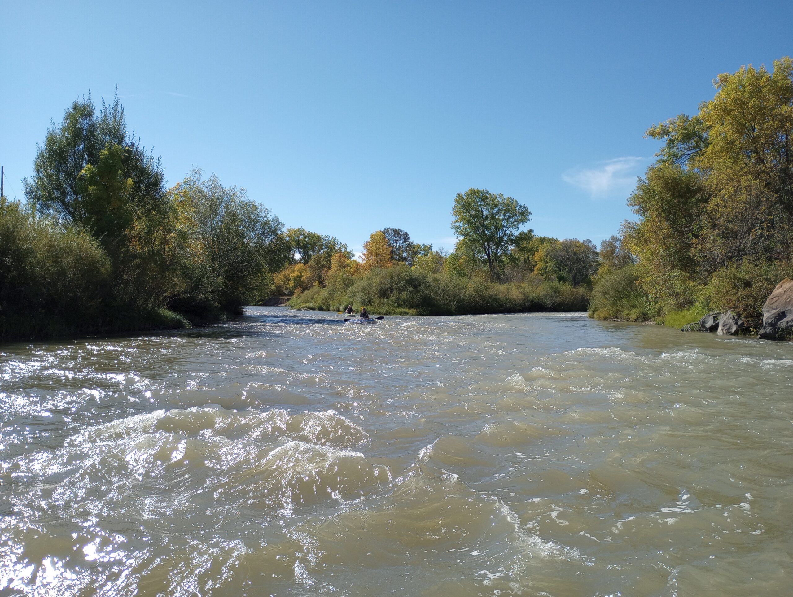
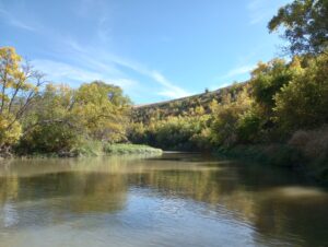
This is the longest section and one of the most popular on the Tongue River Water Trail, and for good reason. After a short float, you will find yourself floating through an abandoned mine pit and into the historic mining town of Acme. The abandoned mine pit is where the course of Big Goose Creek was diverted for mining operations and several mining scars can be seen on river left and reclamation on river right. Floating out of the abandoned pit will bring you to two large culverts, known locally as the “Goose Toobs,” conducting the water underneath the railroad tracks. From here you will be floating by what was once the town of Acme on river left. Flow increases at the confluence with the Tongue River. Several remnants of the old mine and communities dot the waterway as you find yourself floating through the agricultural landscape. Wide sweeping views of the mountains follow you as the river winds between the constricting hillsides and tall cottonwoods. Eagles and hawks frequent this section of the river, watching from their perches high in the branches. Shortly after the river winds its way to the Welch Recreation area, the water slows down due to a diversion dam. This structure can easily trap a boat, so portage is always required. Portage is on river right and is signed. Once back on the water, you have one mile of floating left before you arrive at the Welch Recreation Area landing on river right, before the bridge.
Quick and Dirty:
Known hazards: Overhanging trees and tight bends make sweepers and strainers common. Agricultural fences occasionally appear. One water diversion structure that must be portaged.
Wildlife: Eagles, hawks, falcons, buzzards, ducks, geese, cormorants, box turtles, soft shelled turtles, snapping turtles, minks, beavers, muledeer, antelope, and black bears.
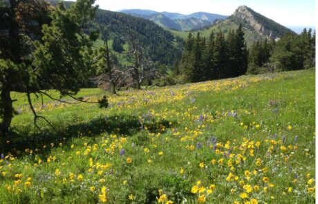
Vegetation: Cottonwood (Populus spp.), Willow (Salix spp.), Wild Bergamot (Monarda fistulosa), Showy Milkweed (Asclepias speciosa), Wild Rose (Rosa spp.), Red-osier dogwood (Cornus sericea)
Launch
GPS Location: 44.88291, -106.98771
Side of waterway: River left
Flow description at site: Slow moving, straight, deeper
Ease of access: Gentle to moderate slope launch/land area with sheer bankside, step slope to staging area.
Staging area: Large grassy area about 20ft from the water with direct access to parking.
Parking: Grass lot, moderate space.
Amenities: None
Landing
GPS Location: 44.94402, -106.94315
Side of waterway: River right.
Flow description at site: Swift moving, straight, shallow.
Ease of access: Gentle slope launch/land area, can be muddy, gentle/moderate slope to staging area.
Staging area: Large grass area about 20ft from the water, direct access to parking.
Parking: Gravel loop with gravel/dirt/grass parking area.
Amenities: Porta-potty.
History
Dr. Delilah Turner Sprague Babcock Sonnesberger arrived in Sheridan in 1883. She moved from Johnson County, Wyoming Territory, where her family was known for being some of the early pioneers that moved to the northern frontier of Wyoming in 1878. In 1881, she was the first woman to cast her ballot in Johnson County. She was a prominent landowner in Sheridan and owned the entire southeastern part of town, which is in proximity of present day N. Scott Street and around Coffeen Avenue. Delilah was a physician and studied medicine in Illinois in 1876. She outlived her three husbands and most of her seven children. The 16th of August is a significant date in Delilah’s life; it is the same date she was born, died, and twice married. Delilah’s strong puritanical views are seen within her property deeds. She included clauses that prohibited the land from be used for houses of intemperance or ill repute.
PHOTOS FROM THE SEGMENT
LOOK OUT FOR THESE HAZARDS and text re: hazards below.
SEE OTHER SEGMENTS
Passionate about recreation?
Jared would love to visit:
