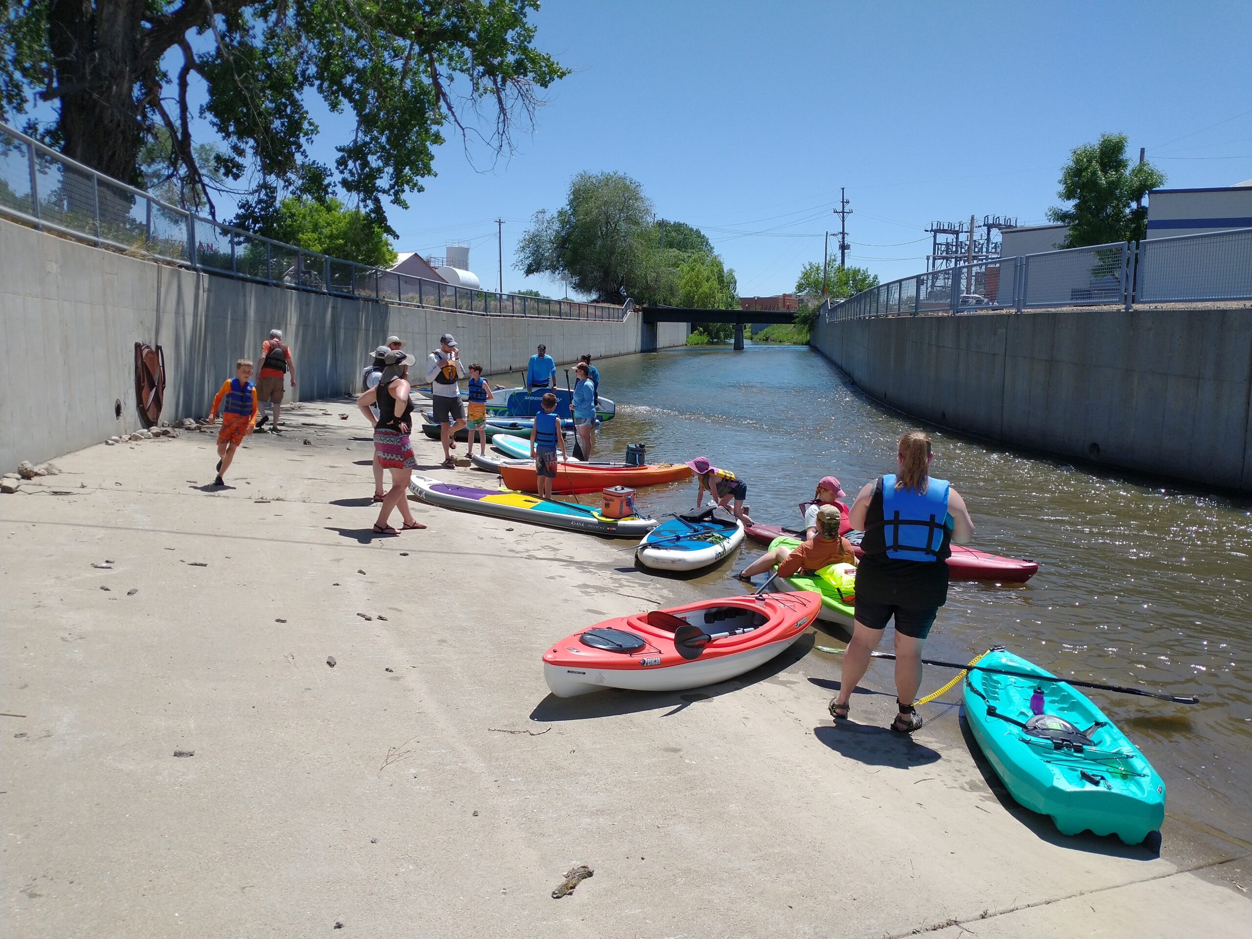
Below we’ve featured the segments of the Tongue River Water Trail. Remember to respect private land and other users of the waterways. Sheridan Community Land Trust preserves our open spaces, healthy rivers and creeks, working ranches, wildlife habitat, and vibrant history, while expanding recreation opportunities to connect people with the places they love.
Know of a segment change, or see an error?
Email us here or call 307-673-4702
All routes have been rated following International Scale of River Difficulty.
If you’re interested in learning more about other trails in the area, click >>here.
Click here for > Flow dataset from various sites across Wyoming.
Click here for > Tongue River flows near Dayton, WY.
Click here > Tongue River flows near Wyoming / Montana state.
Click here > WGFD Aquatic Invasive Species decal information.
Goose Creek Access Sites
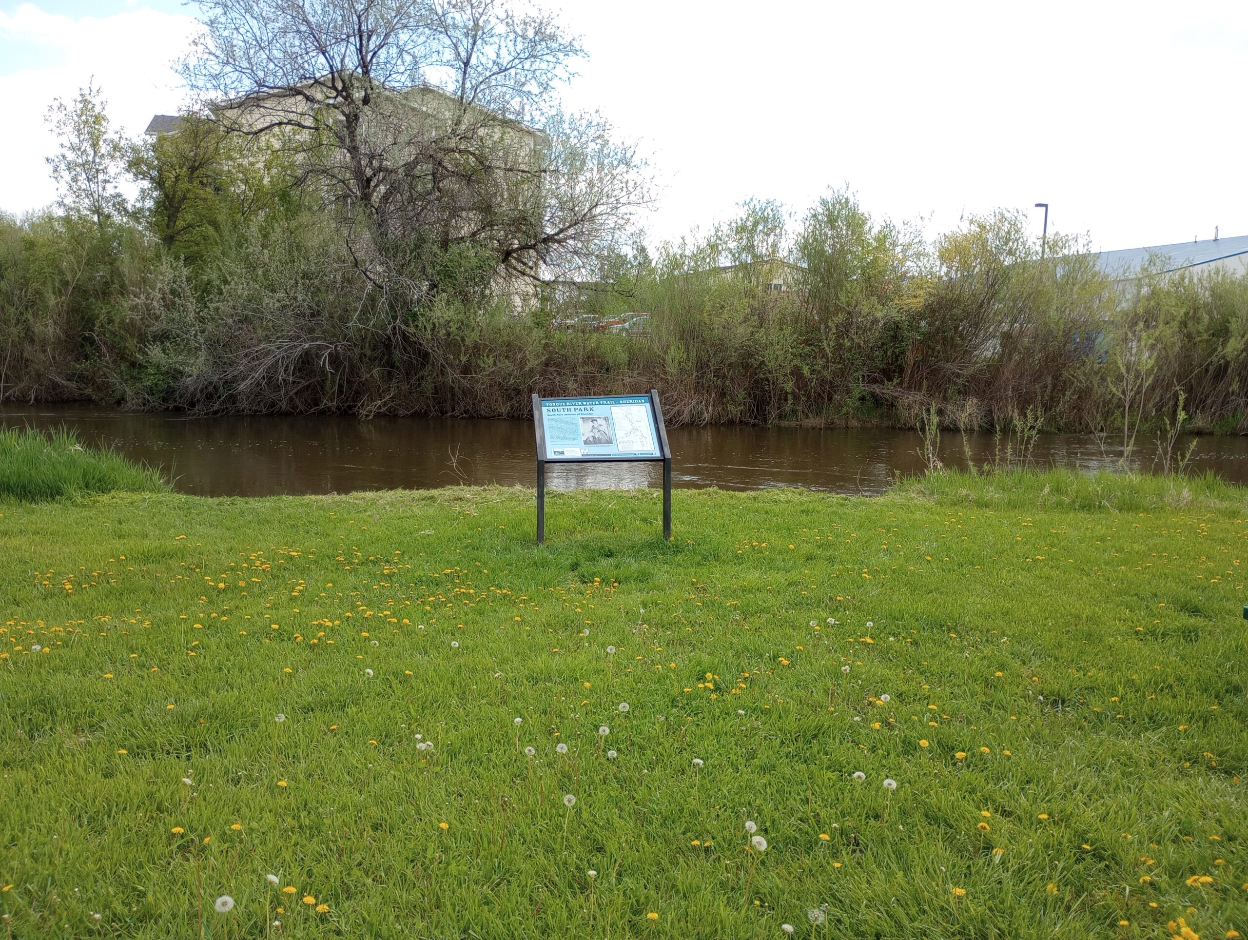
South Park to Sheltered Acres Park
Class at average July flow: 2 Length: 0.94 miles Average drop/mile: 18.1ft/mile Average CFS in July: No data, expect ~100 - ~140 CFS Float time at average CFS: 15 minutes Drive distance between launch and land: 1.7 miles Straight line distance between launch and land: 0.48 miles [...]
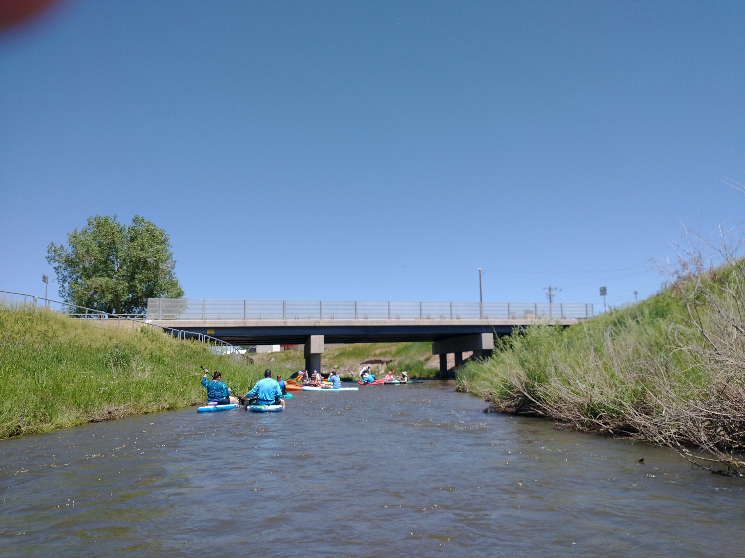
Sheltered Acres Park to Sheridan College Downtown
Class at average July flow: 2 Length: 2.12 miles Average drop/mile: 20.75ft/mile Average CFS in July: No data, expect ~100 - ~140 CFS Float time at average CFS: 20 minutes Drive distance between launch and land: 1.5 miles Straight line distance between launch and land: 1.38 miles [...]
Sheridan College Downtown to Mill Park
Class at average July flow: 1 Length: 0.33 miles Average drop/mile: 39.4 ft/mile Average CFS in July: No data, expect ~100 - ~140 CFS Float time at average CFS: 5 minutes Drive distance between launch and land: 0.4 miles Straight line distance between launch and land: 0.28 miles [...]
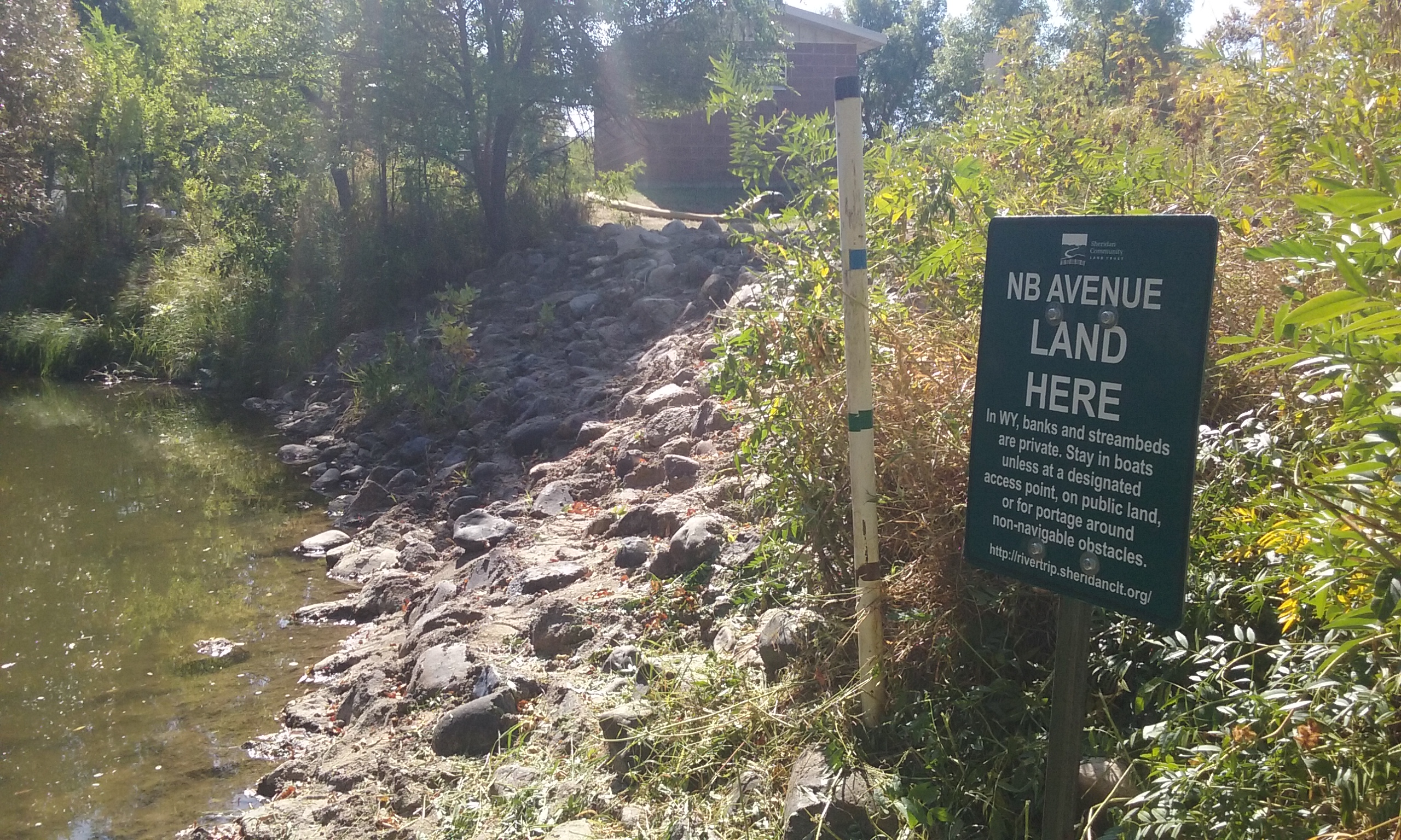
Leopard Street to NB Avenue
Class at average July flow: 2 Length: 1.8 miles Average drop/mile: 6.7ft/mile Average CFS in July: ~140 CFS Float time at average CFS: 20 minutes Drive distance between launch and land: 0.9 miles Straight line distance between launch and land: 0.81 miles About This Float [...]
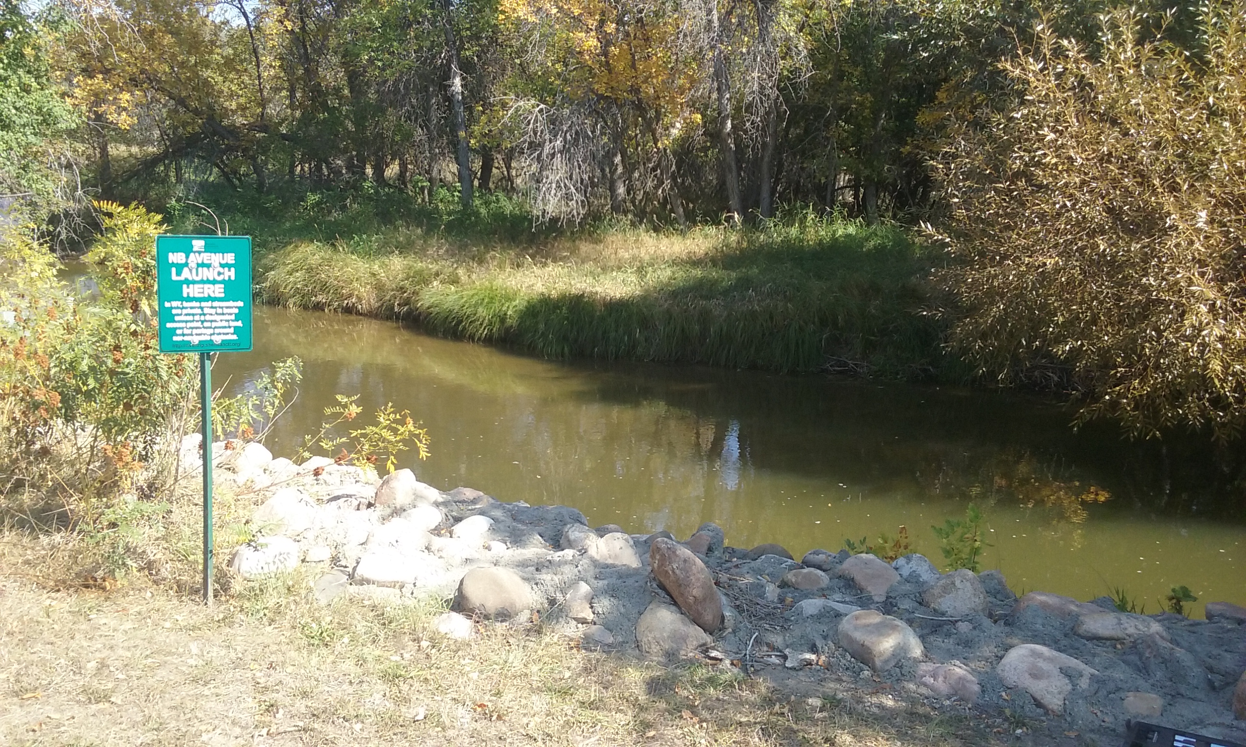
NB Avenue to W Works Street
Class at average July flow: 2 Length: 0.96 miles Average drop/mile: 9.37ft/mile Average CFS in July: ~140 CFS Float time at average CFS: 15 minutes Drive distance between launch and land: 1.1 miles Straight line distance between launch and land: 0.35 miles About This Float [...]
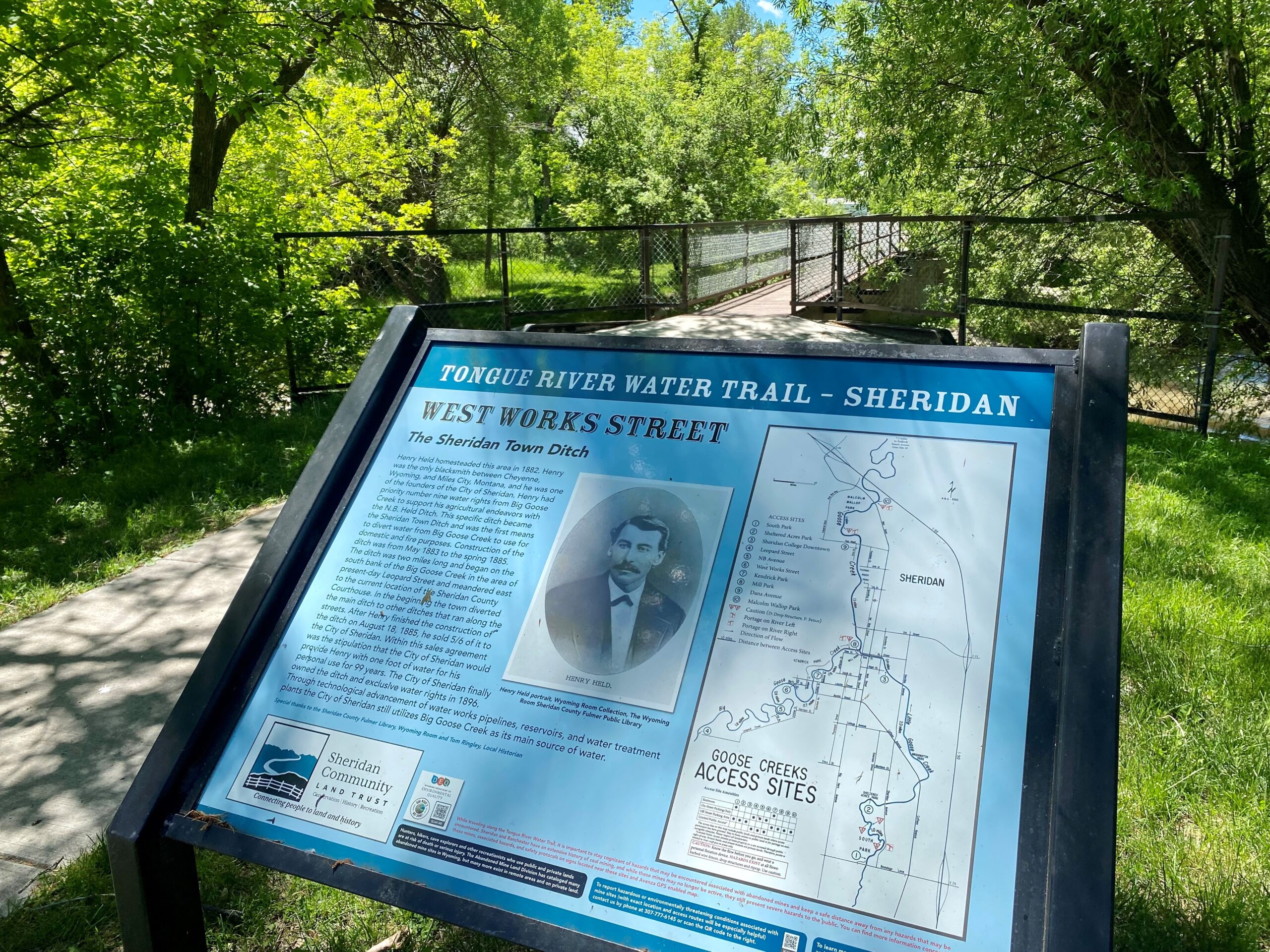
W. Works Street to Kendrick Park
Class at average July flow: 2 Length: 0.72 miles Average drop/mile: 9.72ft/mile Average CFS in July: ~140 CFS Float time at average CFS: 10 minutes Drive distance between launch and land: 0.4 miles Straight line distance between launch and land: 0.34 miles About This Float [...]
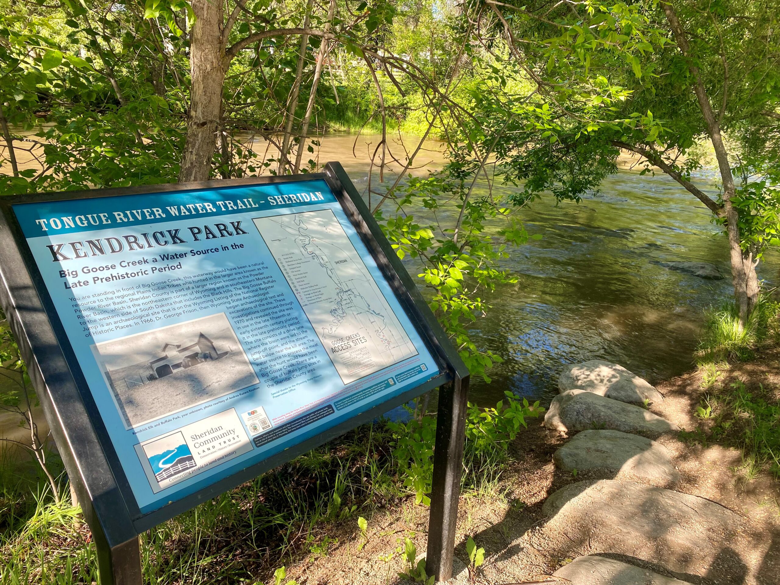
Kendrick Park to Mill Park
Class at average July flow: 3 Length: 0.56 miles Average drop/mile: 73.2ft/mile Average CFS in July: ~140 CFS Float time at average CFS: 5 minutes Drive distance between launch and land: 1.2 miles Straight line distance between launch and land: 0.41 miles About This Float [...]
Mill Park to Dana Avenue
Class at average July flow: 2 Length: 1.38 miles Average drop/mile: 9.42ft/mile Average CFS in July: ~140 CFS Float time at average CFS: 15 minutes Drive distance between launch and land: 1.8 miles Straight line distance between launch and land: 1.2 miles About This Float [...]
Dana Avenue to Malcolm Wallop Park
Class at average July flow: 2 Length: 1.1 miles Average drop/mile: 12.72ft/mile Average CFS in July: ~140 CFS Float time at average CFS: 20 minutes Drive distance between launch and land: 1 mile Straight line distance between launch and land: 0.62 miles About This Float [...]
Malcolm Wallop Park to Padlock Ranch
Class at average July flow: 2 Length: 7.23 miles Average drop/mile: 10.8ft/mile Average CFS in July: ~140 CFS Float time at average CFS: 3-5 hours Drive distance between launch and land: 4.4 miles Straight line distance between launch and land: 3.95 miles About This Float [...]
Tongue River Access Sites
Padlock Ranch to Welch Recreation Area
Class at average July flow: 2 Length: 13.74 miles Average drop/mile: 5.2ft/mile Average CFS in July: ~456 CFS Float time at average CFS: 4-6 hours Drive distance between launch and land: 6.6 miles Straight line distance between launch and land: 4.77 miles About This Float [...]
Kleenburn to Welch Recreation Area
Class at average July flow: 2 Length: 12.39 miles Average drop/mile: 7 ft/mile Average CFS in July: No data Float time at average CFS: 4-5 hours Drive distance between launch and land: 10.8 miles Straight line distance between launch and land: 4.23 miles About This [...]

