
- Class at average July flow: 2
- Length: 2.12 miles
- Average drop/mile: 20.75ft/mile
- Average CFS in July: No data, expect ~100 – ~140 CFS
- Float time at average CFS: 20 minutes
- Drive distance between launch and land: 1.5 miles
- Straight line distance between launch and land: 1.38 miles
About This Float Segment:
This quick float features a few winding curves with mainly longer straight sections flanked by high banks. There are plenty of opportunities to wave to jealous people who wish they were on the water as you pass under seven vehicle bridges and one pedestrian bridge. Keep an eye out in the water as this stretch passes directly over exposed coal seams.
Quick and Dirty:
Known hazards: Overhanging trees can create sweepers here, even during low flows.
Wildlife: Hawks, falcons, buzzards, ducks, geese, box turtles, and minks.
Vegetation: Cottonwood (Populus spp.), Willow (Salix spp.), Wild Bergamot (Monarda fistulosa), Showy Milkweed (Asclepias speciosa), Wild Rose (Rosa spp.), Red-osier dogwood (Cornus sericea)

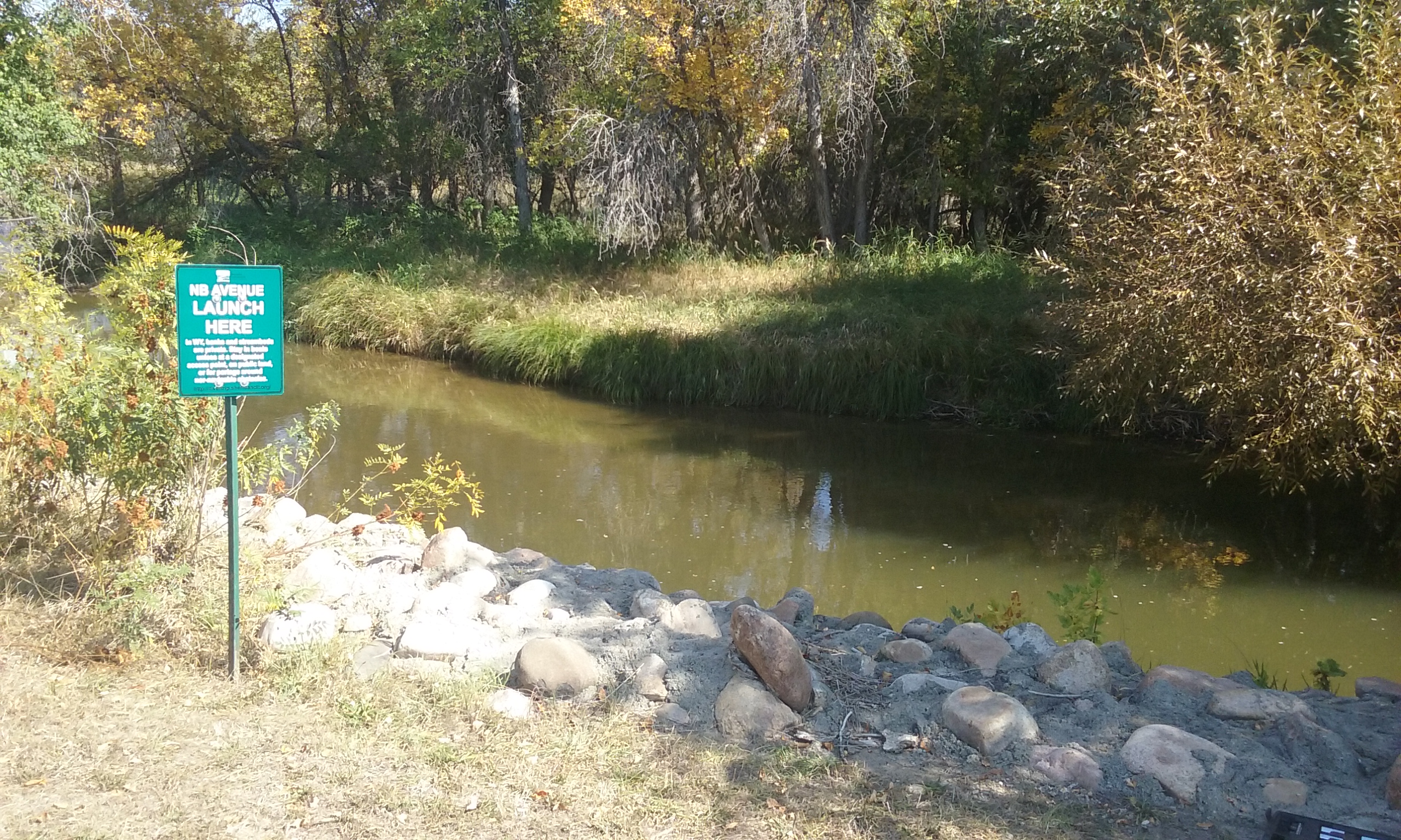
Launch
GPS Location: 44.78183, -106.95252
Side of waterway: River left
Flow description at site: Swift moving straight, shallow
Ease of access: Gentle slope launch/land area, little to no space during high water, moderate slope to staging area.
Staging area: Large grass area about 20ft from the water, direct access to parking.
Parking: On street at Kurtz Pl, usually plenty of parking spots.
Amenities: Porta-potty, picnic shelter, tennis court, and playground.
Landing
GPS Location: 44.80121, -106.95248
Side of waterway: River left
Flow description at site: Swift moving straight, shallow
Ease of access: Moderate slope launch/land area, moderate slope to staging area.
Staging area: Large concrete parking lot about 130ft from the water, access to parking depends on public parking availability.
Parking: Nearby public parking
Amenities: Nearby downtown businesses.
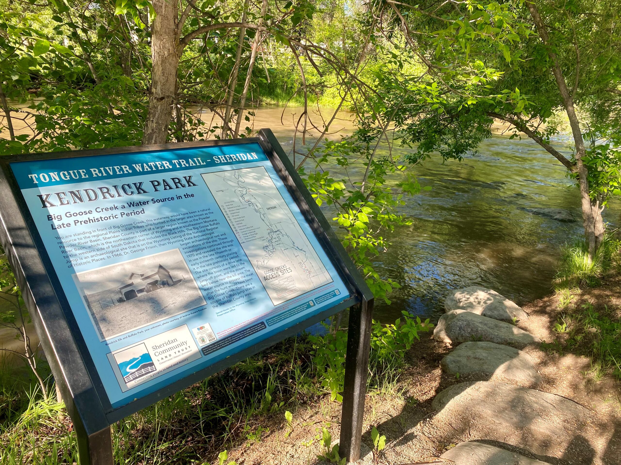
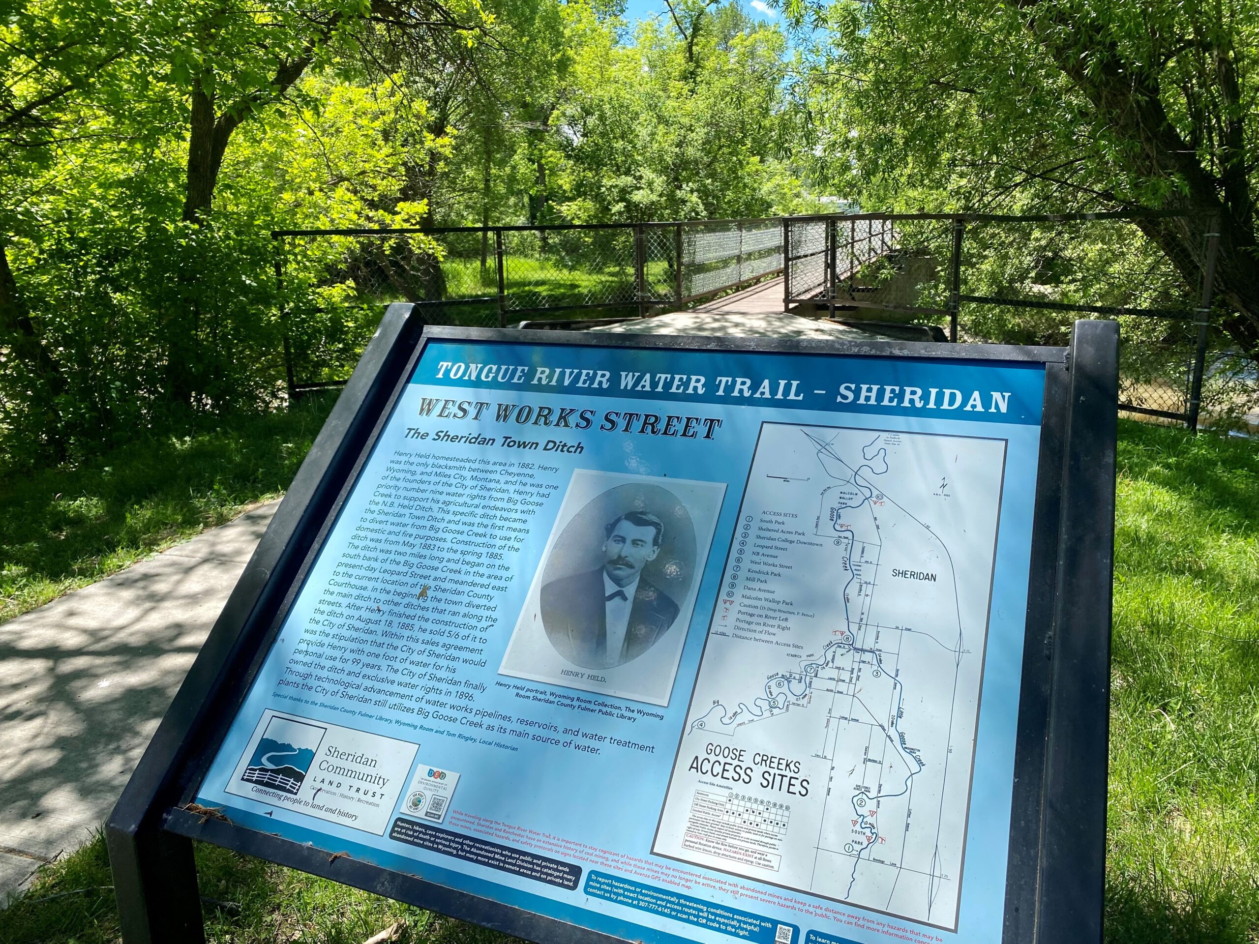
History
Early local history depicts that Big Goose and Little Goose Creeks were named by early settlers traveling through this area for the numerous wild geese found in this migratory habitat. The town of Sheridan started out as a farming community and the relatively low elevation offered for a more moderate climate and a possible longer growing season in the state of Wyoming. Prior to the founding of Sheridan, the Goose Creek Valley had temporary European inhabitants of trappers and hay contractors with more permanent settlers appearing by 1877. In the late 1870s, the Patrick brothers (Matthew and Algernon) operated an early stagecoach route along the old Bozeman Trail and founded the PK Ranch on Soldier Creek that is west of Sheridan. An 1880 census record indicates that 72 people were living along Big and Little Goose Creeks. The stream course here was altered by the Army Corps of Engineers to reduce flooding in the city of Sheridan. The straightening and channeling of the Goose Creaks removed floodwater from the area faster and also eliminated vital fish habitat. As you pass under the foot bridge in Washington Park, on river right, you will see the latest efforts of the Army Corps of Engineers to restore Little Goose Creek to a more natural state.
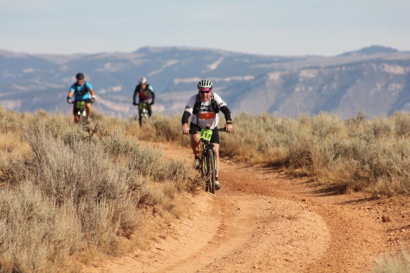
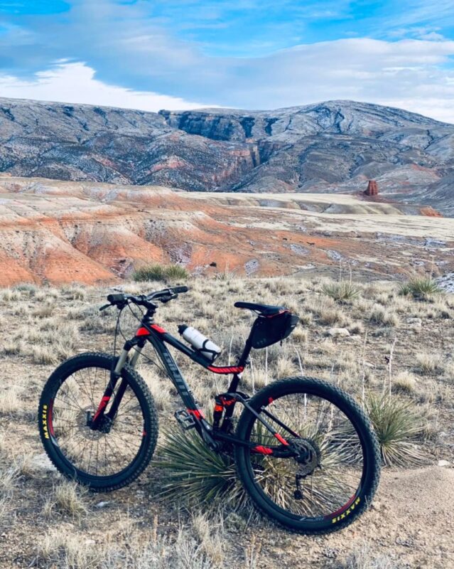
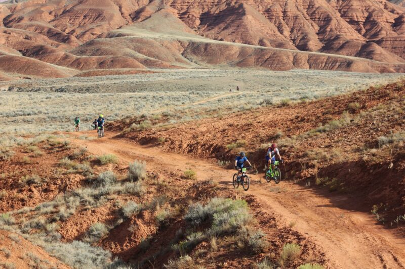
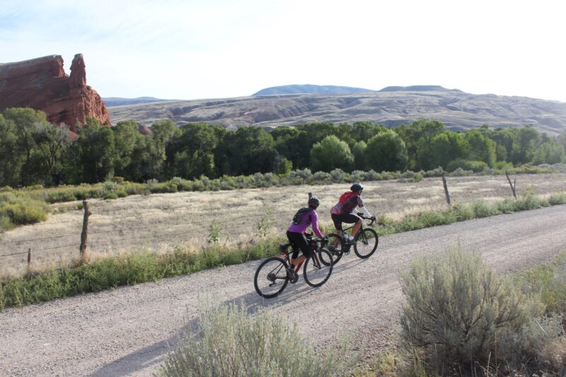
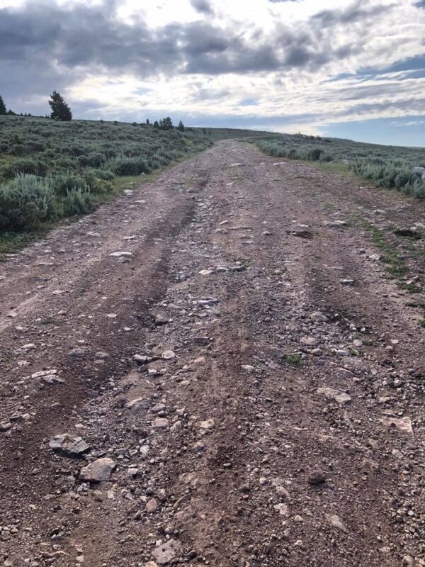
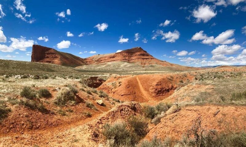
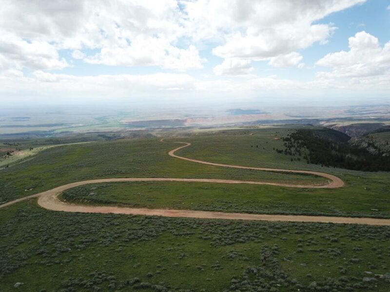
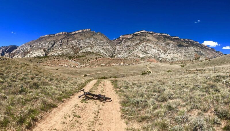
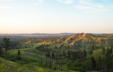
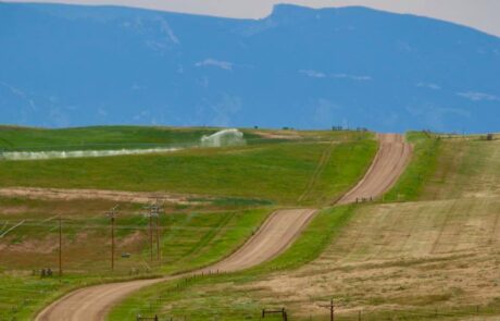
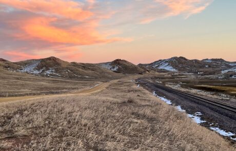
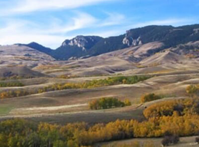
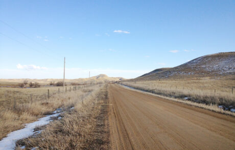
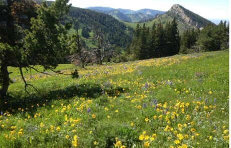
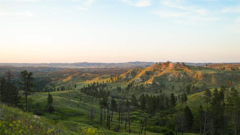
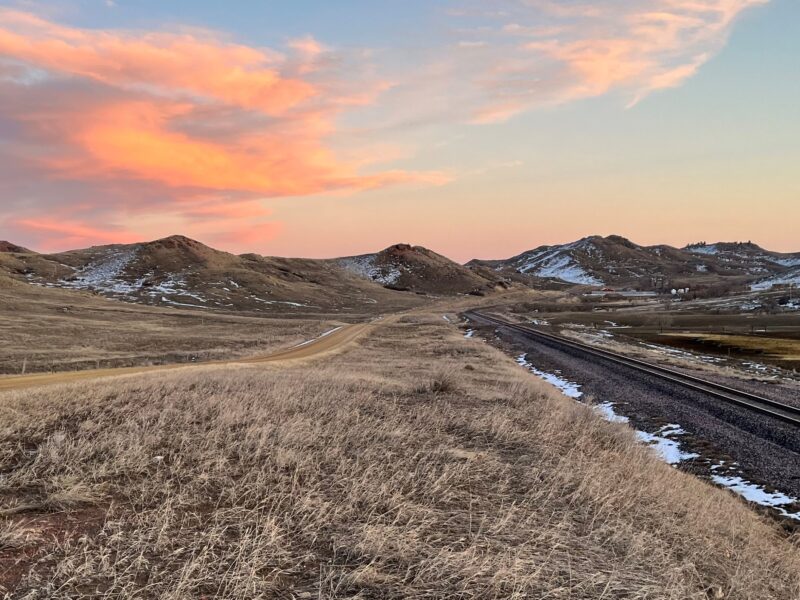
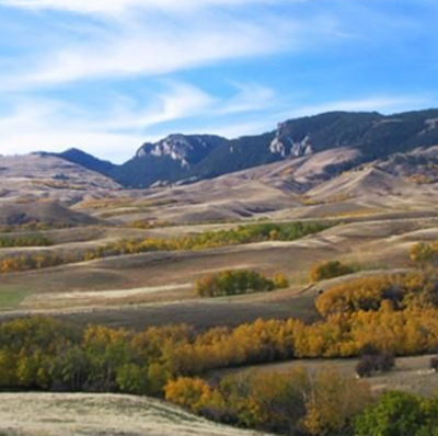
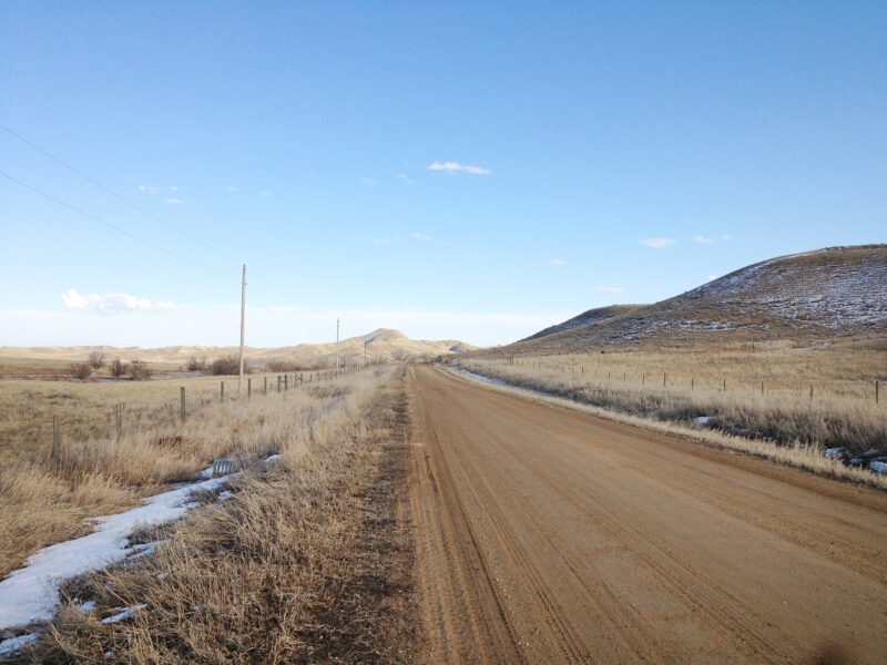
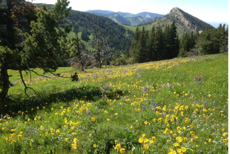
PHOTOS FROM THE SEGMENT
LOOK OUT FOR THESE HAZARDS and text re: hazards below.
SEE OTHER SEGMENTS
Passionate about recreation?
Jared would love to visit:


