
- Class at average July flow: 1
- Length: 0.33 miles
- Average drop/mile: 39.4 ft/mile
- Average CFS in July: No data, expect ~100 – ~140 CFS
- Float time at average CFS: 5 minutes
- Drive distance between launch and land: 0.4 miles
- Straight line distance between launch and land: 0.28 miles
About This Float Segment:
This is the shortest section of the entire Tongue River Water Trail. As soon as you are on the water you are passing under an abandoned rail bridge and entering the concrete channel. You will pass under four vehicle bridges and one pedestrian bridge before you reach Mill Park. The channel is about 50ft wide and has a flat bottom. Depending on your boat and the water level, you might drag along the bottom the whole way. Landing at Mill Park can be difficult due to the landing area being at the confluence point with Big Goose Creek and difficulty increases with the water level.
Quick and Dirty:
Known hazards: The current fence at the confluence can be turbulent, even at low flows.
Wildlife: Cliff swallows make nests under the bridges.
Vegetation: Moss growing from the storm water drains, life finds a way…

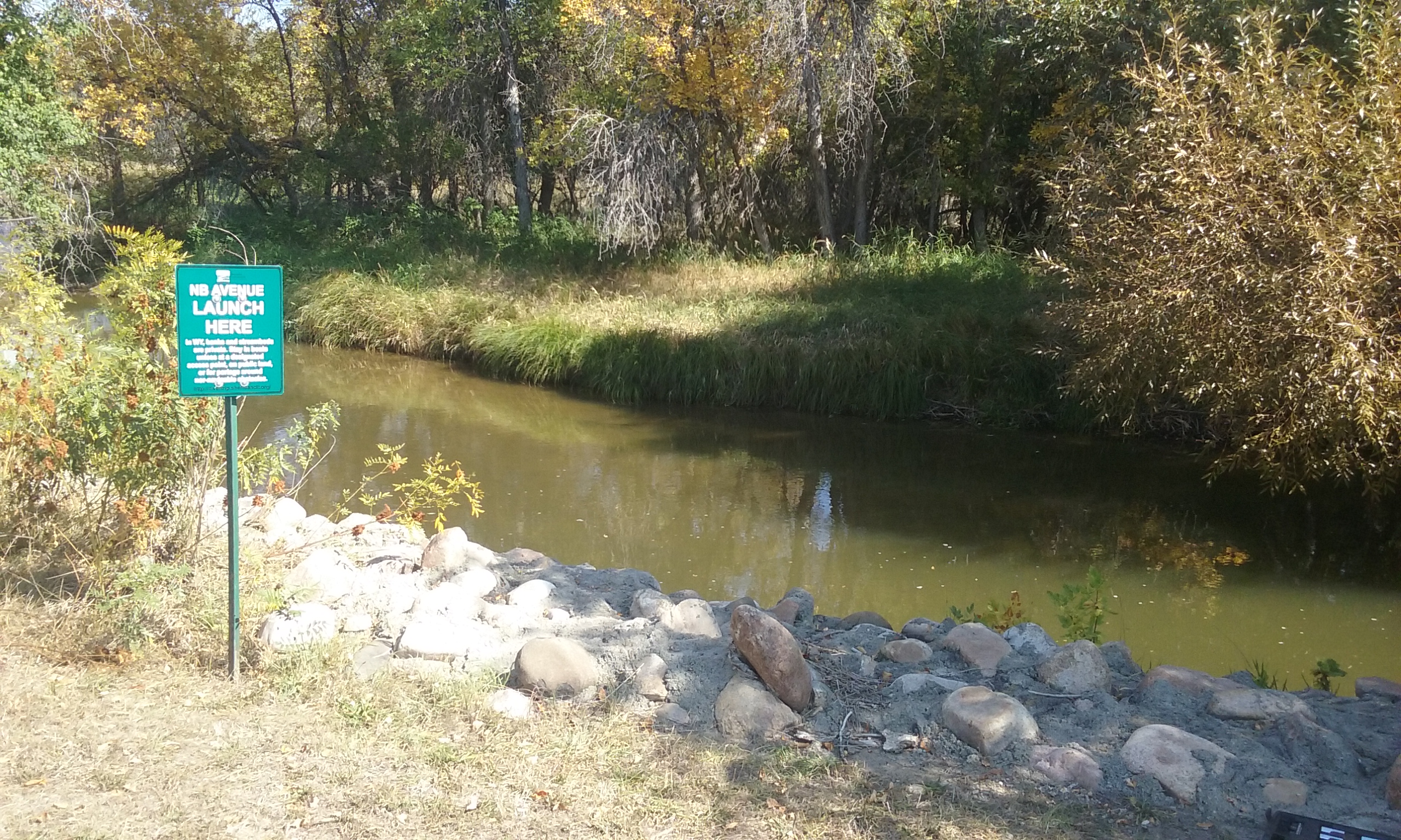
Launch
GPS Location: 44.80121, -106.95248
Side of waterway: River left
Flow description at site: Swift moving straight, shallow
Ease of access: Moderate slope launch/land area, moderate slope to staging area.
Staging area: Large concrete parking lot about 130ft from the water, access to parking depends on public parking availability.
Parking: Nearby public parking
Amenities: Nearby downtown businesses.
Landing
GPS Location: 44.80315, -106.95797
Side of waterway: River left
Flow description at site: Fast moving outside corner, confluence, deeper
Ease of access: Difficult sloped loose gravel launch/land area, moderate slope to staging area.
Staging area: Park space undergoing construction, access to parking depends on public parking availability.
Parking: Nearby public parking
Amenities: Nearby downtown businesses, park bench.
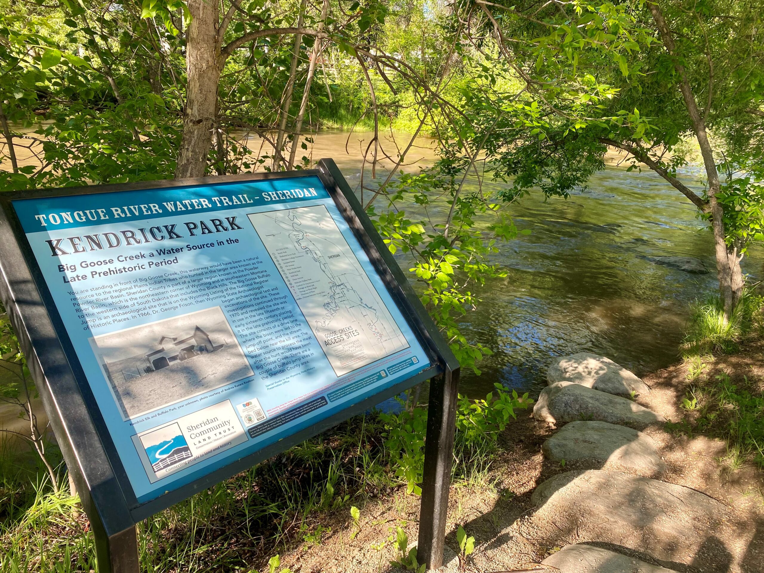
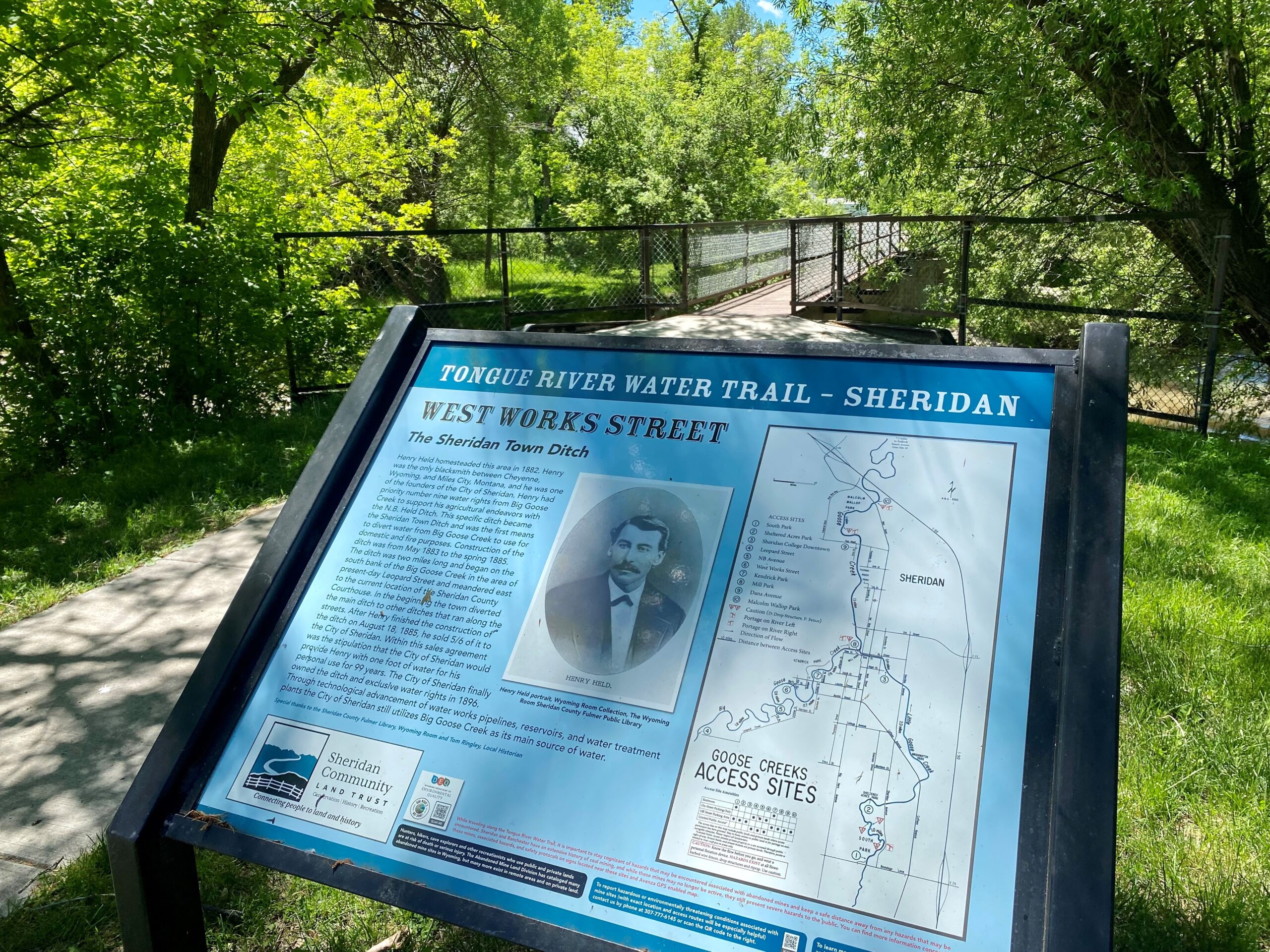
History
Original Sheridan power plant and Sheridan Iron Works can be seen from the launch. Little Goose and Big Goose Creek run north through the City of Sheridan. Both of these curvy waterways have been rerouted for the expansion of the town and for flood control. Little Goose Creek was rerouted in the early 1890s into a straight channel to accommodate the building of the Burlington and Missouri Railroad, the railroad depot, and the Sheridan Inn. Big Goose Creek was rerouted in the 1960s to stop the flooding of the city of Sheridan. One of the worst flood experiences was in 1923. Heavy rainfall expanded the creeks’ banks so much that Kendrick Park and the whole town of Sheridan were flooded. The concrete channel here was part of a project to further reduce the flood risk to Sheridan. The Army Corps of Engineers is currently working to repair some of the damage done by the original flood control plan. The concrete is slated to go away and the streambank restored to a degree. The project has been years in the making and when it is done, what you can see here now will be history.
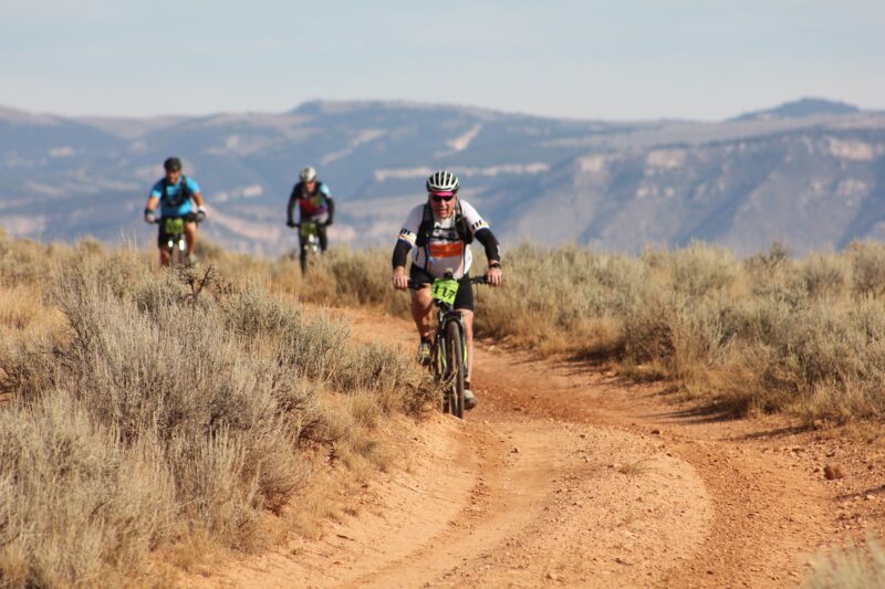
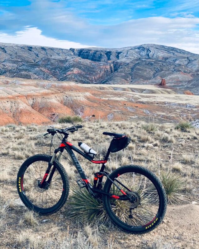
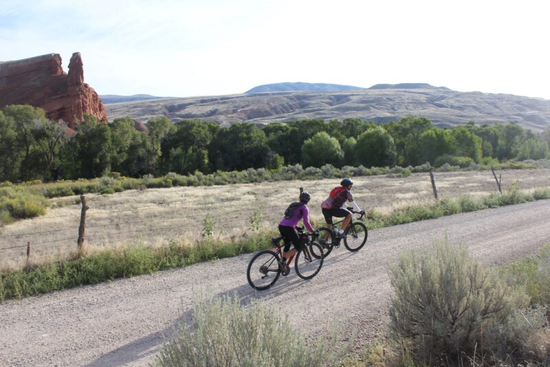
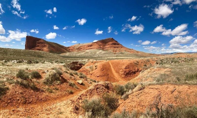
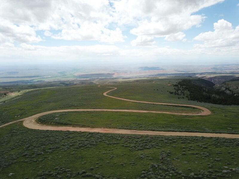
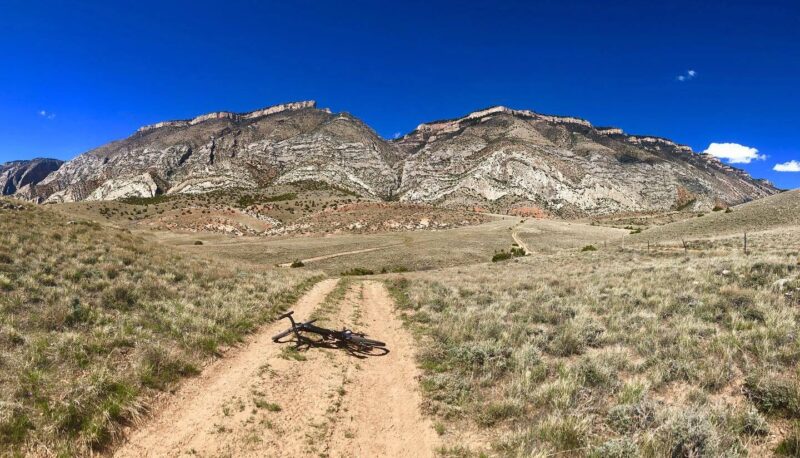
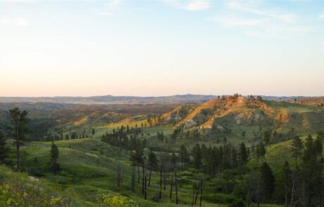
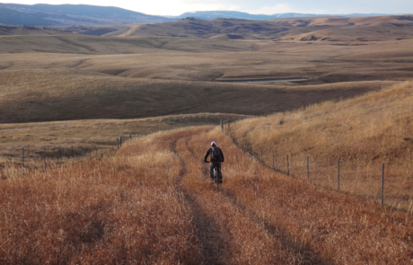
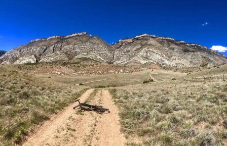
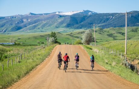
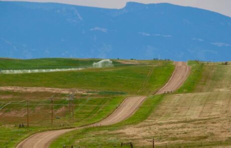
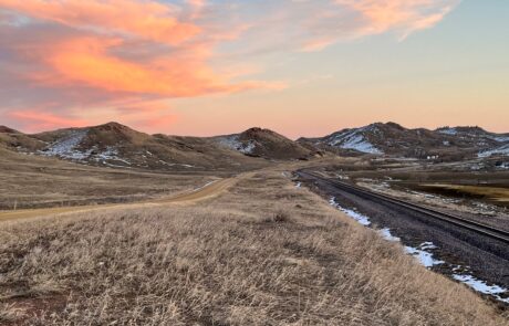
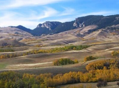
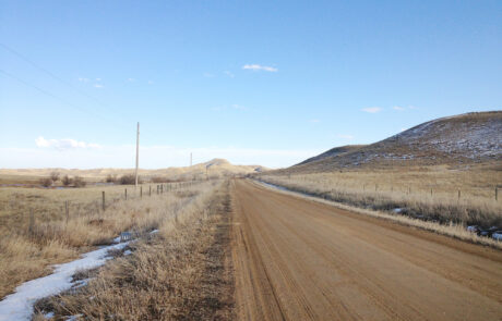
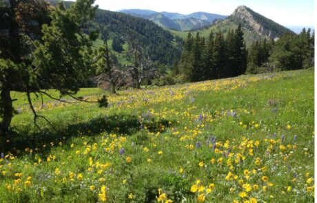
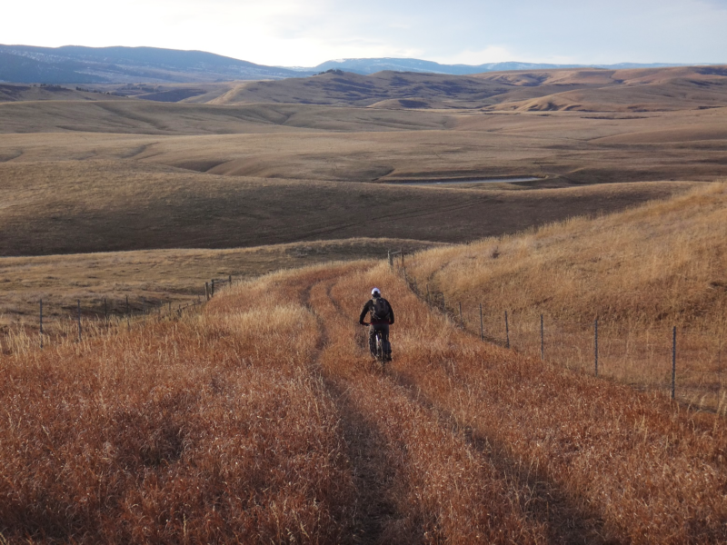
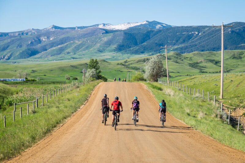
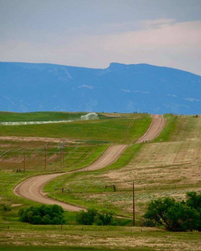
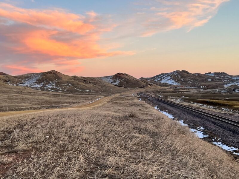
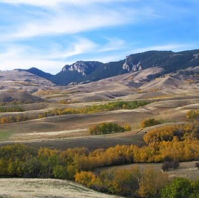
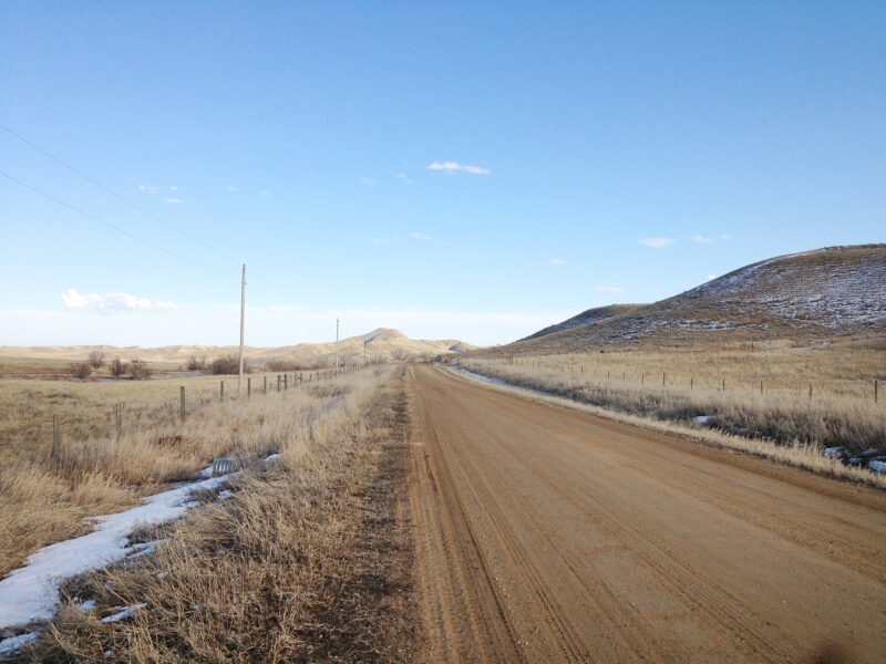
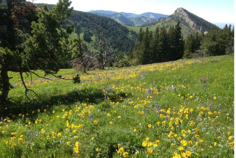
PHOTOS FROM THE SEGMENT

LOOK OUT FOR THESE HAZARDS and text re: hazards below.
SEE OTHER SEGMENTS
Passionate about recreation?
Jared would love to visit:


