
- Class at average July flow: 2
- Length: 12.39 miles
- Average drop/mile: 7 ft/mile
- Average CFS in July: No data
- Float time at average CFS: 4-5 hours
- Drive distance between launch and land: 10.8 miles
- Straight line distance between launch and land: 4.23 miles
About This Float Segment:
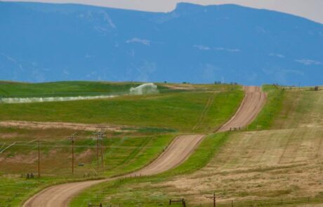
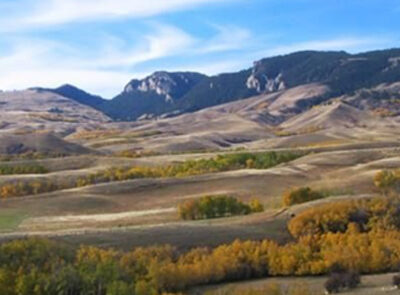
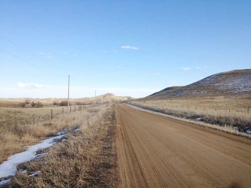
This section is all on the Tongue River and the flow picks up slightly at the confluence with Big Goose Creek. You will pass by the old Acme Power Plant and the even older mule barn, along with floating under four bridges. Due to the debris in the water at the abandoned power plant and mule barn, extra caution should always be used when floating this section. Several remnants of the old mine and communities dot the waterway as you find yourself floating through the agricultural landscape. Wide sweeping views of the mountains follow you as the river winds between the constricting hillsides and tall cottonwoods. Eagles and hawks frequent this section of the river, watching from their perches high in the branches. Shortly after the river winds its way to the Welch Recreation Area, the water slows down due to a diversion dam. This structure can easily trap a boat so portage is always required. Portage is on river right and is signed. Once back on the water, you have one mile of floating left before you arrive at the Welch Recreation Area landing on river right, before the bridge.
Quick and Dirty:
Known hazards: Overhanging trees and tight bends make sweepers and strainers common. Agricultural fences occasionally appear. One water diversion structure that must be portaged. Abandoned structures next to the waterway.
Wildlife: Eagles, hawks, falcons, buzzards, ducks, geese, cormorants, box turtles, soft shelled turtles, snapping turtles, minks, beavers, muledeer, antelope, and black bear.
Vegetation: Cottonwood (Populus spp.), Willow (Salix spp.), Wild Bergamot (Monarda fistulosa), Showy Milkweed (Asclepias speciosa), Wild Rose (Rosa spp.), Red-osier dogwood (Cornus sericea)

Launch
GPS Location: 44.90628 -107.01098
Side of waterway: River right
Flow description at site: Swift moving straight, deeper
Ease of access: Steep launch/land area on concrete steps, steep slope to staging area.
Staging area: Wide gravel path leading up to the water with direct access to parking.
Parking: Gravel lot, moderate space.
Amenities: Vault toilet, picnic tables
Landing
GPS Location: 44.94402, -106.94315
Side of waterway: River right.
Flow description at site: Swift moving, straight, shallow.
Ease of access: Gentle slope launch/land area, can be muddy, gentle/moderate slope to staging area.
Staging area: Large grassy area about 50ft from the water with direct access to parking.
Parking: Gravel loop with gravel/dirt/grass parking area.
Amenities: Porta-potty.
History
In 2009, the Wyoming Department of Environmental Quality, Abandoned Mine Land program (AML) and the Wyoming Game and Fish Department partnered to reclaim hazardous conditions left from historic coal mining activity resulting in today’s Kleenburn Recreation Area. The success of this project was nationally recognized with the 2011 Western Regional Abandoned Mine Land Reclamation Award by the United States Department of Interior’s Office of Surface Mining. St. Thomas Catholic Church and Cemetery served the largely Catholic immigrants who came mostly from Poland, and to a lesser degree, from Italy. Civil unrest and possible religious discrimination may be to blame for the church burning to the ground twice, as well as the priest’s home. St. Thomas caught fire the first time in May 1923, and after being rebuilt it was destroyed by fire a second time in July 1924. St. Thomas’ congregation moved the church to a new location, the Town of Monarch. The stone church still stands today and is a private residence. Although Interstate 90 slices between the former towns of Monarch and Carneyville/Kleenburn, these two communities were previously adjacent. Located east of I-90, Monarch’s Lutheran cemetery overlooks the Carneyville/Kleenburn townsite and the Catholic cemetery is located farther south from the townsite. Constructed in 1910, the coal-fired power plant operated until 1976 and provided power to the local mines, coal camps, and the City of Sheridan. The mule barn. The Williams homestead. Coal seam fire.
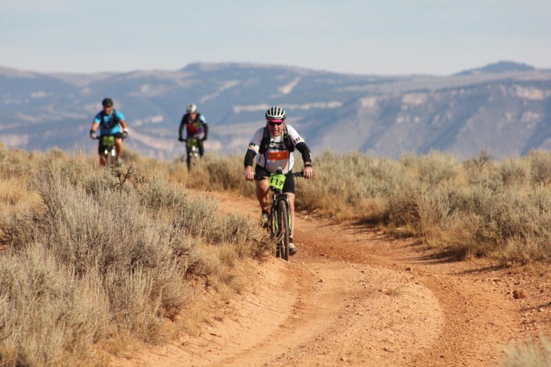
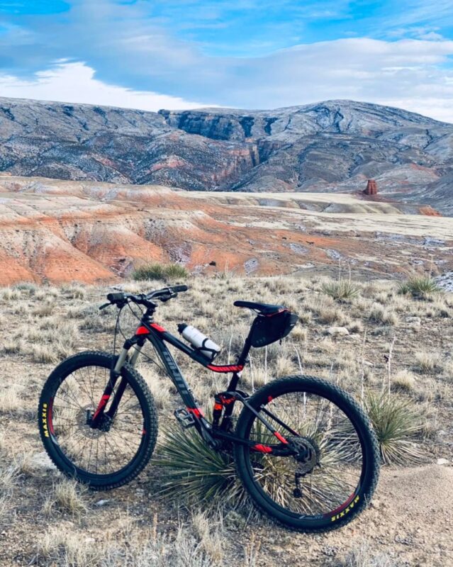
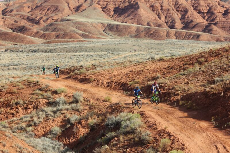
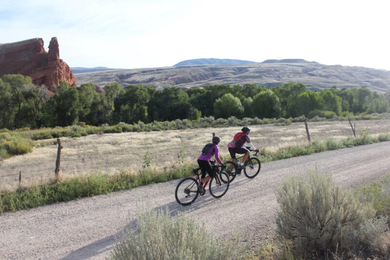
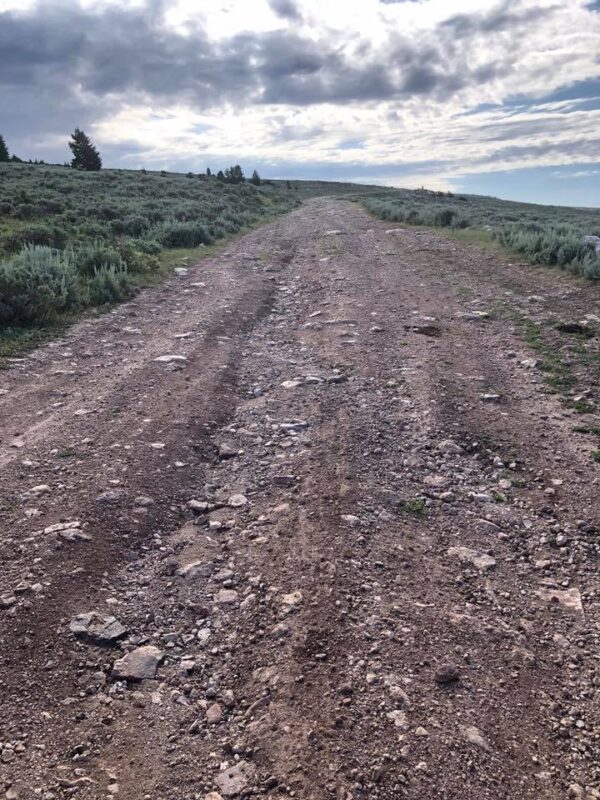
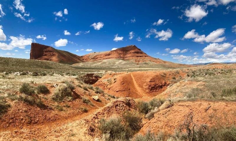
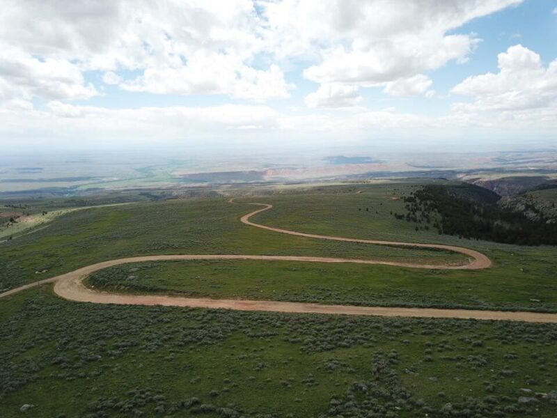
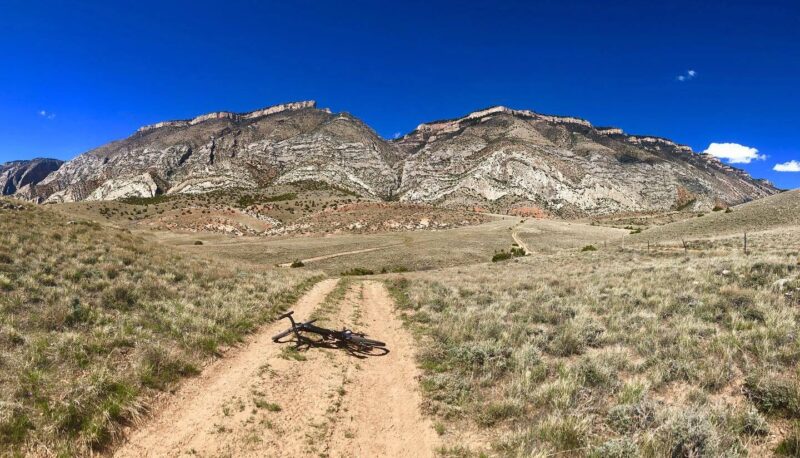
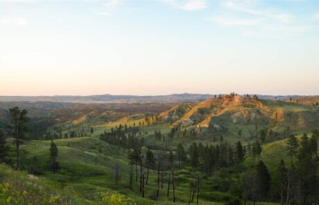
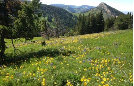
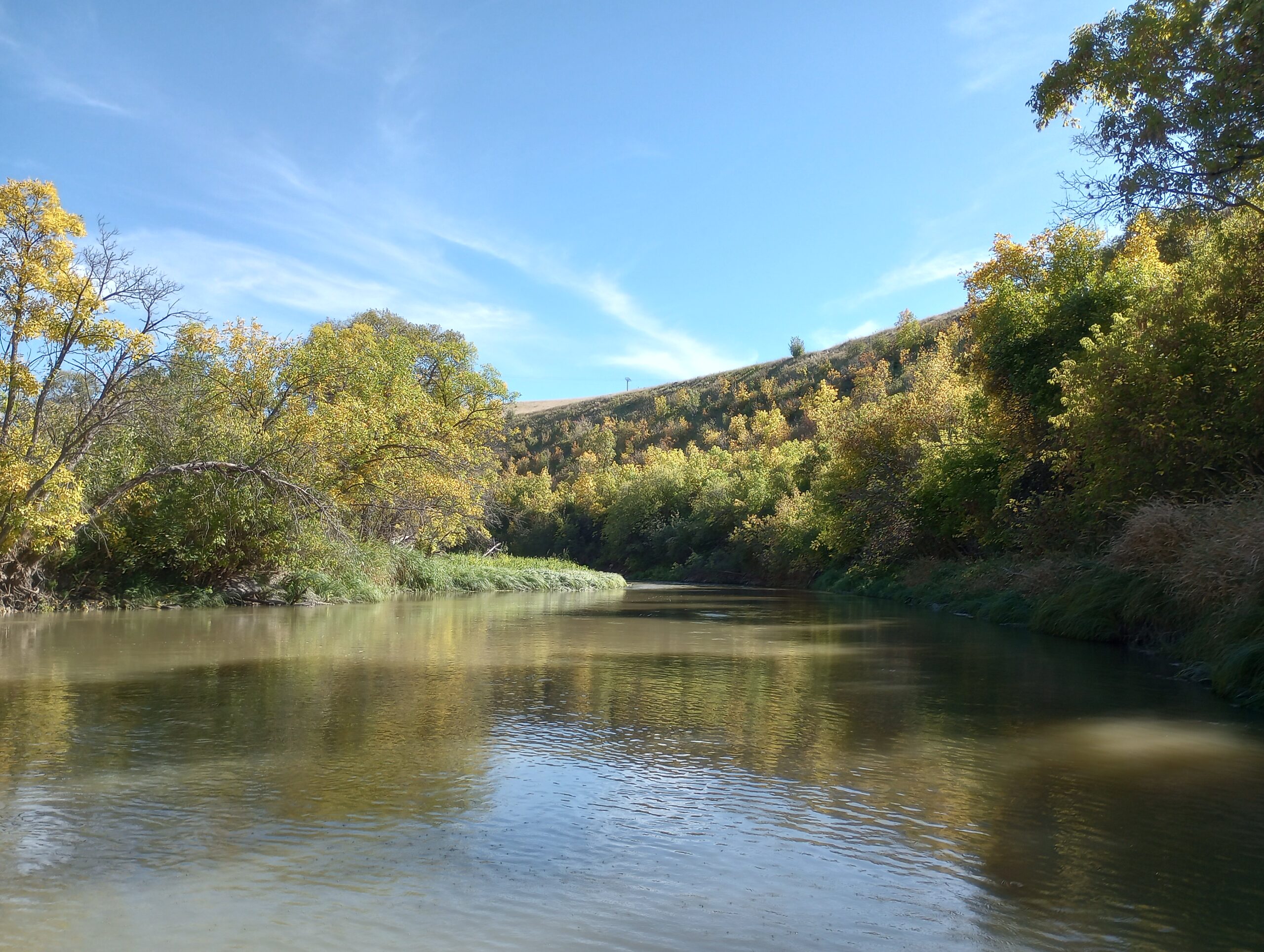
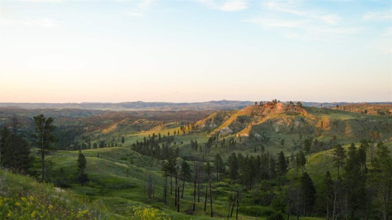
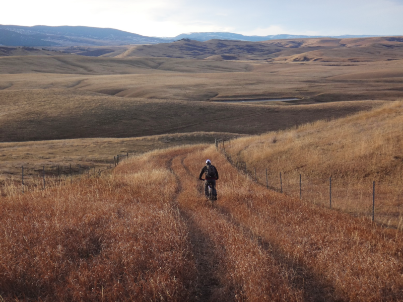
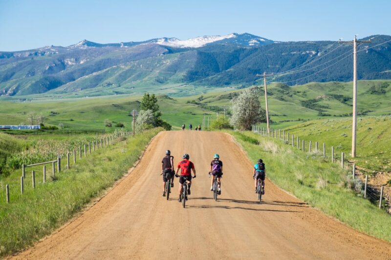
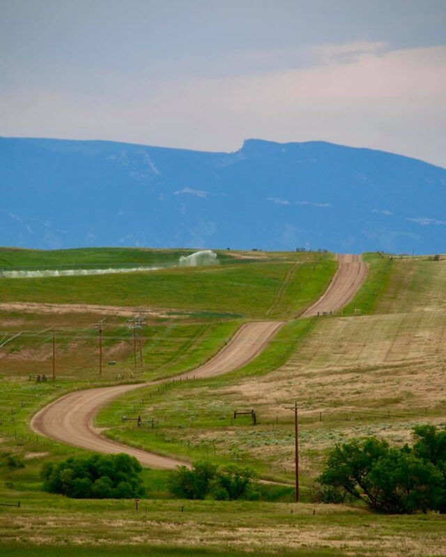
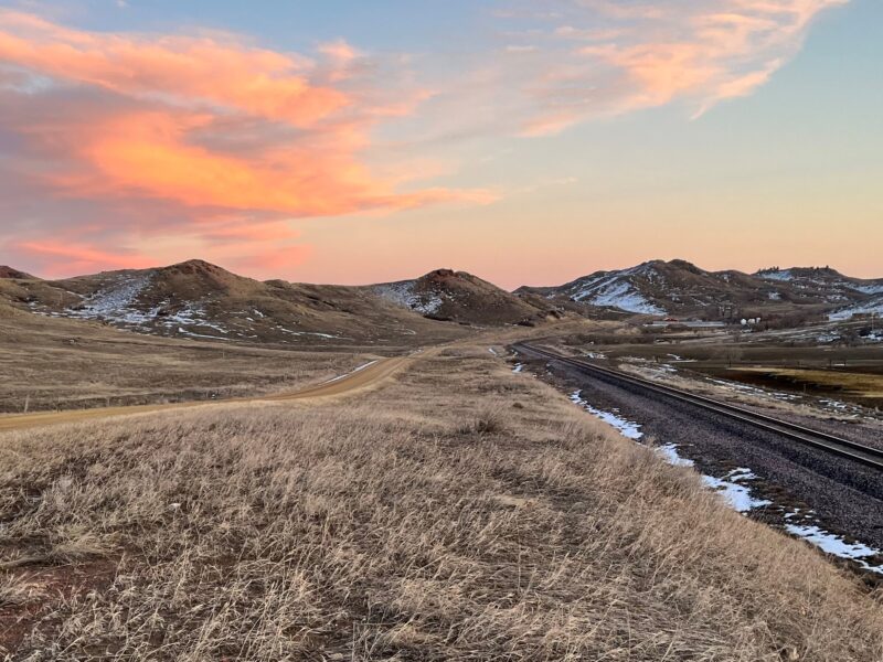
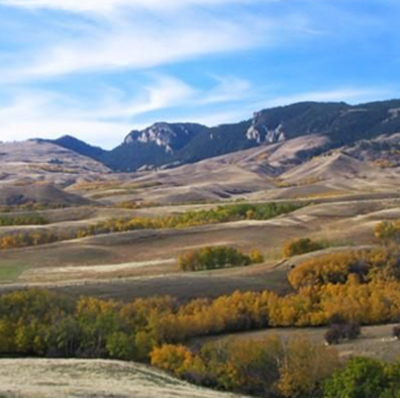
PHOTOS FROM THE SEGMENT
LOOK OUT FOR THESE HAZARDS and text re: hazards below.
SEE OTHER SEGMENTS
Passionate about recreation?
Jared would love to visit:


