- Class at average July flow: 2
- Length: 1.1 miles
- Average drop/mile: 12.72ft/mile
- Average CFS in July: ~140 CFS
- Float time at average CFS: 20 minutes
- Drive distance between launch and land: 1 mile
- Straight line distance between launch and land: 0.62 miles
About This Float Segment:
This section transitions in to another part of the Sheridan area where the creek starts to meander again. Once on the water, you will float under Fort Road, which leads to the historic Fort McKenzie. Shortly after, you will reach a water diversion structure that is built up during irrigation season. When built up, portage is required on river right. You will then float under a foot bridge and in to Malcolm Wallop Park. As you wind your way by large cottonwood trees, you will find yourself approaching one more vehicle bridge. As soon as you float under Main Street, you will arrive at the Malcolm Wallop landing immediately on river right.
Quick and Dirty:
Known hazards: Overhanging trees and tight bends make sweepers and strainers common. One diversion structure exists that must be portaged.
Wildlife: Eagles, hawks, falcons, buzzards, ducks, geese, cormorants, box turtles, soft shelled turtles, snapping turtles, minks, beavers, and muledeer.
Vegetation: Cottonwood (Populus spp.), Willow (Salix spp.), Wild Bergamot (Monarda fistulosa), Showy Milkweed (Asclepias speciosa), Wild Rose (Rosa spp.), Red-osier dogwood (Cornus sericea)

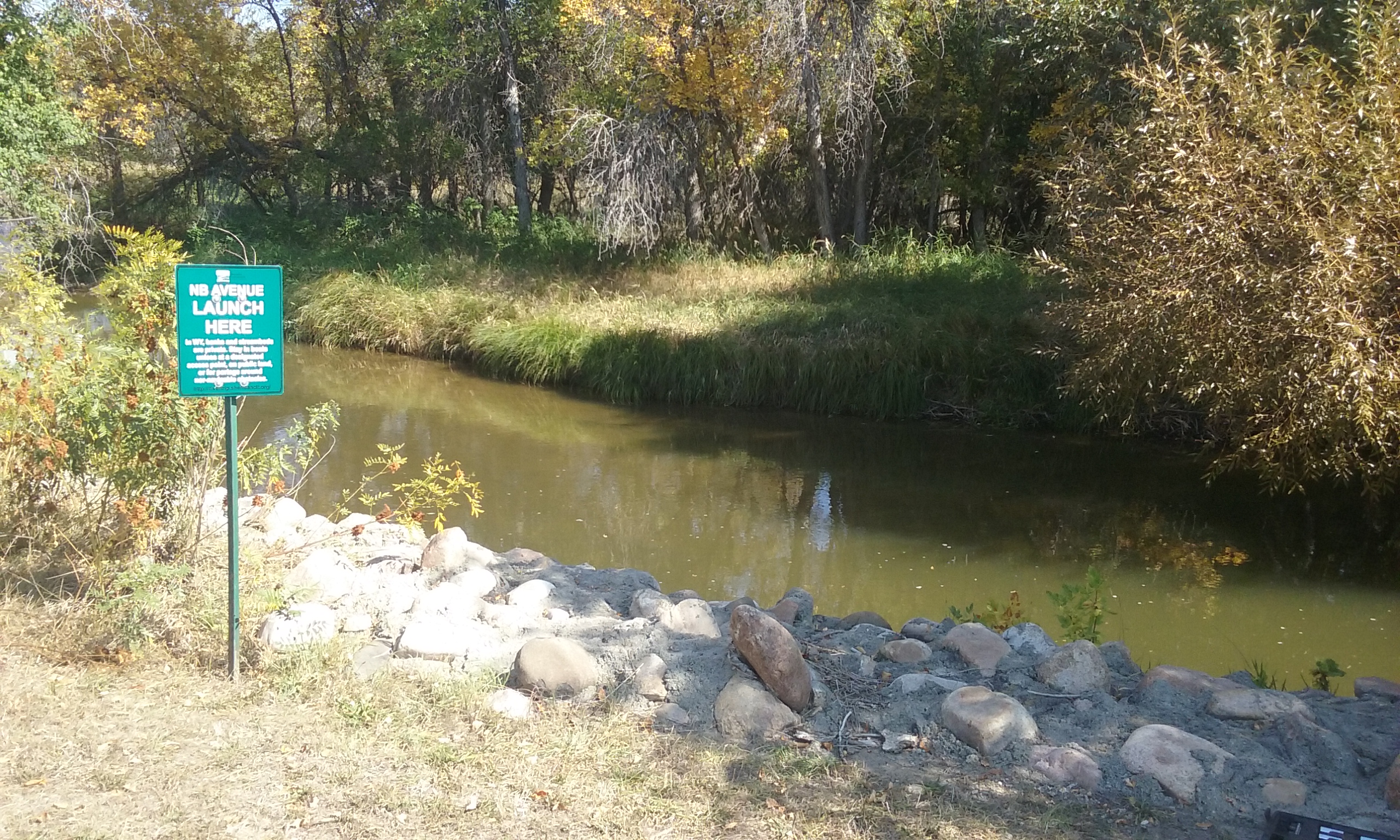
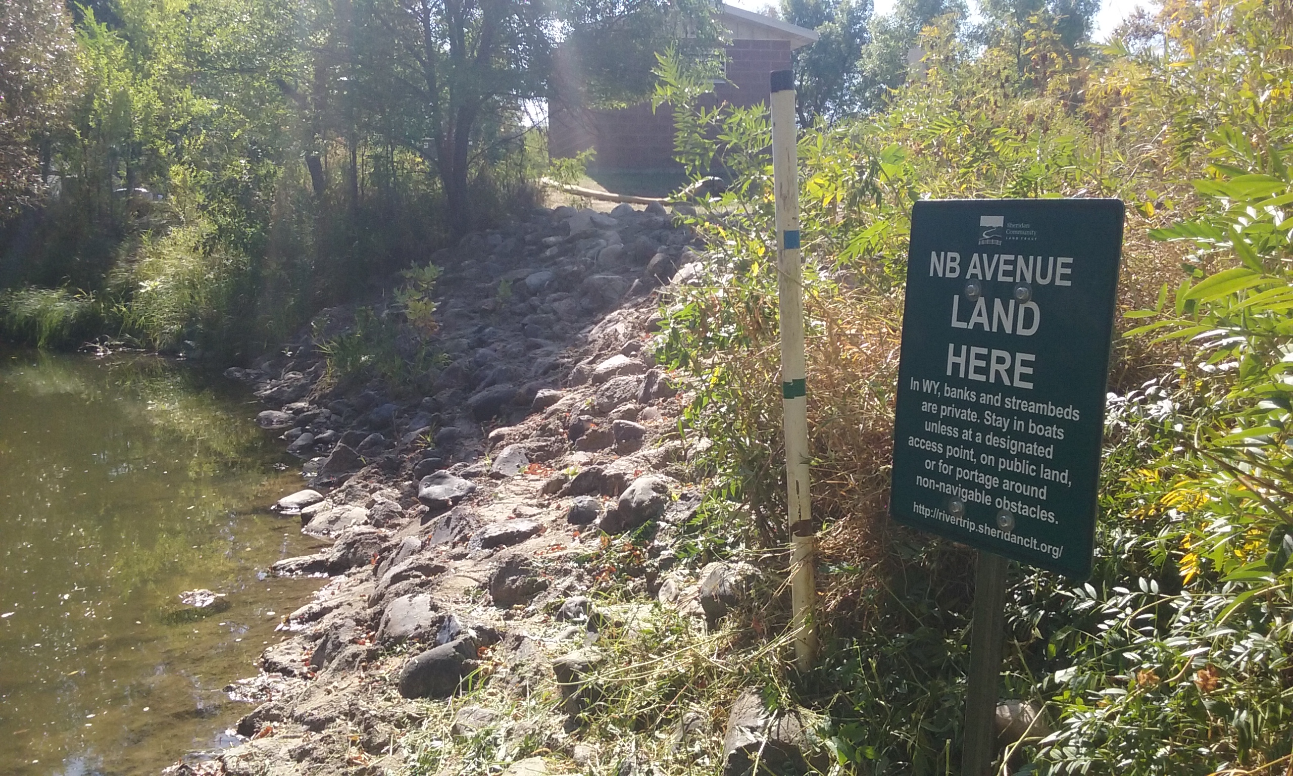
Launch
GPS Location: 44.82039, -106.96210
Side of waterway: River left
Flow description at site: Swifter moving straight, shallow
Ease of access: Gentle slope launch/land area, gentle slope to staging area.
Staging area: Large dirt/grass area leading up to the water with direct access to parking.
Parking: Gravel lot, plenty of space.
Amenities: None
Landing
GPS Location: 44.82900, -106.95965
Side of waterway: River right
Flow description at site: Slower moving s-curve transition, deeper
Ease of access: Moderate slope launch/landing area, moderate slope to staging area.
Staging area: Large gravel area about 20ft from the water with direct access to parking.
Parking: Gravel lot, plenty of space.
Amenities: None
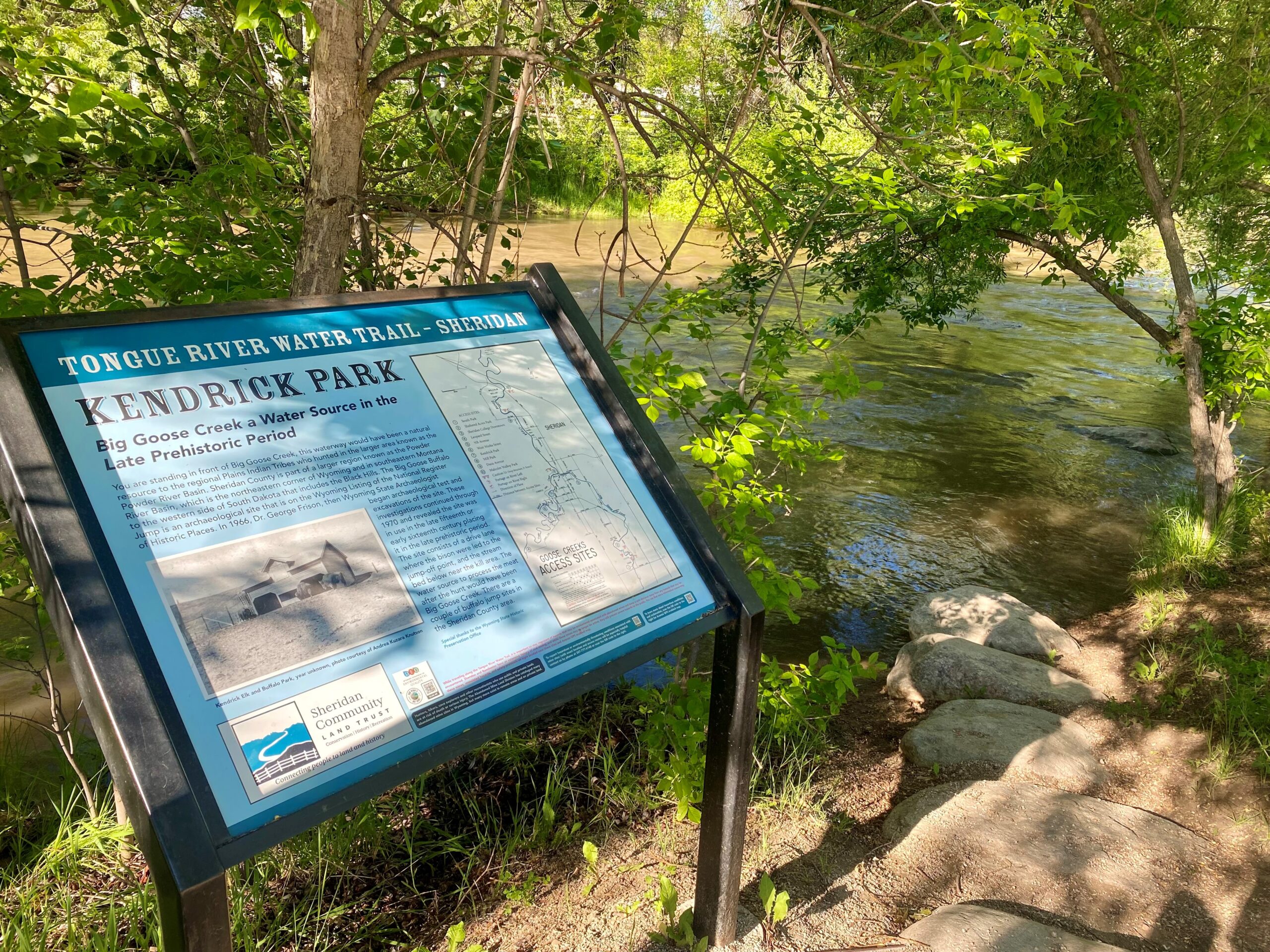
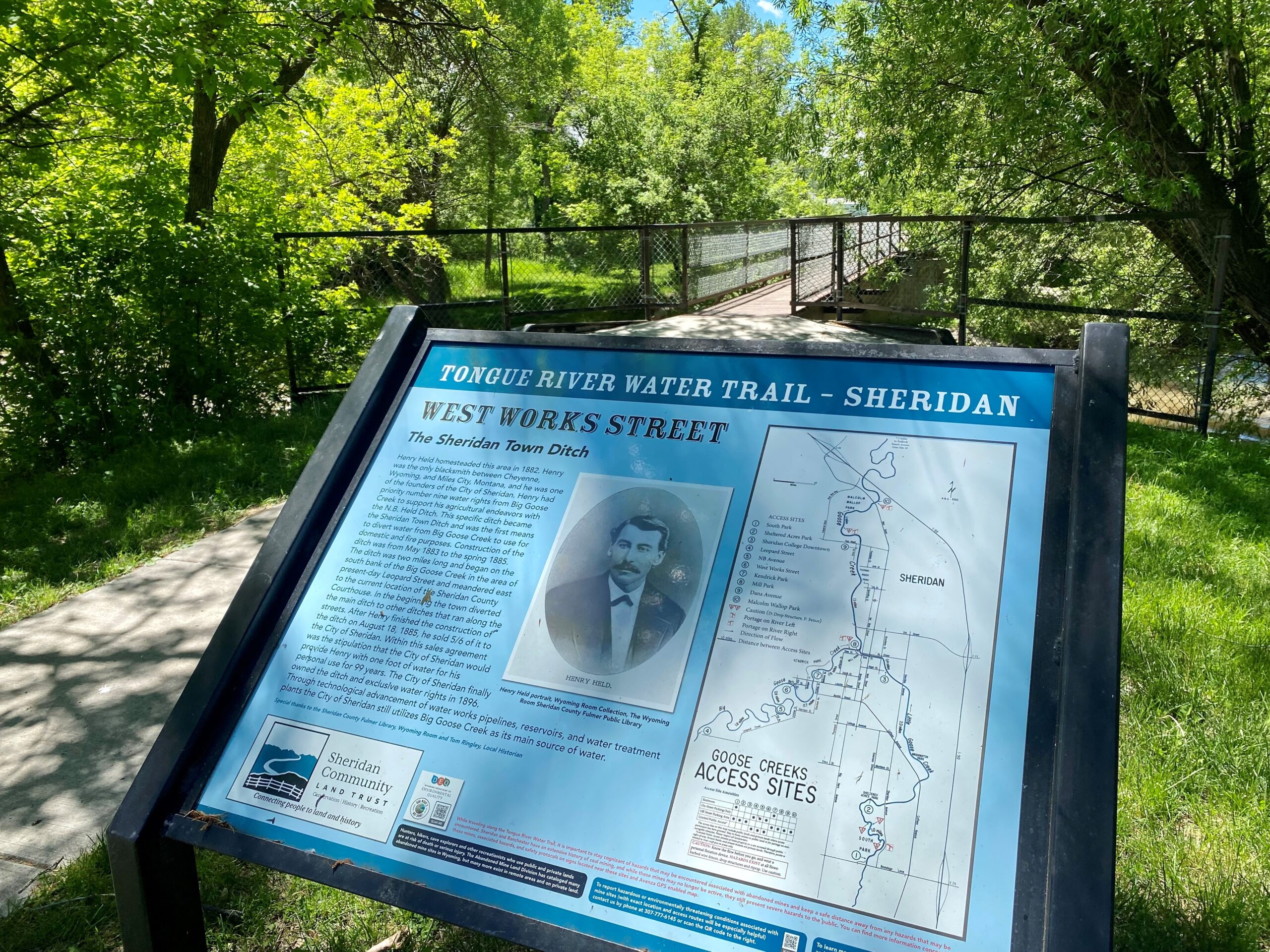
History
Thorne-Rider Stadium was established after Count Frederic Thorne-Rider tuned into a KWYO Saturday morning radio series. The radio program featured three local sports enthusiasts who were discussing active local sports programs and the community’s lack of proper facilities to support them. During the program, there was an announcement that a drive was in the planning stages to raise money to build a stadium with a “ballpark” estimate of $20,000. After the radio broadcast, Count Thorne-Rider made a few phone calls and arrangements were made with the City of Sheridan’s clerk for the contributions of Count and Countess Thorne-Rider for the whole “ballpark” estimate. The task of construction fell to the Sheridan Athletic Association. A year later, the stadium opened in 1950. Provisions from the Thorne-Rider Foundation enabled further development of the stadium property and to fulfill the vision “for the enjoyment of the adults and youths of the Sheridan community.” Floating under historic Fort Road bridge. Rail bridge.
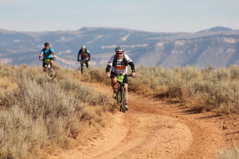
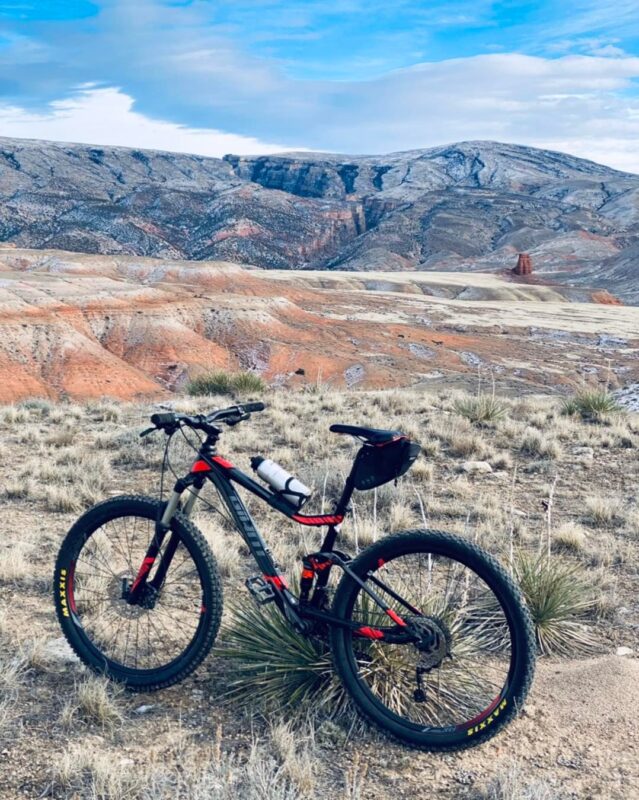
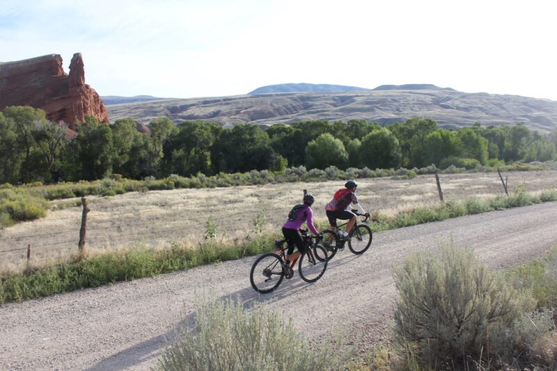
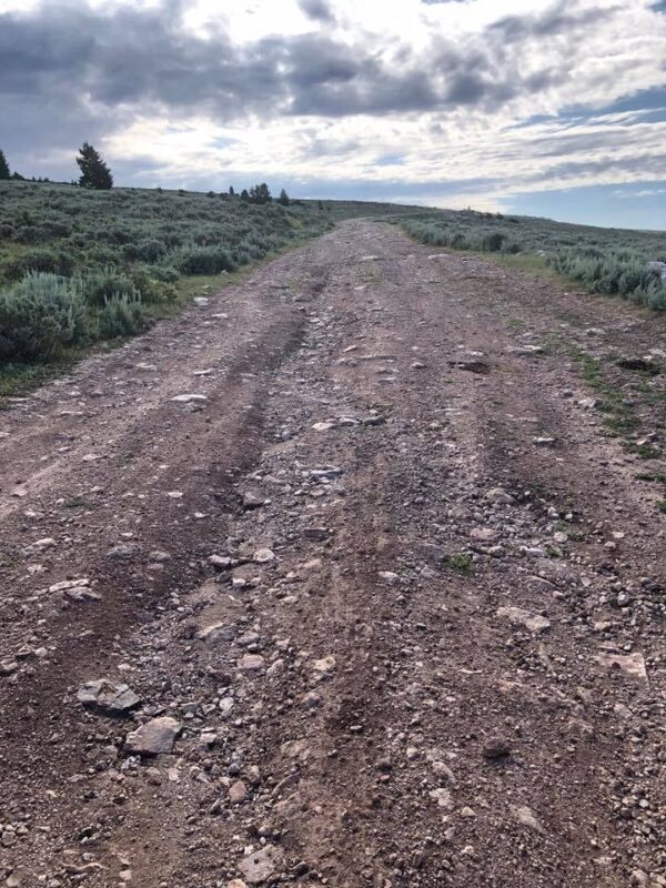
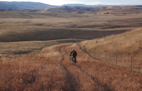
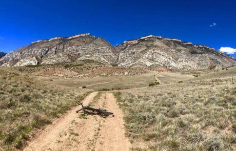
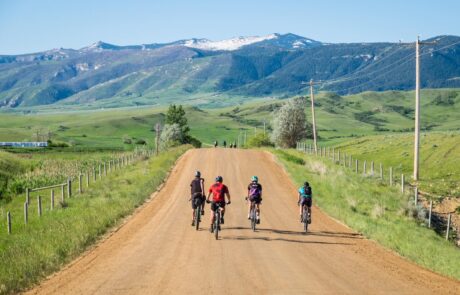
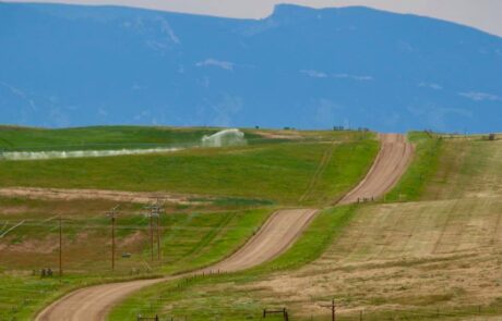
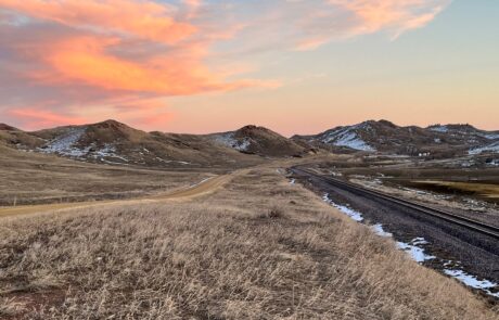
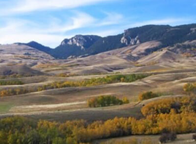
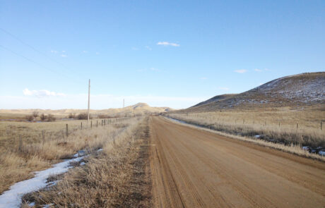
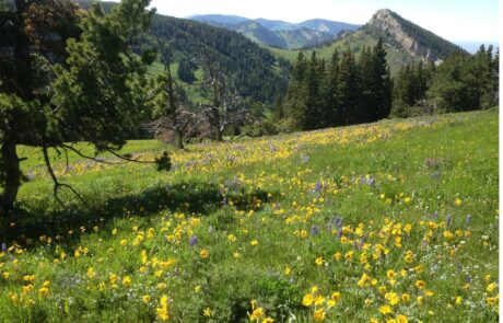
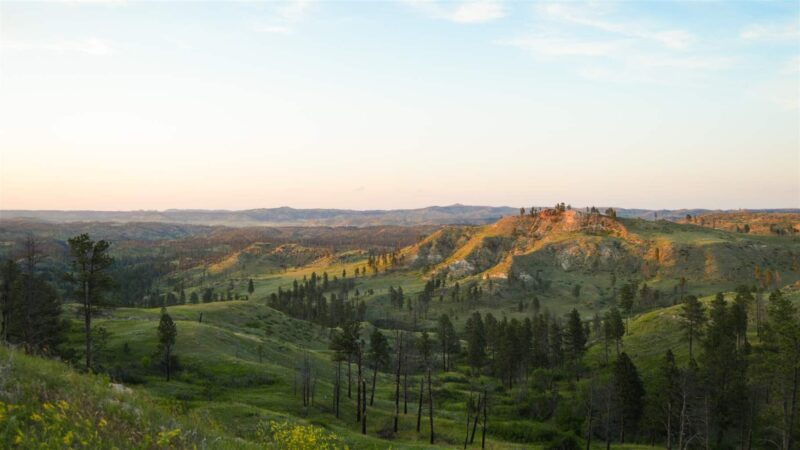
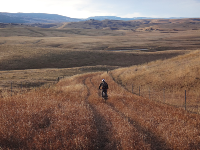
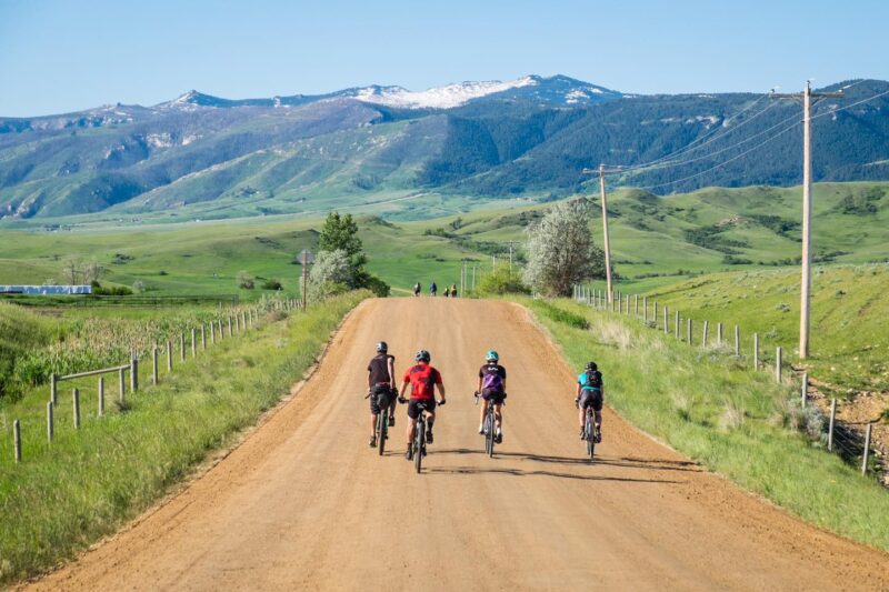
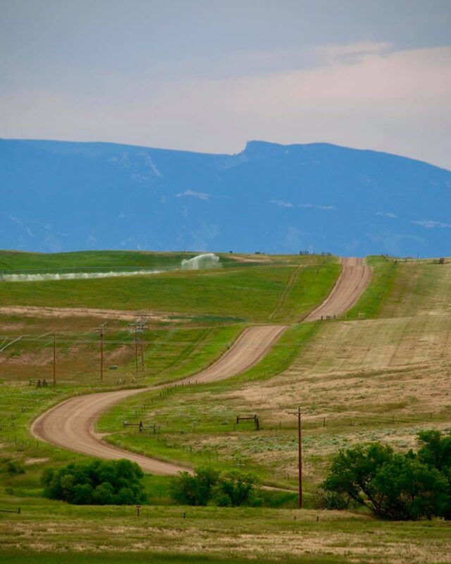
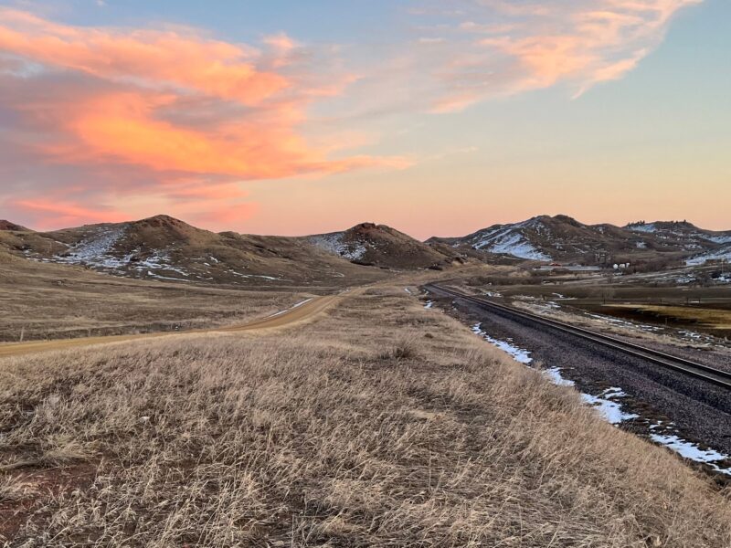
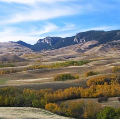
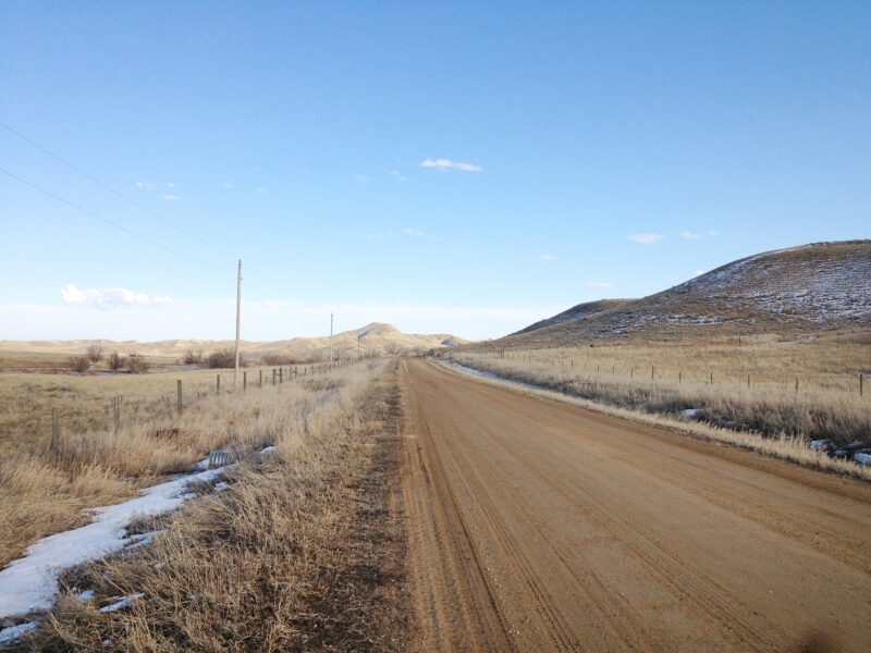
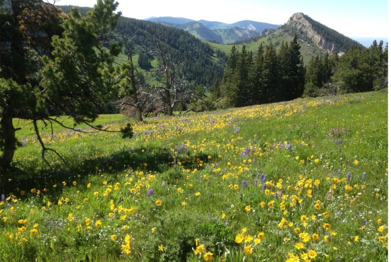
PHOTOS FROM THE SEGMENT

LOOK OUT FOR THESE HAZARDS and text re: hazards below.
SEE OTHER SEGMENTS
Passionate about recreation?
Jared would love to visit:


