- Class at average July flow: 2
- Length: 1.38 miles
- Average drop/mile: 9.42ft/mile
- Average CFS in July: ~140 CFS
- Float time at average CFS: 15 minutes
- Drive distance between launch and land: 1.8 miles
- Straight line distance between launch and land: 1.2 miles
About This Float Segment:
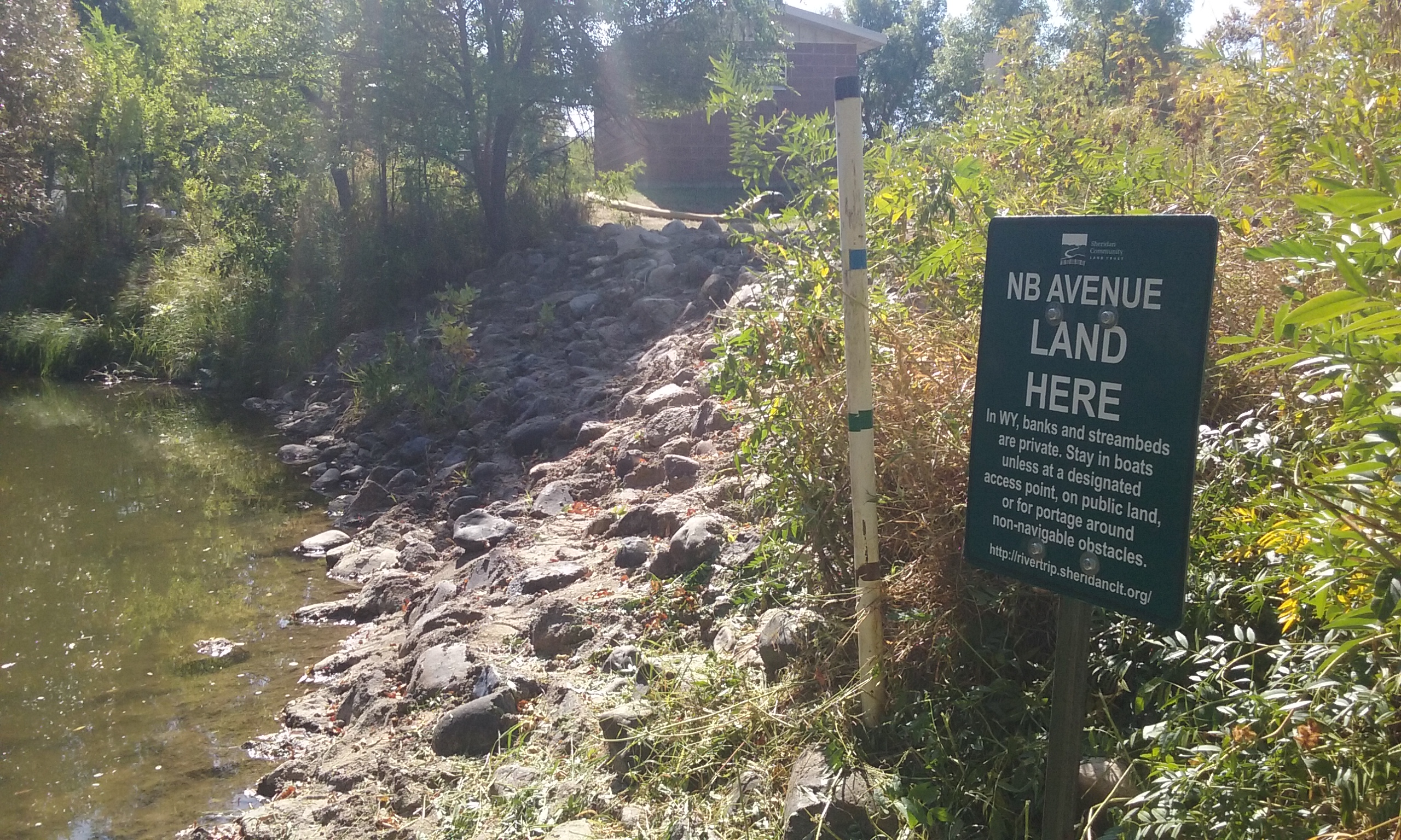
This swift section quickly leaves downtown behind and carries you under three vehicle bridges and one foot bridge. River left is dominated by trees, some of them overhanging the water and becoming strainers to be avoided. River right is flanked by the city pathway for most of this section, where you can wave to the jealous joggers who wish they were paddling. The Dana Ave landing sits nestled in an opening in the trees on river left immediately after Soldier Creek enters Big Goose Creek.
Quick and Dirty:
Known hazards: River left has many overhanging trees that create sweepers even at low flows.
Wildlife: Hawks, falcons, buzzards, ducks, geese, box turtles, and minks.
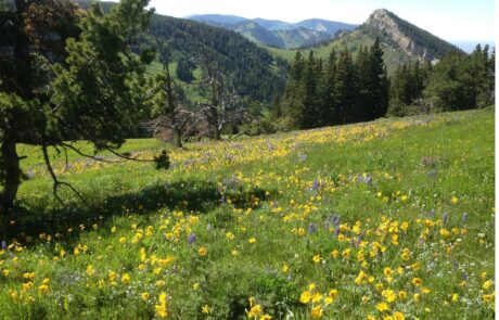
Vegetation: Cottonwood (Populus spp.), Willow (Salix spp.), Wild Bergamot (Monarda fistulosa), Showy Milkweed (Asclepias speciosa), Wild Rose (Rosa spp.), Red-osier dogwood (Cornus sericea)

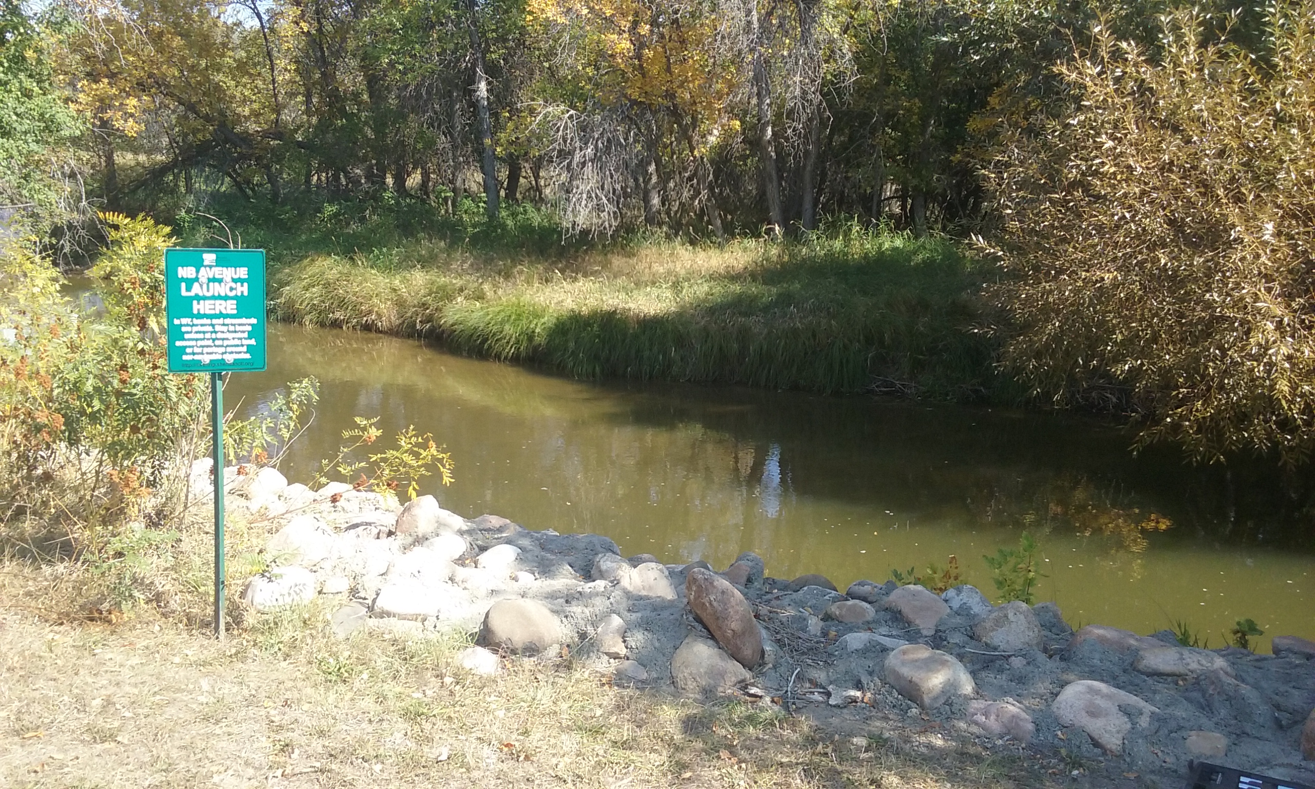
Launch
GPS Location: 44.80315, -106.95797
Side of waterway: Confluence center
Flow description at site: Fast moving outside corner, confluence, deeper
Ease of access: Difficult sloped loose gravel launch/land area, moderate slope to staging area.
Staging area: Park undergoing construction, access to parking depends on public parking availability.
Parking: Nearby public parking.
Amenities: Nearby downtown businesses, park bench.
Landing
GPS Location: 44.82039, -106.96210
Side of waterway: River left
Flow description at site: Swifter moving straight, shallow
Ease of access: Gentle slope launch/land area, gentle slope to staging area.
Staging area: Large dirt/grass area leading up to the water with direct access to parking.
Parking: Dirt lot, plenty of space.
Amenities: None
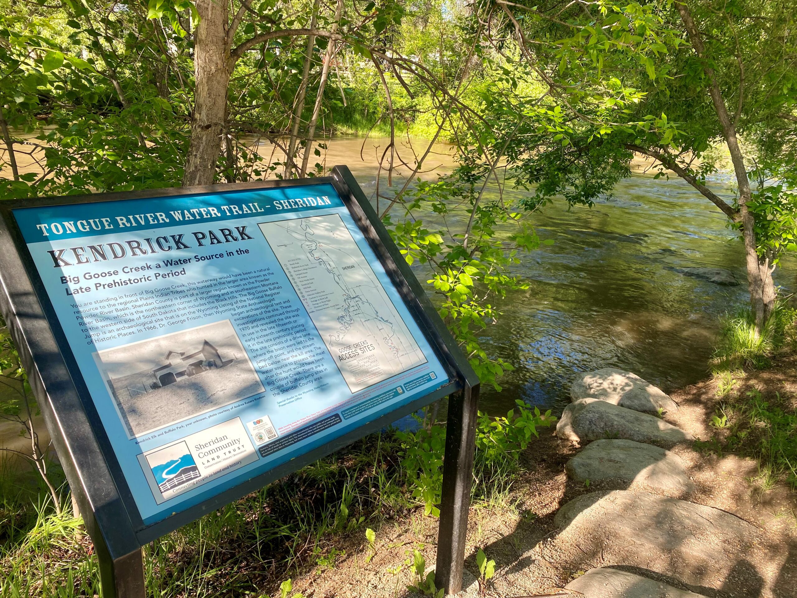
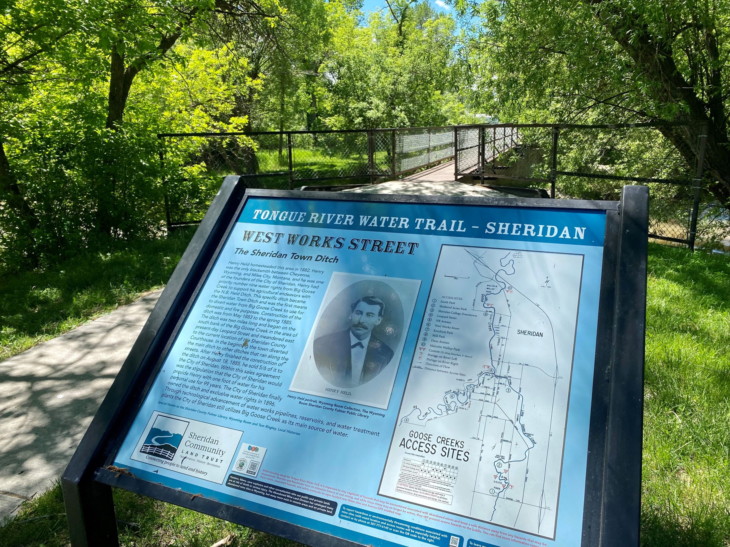
History
In the area of this interpretive sign in Mill Park once was a booming flourmill and elevator operated by the Sheridan Manufacturing Company. The mill was constructed soon after Sheridan was incorporated in 1884. The mill’s proximity to Big Goose Creek was important as the creek powered the mill. A channel from Goose Creek, known as a millrace, delivered water to the mill. The water fed a mill wheel hydropower system, which enabled the mechanical process of milling and grinded the wheat into flour. The mill produced 25 barrels of White Swan and Sifted Snow flour a day. In 1915, the wooden flourmill burned to the ground and was quickly replaced by a new flour mill constructed of brick. The Sheridan Manufacturing Company’s flourmill was a major component of the economy of north central Wyoming. It provided storage and milling of wheat harvested in southeastern Sheridan County. By 1947, the mill was no longer in operation. It was demolished in 1962 to aid in the US Army Corps of Engineers flood control project of Big Goose Creek. Big Goose Creek runs through the old millrace area and is visible if you face the opposite direction from the interpretive sign. There you see the convergence of Big Goose Creek and Little Goose Creek. The US Army Corps of Engineers rerouted Big Goose Creek to protect properties along the creek and created a channel for flood control. Pass by Deadman Gulch. Float under old bridge at Thorne-Rider. Historic 5th St. bridge.
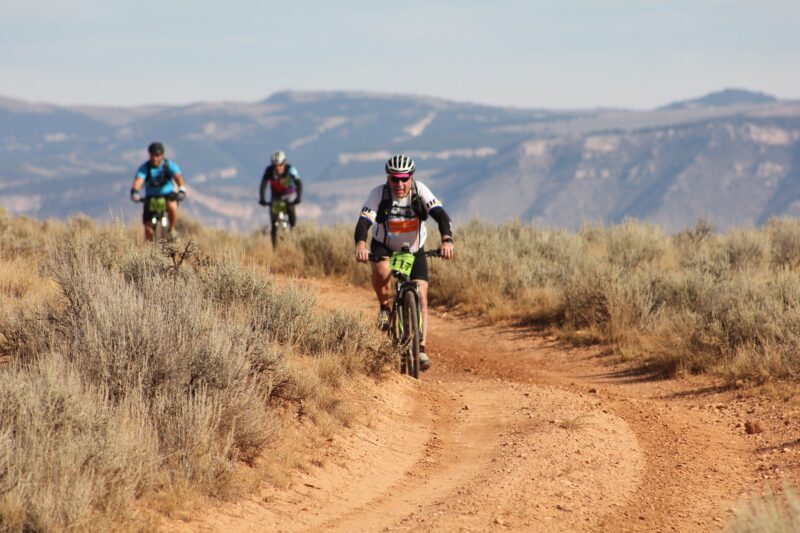
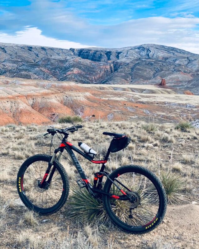
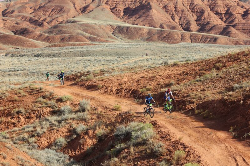
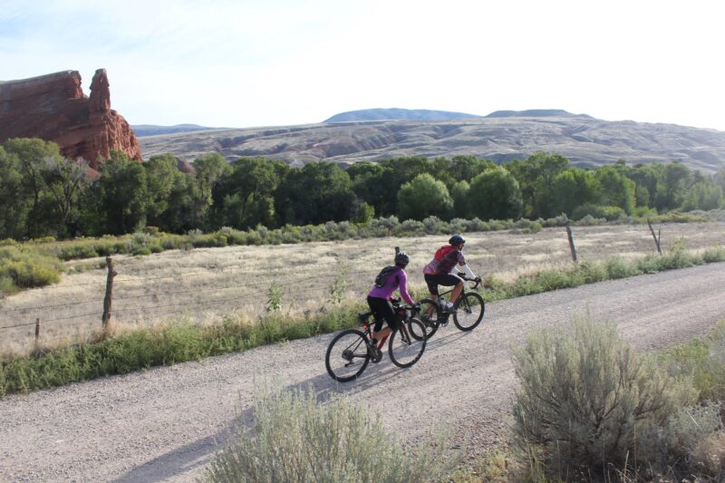
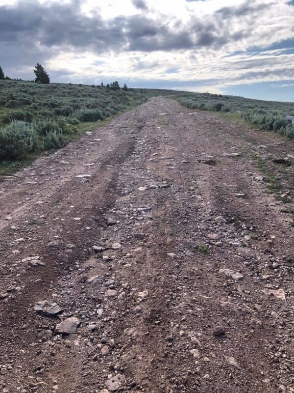
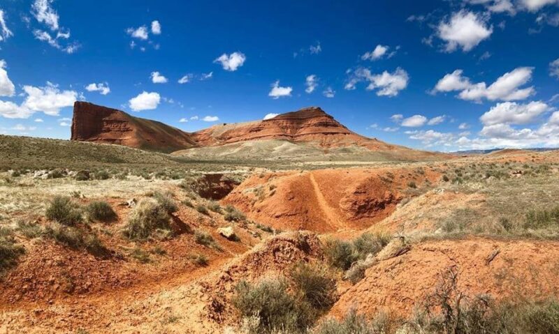
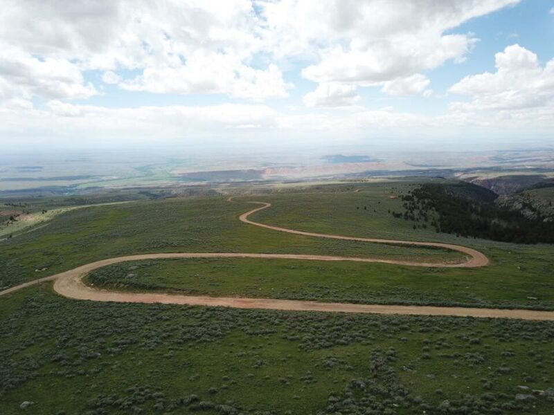
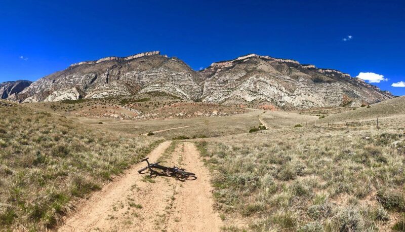
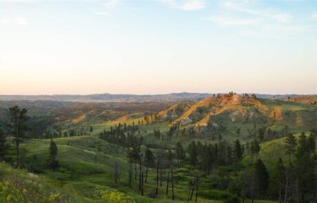
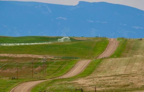
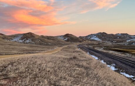
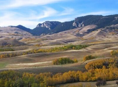
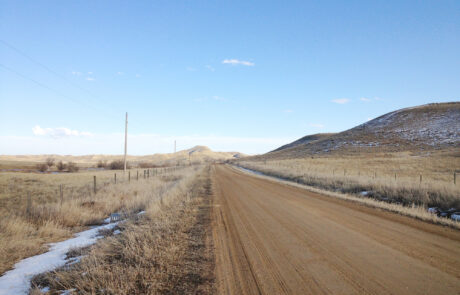
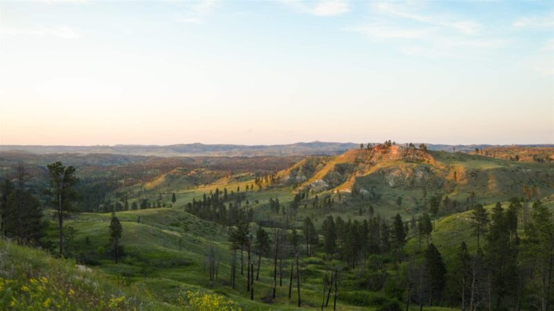
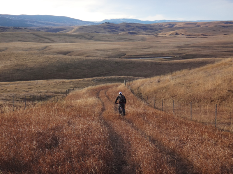
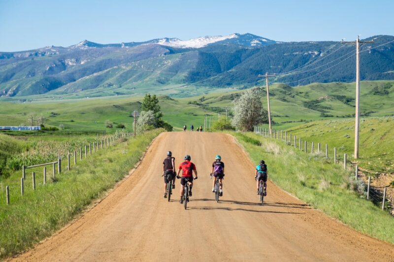
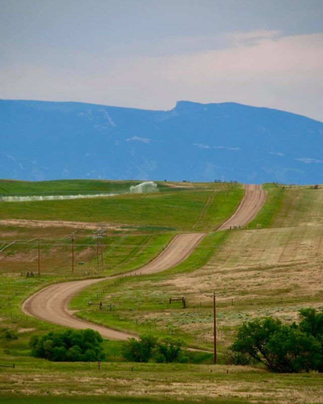
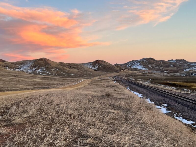
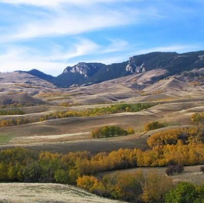
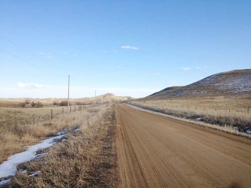
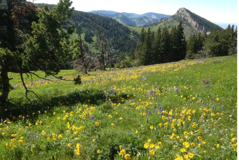
PHOTOS FROM THE SEGMENT
LOOK OUT FOR THESE HAZARDS and text re: hazards below.
SEE OTHER SEGMENTS
Passionate about recreation?
Jared would love to visit:


