
- Fun Fact: 40-mile route in the popular Dead Swede Gravel Race/Ride/Tour.
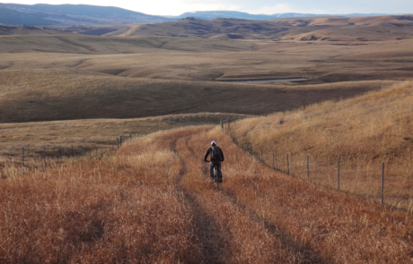
- Town and country riding with single-track options.
- 42.6 Miles. 67% Gravel, 33% Paved.
- Difficulty: Easy/Moderate. Rideable: Year-Round.
- Amenities: Beginning/ Middle/End. Cell Service: Spotty.
Route Description
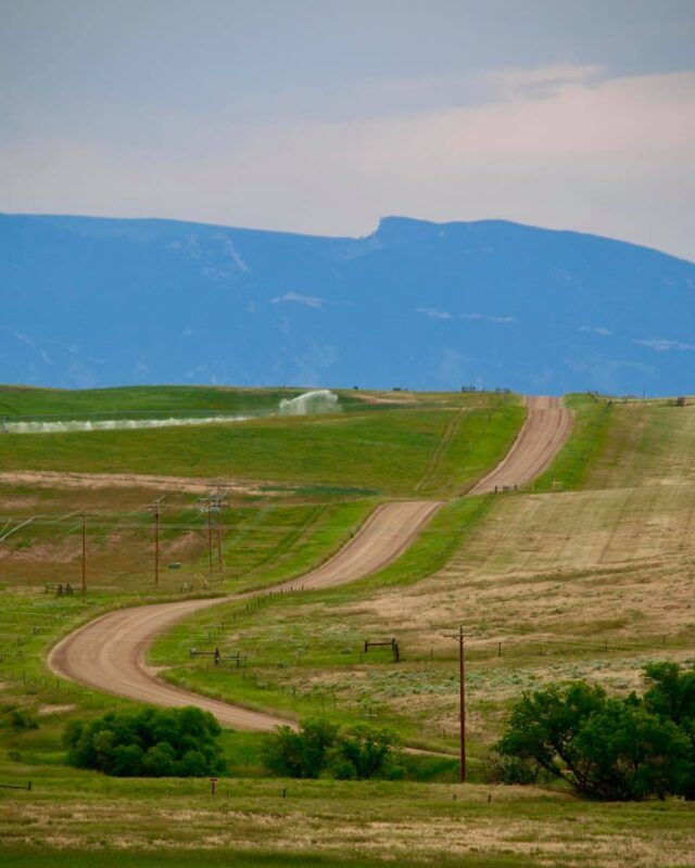
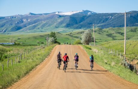
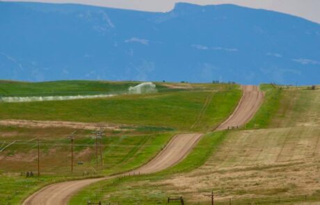
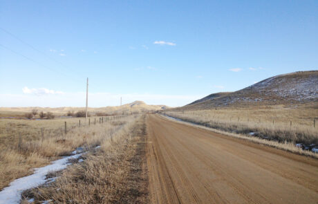
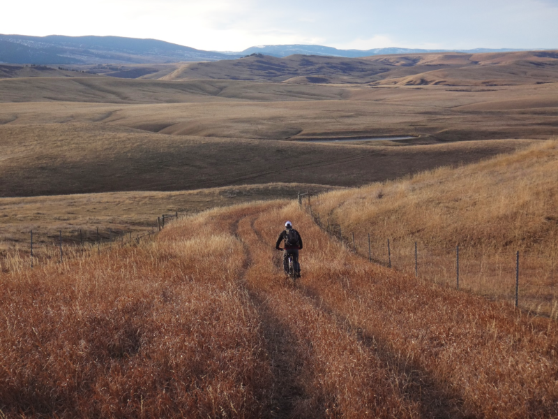
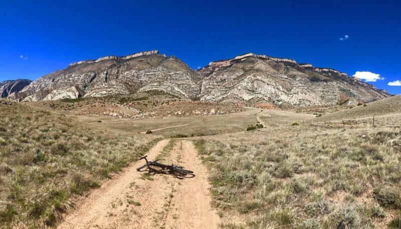
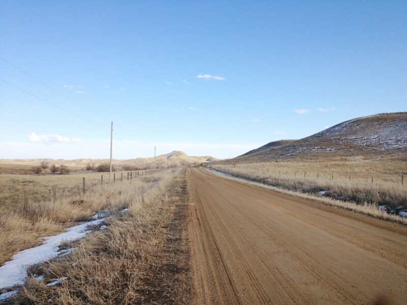
For this ride you’ll encounter rolling terrain with some punchy climbs. You’ll experience the quiet of the countryside with big sweeping views of the mountain’s flank and the land that rolls eastward from its base.
The gravel on this ride is fairly well maintained, mostly firm and fast, and falls within Category’s 1 & 2 on the ISGG, Industry Standard Guide to Gravel. No worries about traffic, once you’re out of town a ways, there will be little.
This route is the 40 Mile Cruiser route in The Dead Swede Grave Race/Ride/Tour and Trailfest held annually on the first Saturday in June. If you’re looking for a fun event to loop into your year, check it out at thedeadswede.com.
Detailed Directions
To ride this route the same as the Dead Swede race, park in Kendrick City Park. When leaving the park, turn right and head westward towards the mountain on Loucks Street which turns to Big Goose (Hwy 331) in short order.
If you choose to loop in the single-track, you’ll have two options. The first option is just 0.8 miles after leaving Kendrick Park. Note that including this single track adds 5.2 miles to the 40-mile route. To hook into it, turn right on Sparrow Hawk Rd, climb the steep hill, and weave thru the Sparrow Hawk neighborhood until a branch of the Sheridan Pathway comes up on your left just before Pheasant Draw Rd. Turn on the cement pathway. Where the cement ends and the gravel begins, go left down thru the draw, over the bridge, up again and at the end of the straightaway where the pathway swings right, you’ll see the entrance to the single-track Hidden Hoot trail. On the single-track stay to the left at each intersection you come to. You’ll ride Hidden Hoot Trail, The Link, and a connector trail (not yet built) before exiting at Kendrick Golf Course.
From the Kendrick Golf Course, ride back down to Big Goose Rd and continue on the Dead Swede route. Continuing on Big Goose you’ll go right at Beckton Road and ride it for its length. You’ll be on gravel again for nearly 12 miles, paralleling the mountain through the foothills. This part of the route gets punchy, with several large and smaller hills to conquer. At the end of the road, you’ll be in the town of Dayton where there are several establishments to refresh you.
Just 0.3 of a mile from where you entered Dayton, you’ll leave it by taking a right at the gas station onto Dayton E Rd. Once on Dayton E. you’ll be back on gravel for most of the rest of the ride. When you reach the tee at Wolf Creek Rd, go right. You’ll ride Wolf Creek until you tee Soldier Creek Rd. Soldier Creek is the last long stretch of gravel into Sheridan. This segment culminates in a heck of a hill which dumps you out onto the pavement of 5th street. From 5th Street you’ll go right at Highland, left on Lewis then turn at Junior High School’s parking lot hooking the City Pathway down to Kendrick Park and your vehicle.
If you still have steam under your hood when you hit the pavement at 5th Street, you’ll have a second option to ride single-track here. Note that including this single track adds 7.4 miles to the 40-mile route. Just before the start of the pavement on 5th Street take a right and proceed to the Soldier Ridge Trailhead. Entering thru the gate you’ll ride the Soldier Ridge Trail until taking a left onto the Kicking Horse Trail. At the next junction you’ll go right onto a connector trail (not yet built) which deposits you at Kendrick Golf Course (a great place for refreshments). From the golf course, ride down to Big Goose Rd and continue back to your car at Kendrick Park.
If taking the Sheridan Pathways thru town, stay on Loucks Street thru downtown and hook the pathway on the east side of River Street. This will add ~2.4 miles to the overall ride.
Quick and Dirty
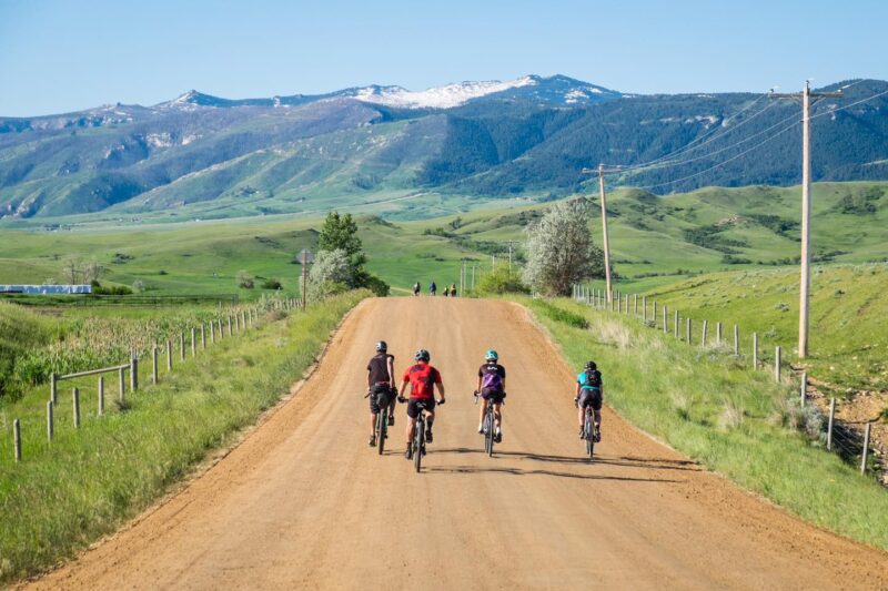
This ride traverses the countryside just beyond the foothills and delivers sweeping views of the mountain’s flank. You’ll encounter rolling terrain with some punchy climbs. It’s 67% gravel and 33% paved, easy in difficulty, on firm and fast gravel, with opportunities to loop in several miles of single-track riding along the way. Traffic is minimal when out of town.
Click Here for GPX file of the route
Click below for an expandable map.
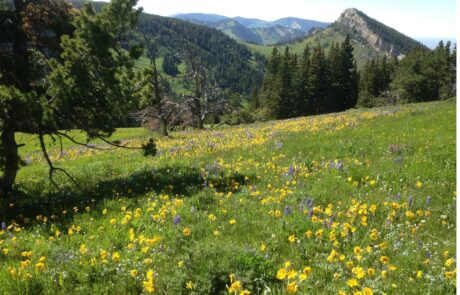
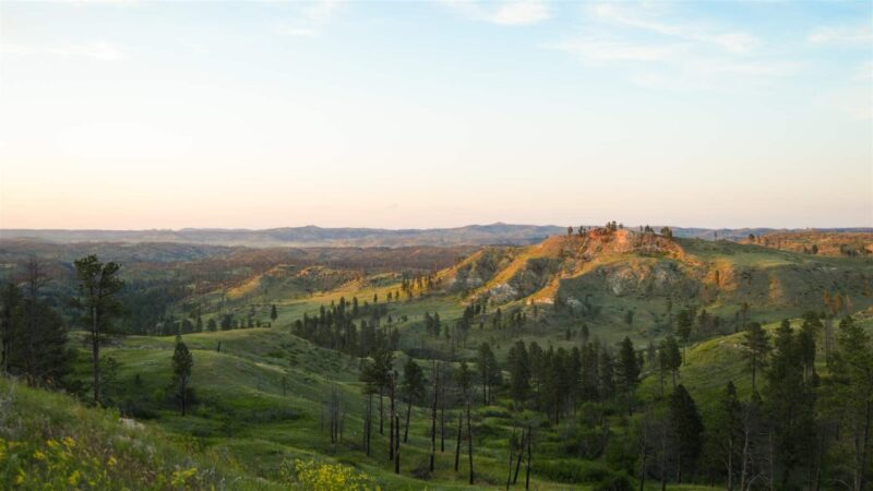
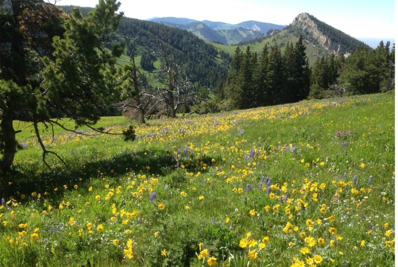
PHOTOS FROM THE ROUTE
SEE OTHER ROUTES
Questions?
Contact Us Today:


