
- Class at average July flow: 2
- Length: 0.96 miles
- Average drop/mile: 9.37ft/mile
- Average CFS in July: ~140 CFS
- Float time at average CFS: 15 minutes
- Drive distance between launch and land: 1.1 miles
- Straight line distance between launch and land: 0.35 miles
About This Float Segment:
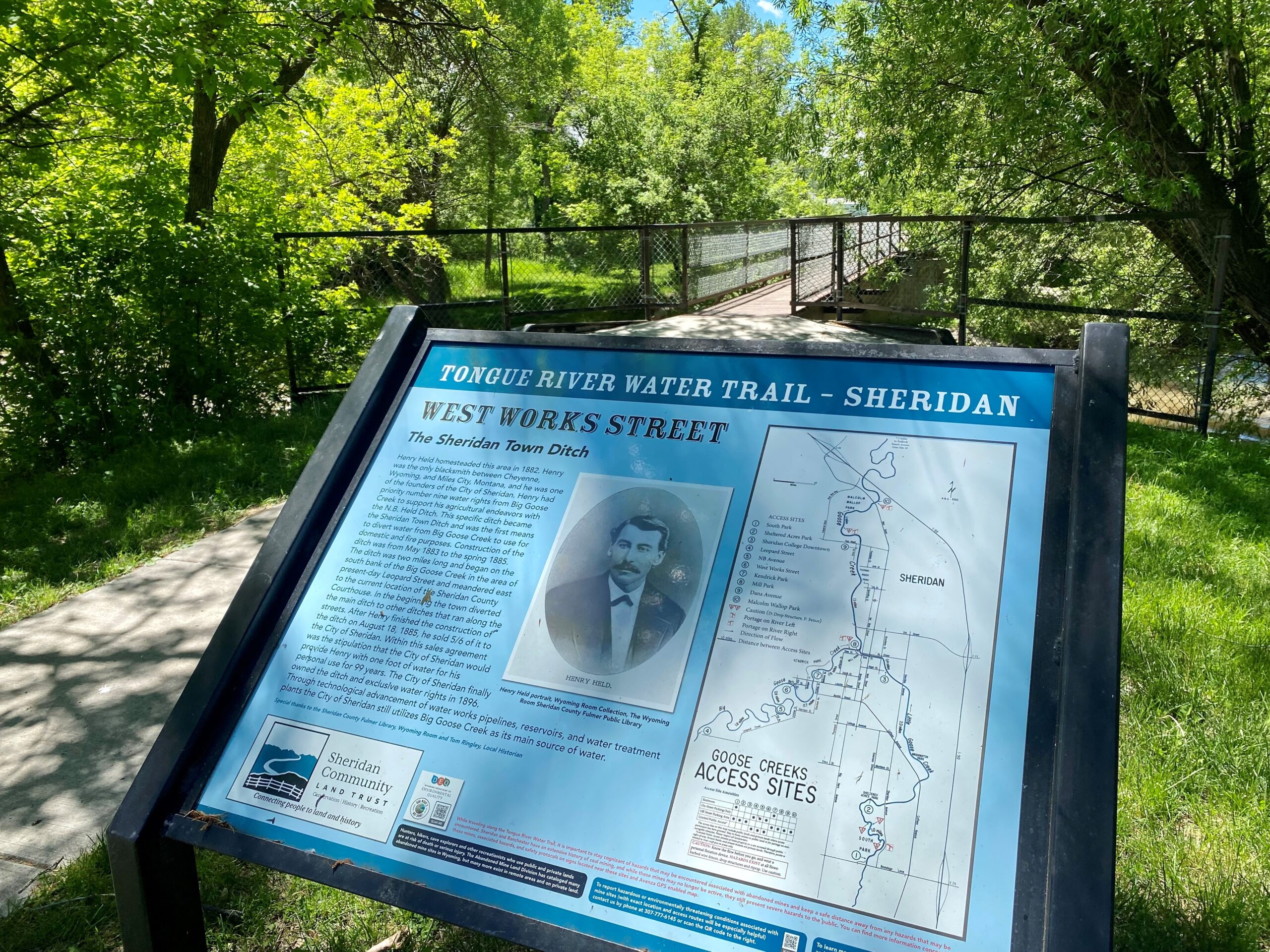
This section, much like upstream, is closed in on the sides with vegetation and overhanging trees. As the waters rise, the tree branches become strainers and during high water, this section is impassable. You will float under one foot bridge as you arrive at the W. Works St. landing on river left.
Quick and Dirty:
Known hazards: Overhanging trees and tight bends make sweepers and strainers common.
Wildlife: Hawks, falcons, buzzards, ducks, geese, box turtles, and minks.
Vegetation: Cottonwood (Populus spp.), Willow (Salix spp.), Wild Bergamot (Monarda fistulosa), Showy Milkweed (Asclepias speciosa), Wild Rose (Rosa spp.), Red-osier dogwood (Cornus sericea)

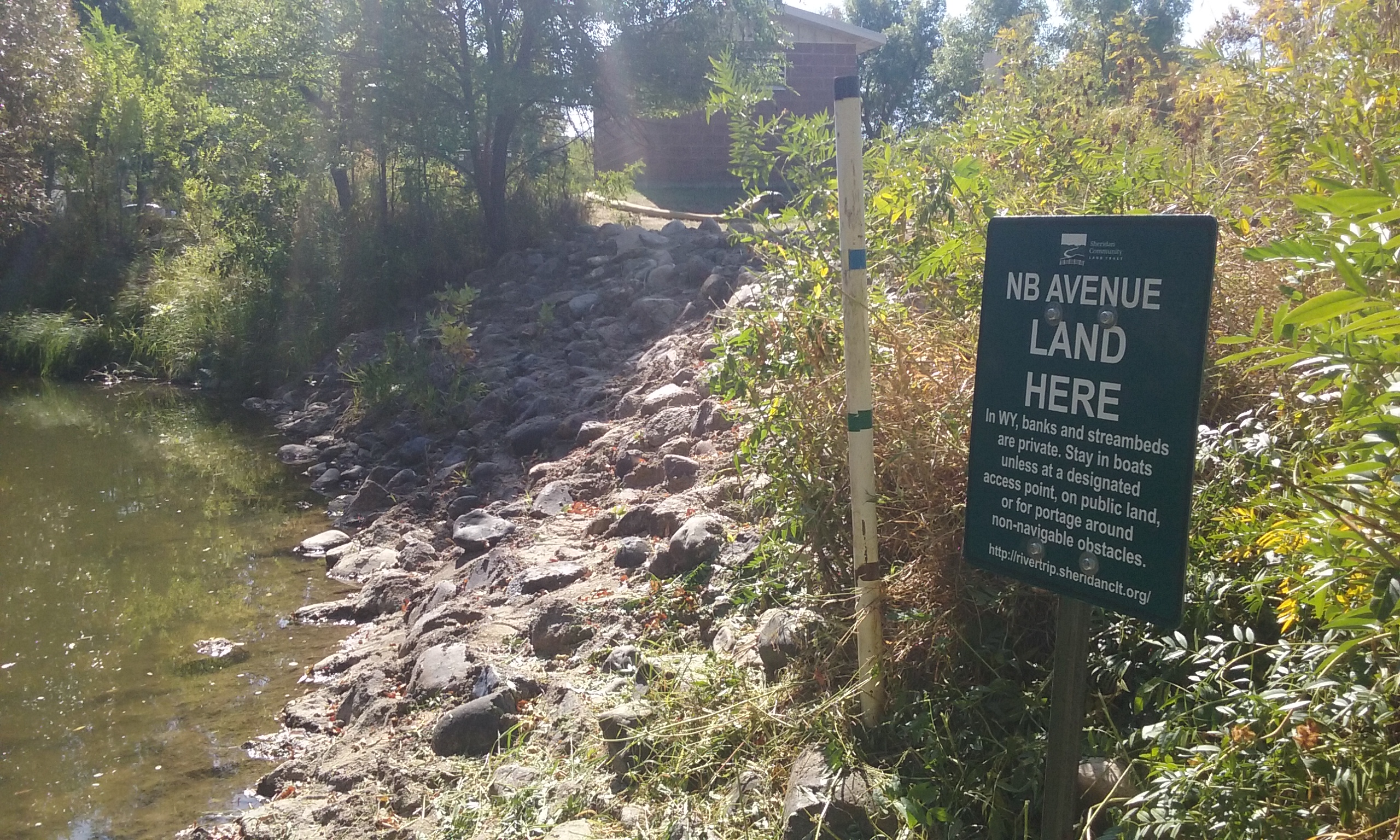
Launch
GPS Location: 44.79123, -106.97223
Side of waterway: River right
Flow description at site: Slower moving outside corner, deeper
Ease of access: Moderate slope concreted large stone launch/land area, moderate slope to staging area
Staging area: Large grassy area next to pump station building about 20ft from the water, parking separate
Parking: Very minimal, on shoulder of Leopard St, not on NB Ave
Amenities: None
Landing
GPS Location: 44.79639, -106.96988
Side of waterway: River left
Flow description at site: Swift moving outside corner, shallow
Ease of access: Gentle slope launch/land area, little to no space during high water, moderate slope to staging area
Staging area: Large grassy area next to the sidewalk about 80ft from the water with direct access to parking
Parking: On street, W. Works St., usually not full
Amenities: None
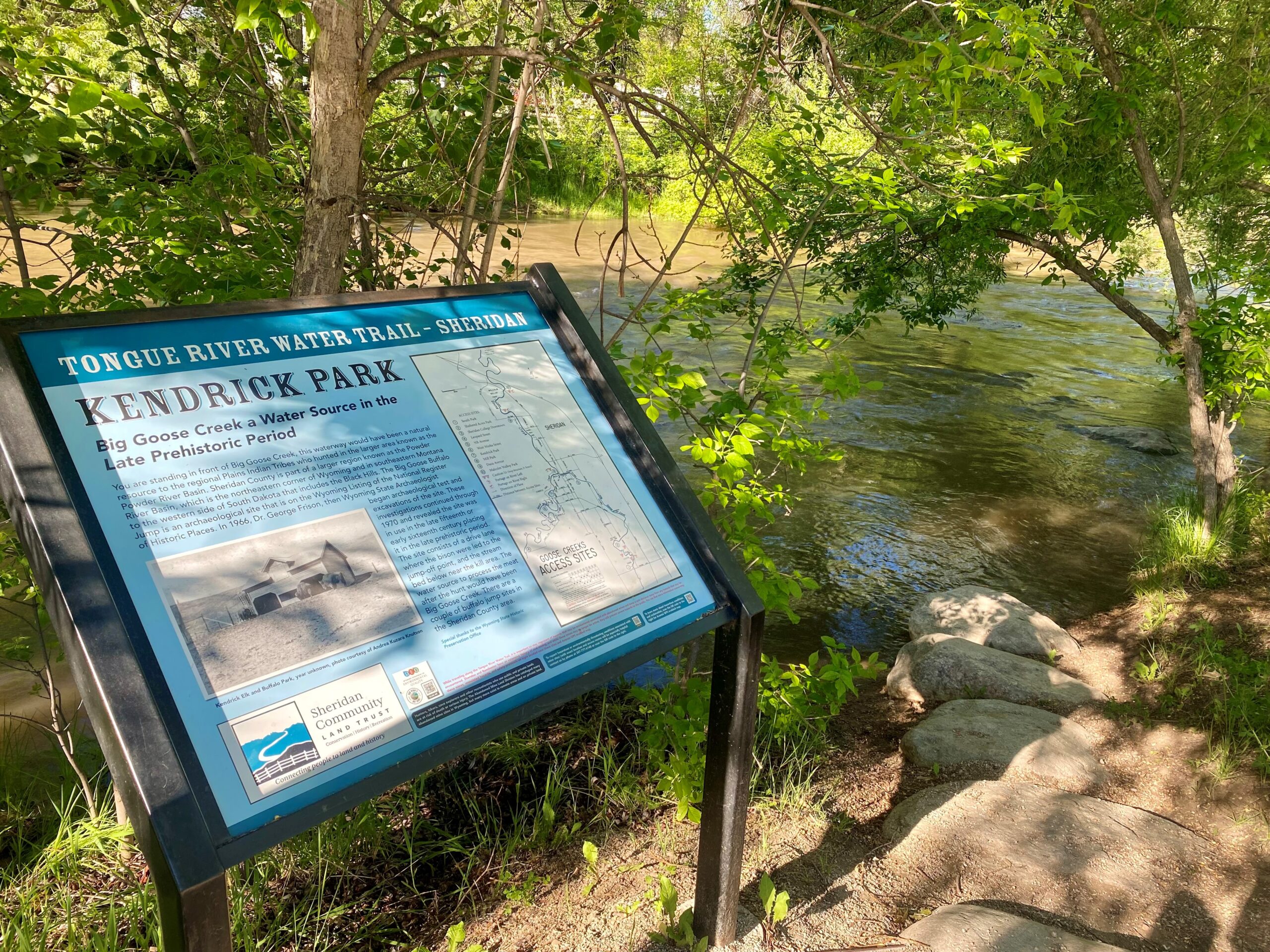
History
This land is now the City of Sheridan, but this area has had many inhabitants. The Crow Tribe would have inhabited this area during the fur trade time-period and before. The Crow Tribe placename for Goose Creek is Áashkuale meaning Middle River. The Middle River flows from Cloud Peak area in the Bighorn Mountains. This area is the center of Crow Country and a sacred spiritual place. In the 1830s, Crow Tribe Chief Eelapuash, also known as Sore Belly, a River Crow leader, described Crow Country, which is the Bighorn Mountains Region and surrounding area, to Mr. Robert Campbell of the Rocky Mountain Fur Company. He described the landscapes of the surrounding areas around Crow Country and how the other tribes lived there. He continues to tell why Crow Country is exactly in the right place describing the creatures and bountiful varied landscapes. He ends his descriptions of the Bighorn Mountains area with “The Crow Country is exactly in the right place. Everything that is good is to be found there. There is no country like Crow Country.”
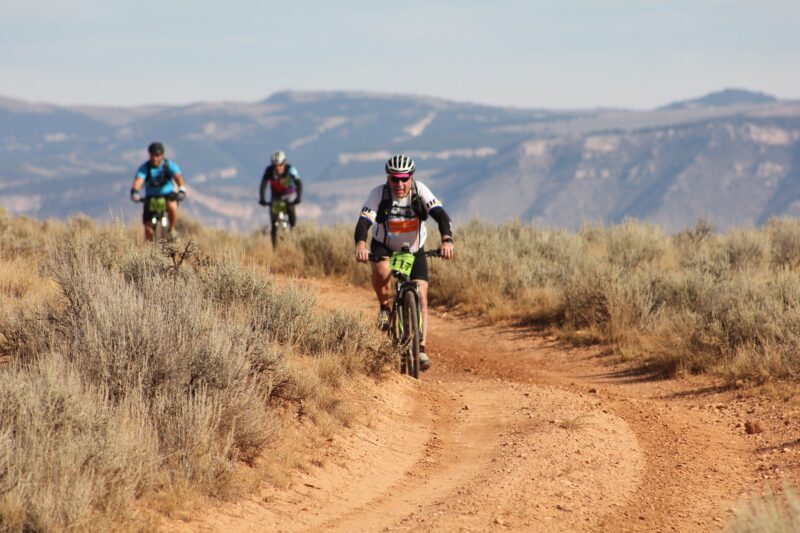
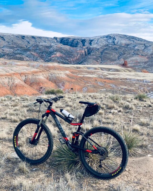
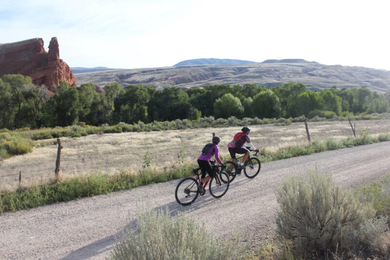
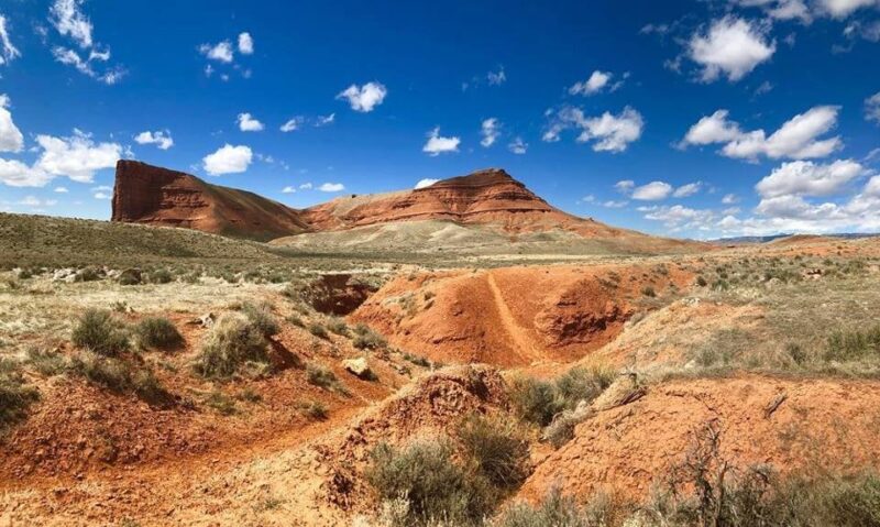
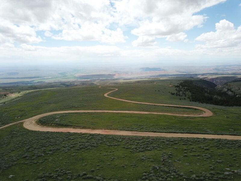
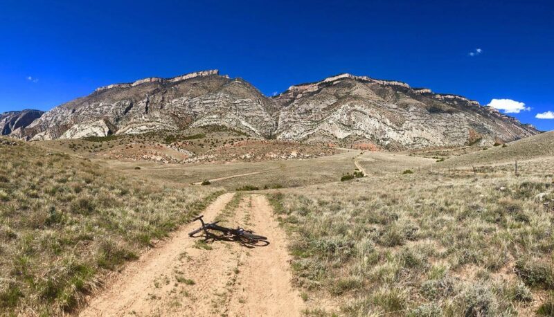
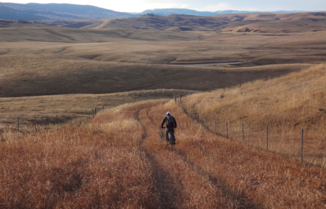
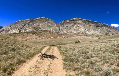
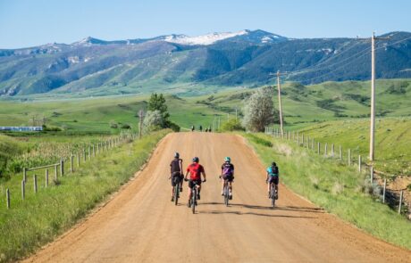
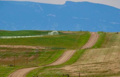
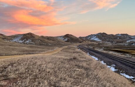
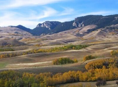
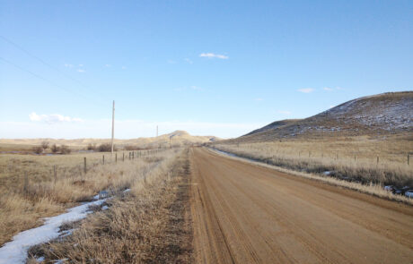
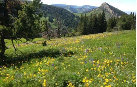
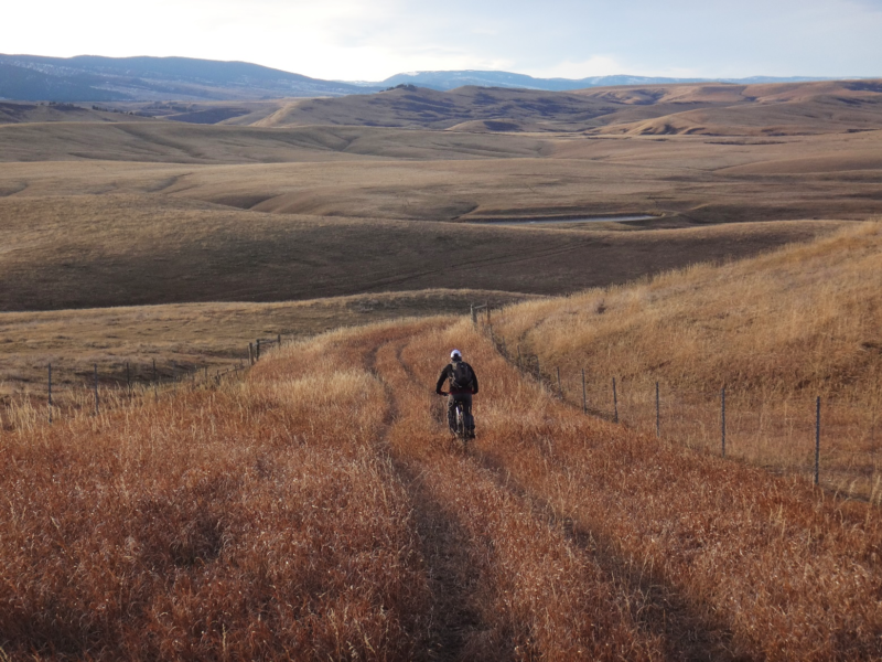
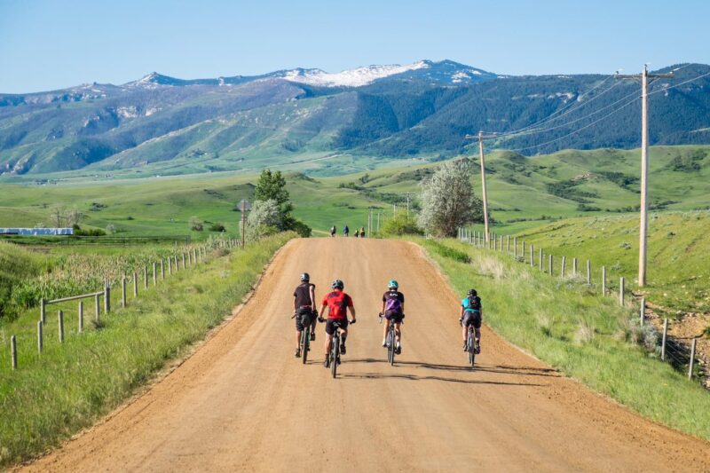
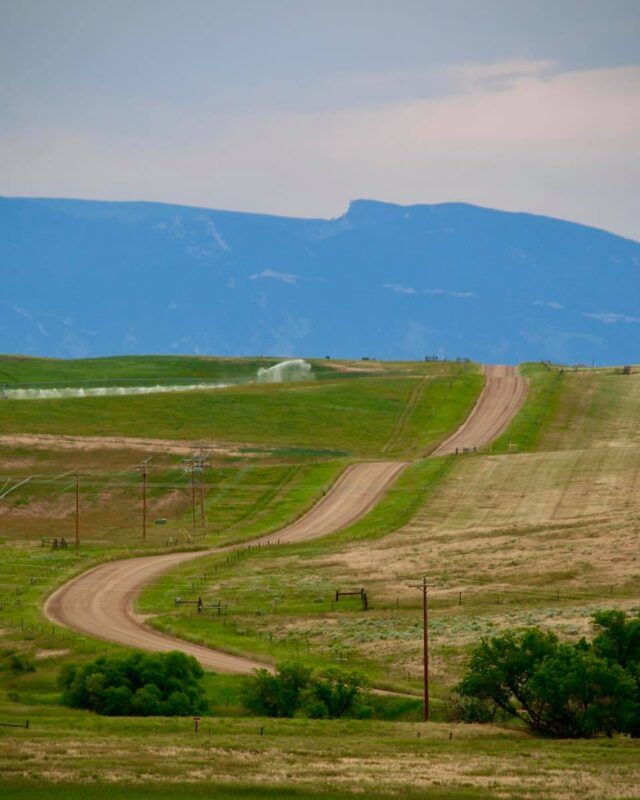
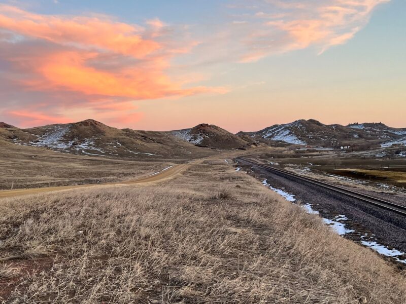
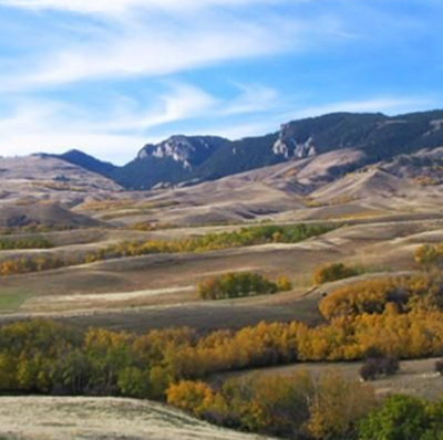
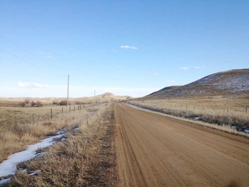
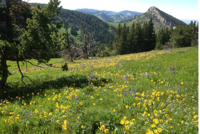
PHOTOS FROM THE SEGMENT

LOOK OUT FOR THESE HAZARDS and text re: hazards below.
SEE OTHER SEGMENTS
Passionate about recreation?
Jared would love to visit:


