
- Class at average July flow: 2
- Length: 0.72 miles
- Average drop/mile: 9.72ft/mile
- Average CFS in July: ~140 CFS
- Float time at average CFS: 10 minutes
- Drive distance between launch and land: 0.4 miles
- Straight line distance between launch and land: 0.34 miles
About This Float Segment:
This short section continues the trend of overhanging branches and dense vegetation as you wind your way into Kendrick Park. As the waters rise, the tree branches become strainers and during high water, this section is impassable. You will float under one foot bridge and then under one vehicle bridge, on W. Loucks St, before you find yourself arriving at the Kendrick Park landing on river left, right next to the ice cream stand.
Quick and Dirty:
Known hazards: Overhanging trees and tight bends make sweepers and strainers common.
Wildlife: Hawks, falcons, buzzards, ducks, geese, box turtles, and minks.
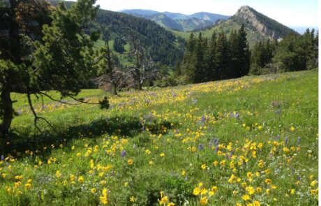
Vegetation: Cottonwood (Populus spp.), Willow (Salix spp.), Wild Bergamot (Monarda fistulosa), Showy Milkweed (Asclepias speciosa), Wild Rose (Rosa spp.), Red-osier dogwood (Cornus sericea)

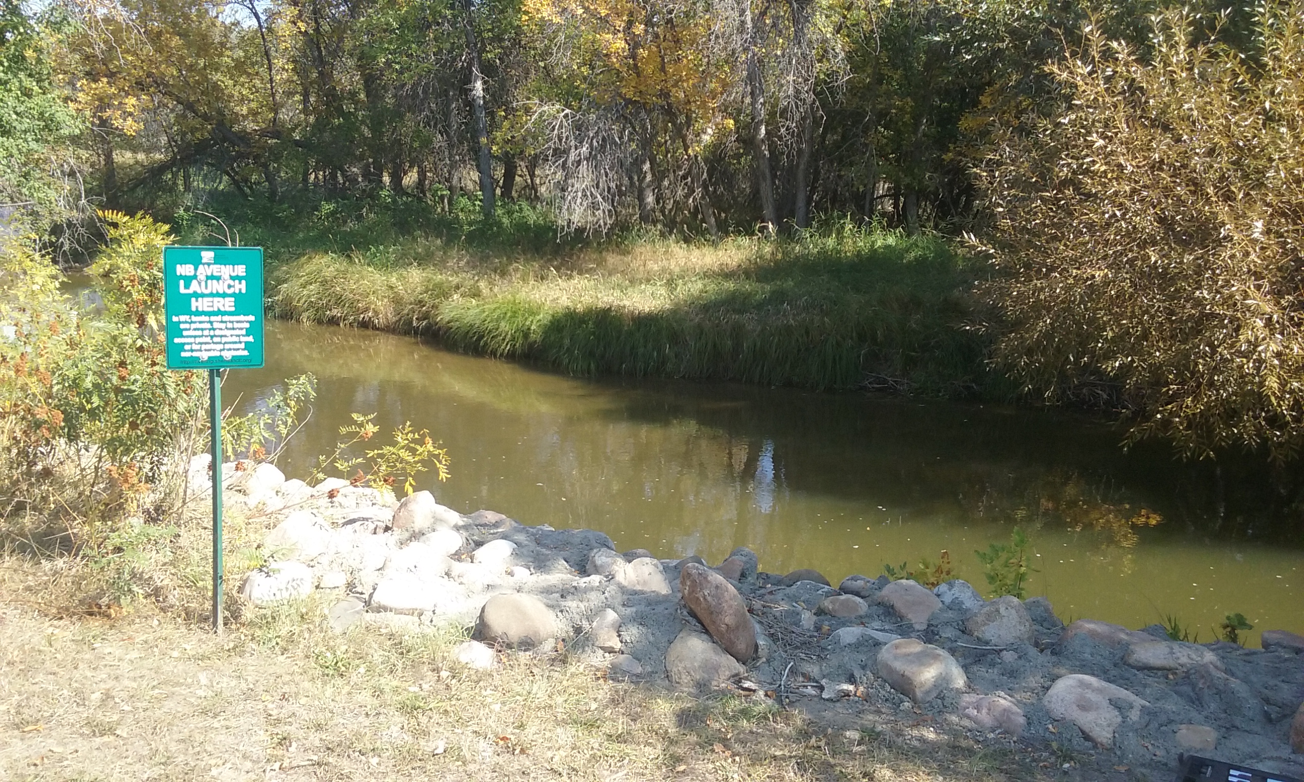
Launch
GPS Location: 44.79639, -106.96988
Side of waterway: River left
Flow description at site: Swift moving outside corner, shallow.
Ease of access: Gentle slope launch/land area, less to no space during high water, moderate slope to staging area.
Staging area: Large grassy area next to the sidewalk about 80ft from the water with direct access to parking.
Parking: On street, W. Works St., usually not full.
Amenities: None
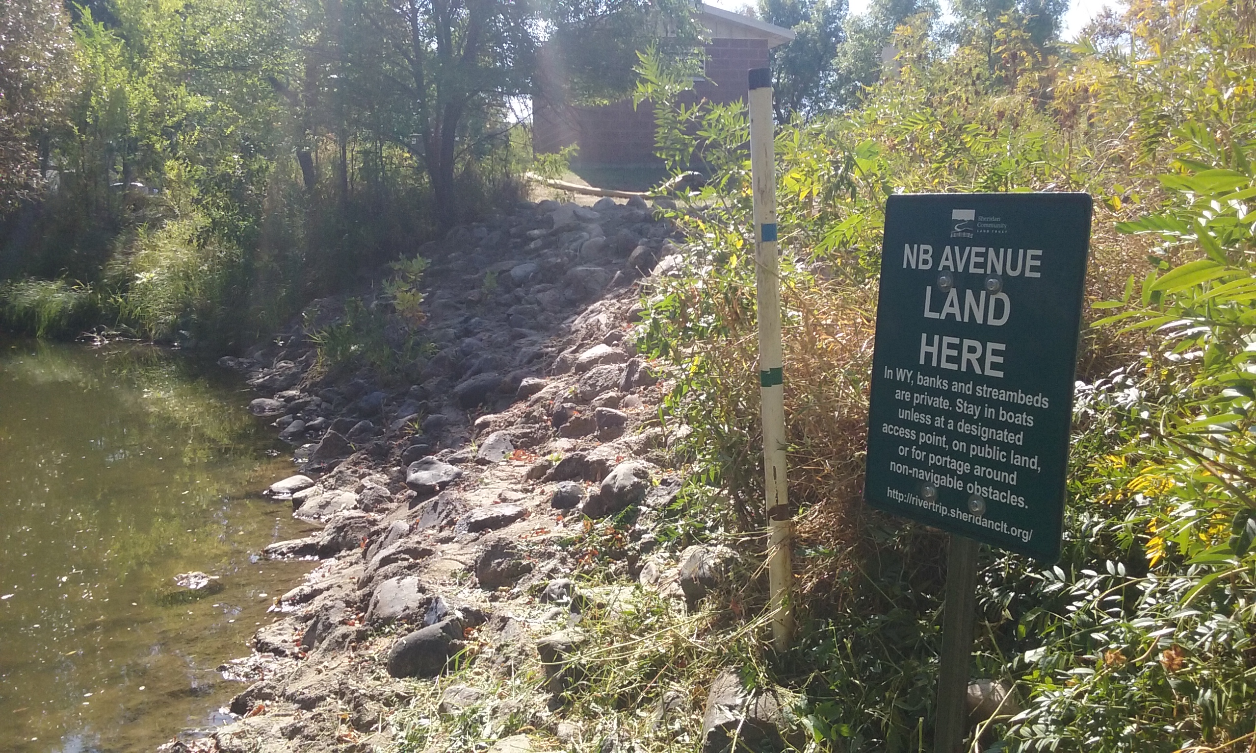
Landing
GPS Location: 44.79951, -106.96461
Side of waterway: River left
Flow description at site: Slower moving outside corner, deeper.
Ease of access: Gentle slope gravel and rock structures, moderate slope to staging area.
Staging area: Large asphalt area about 15ft from the water, access to parking depends on public parking availability.
Parking: Public parking in park, can be full depending on events.
Amenities: Bathroom with running water, playground, picnic shelters, ice cream stand.
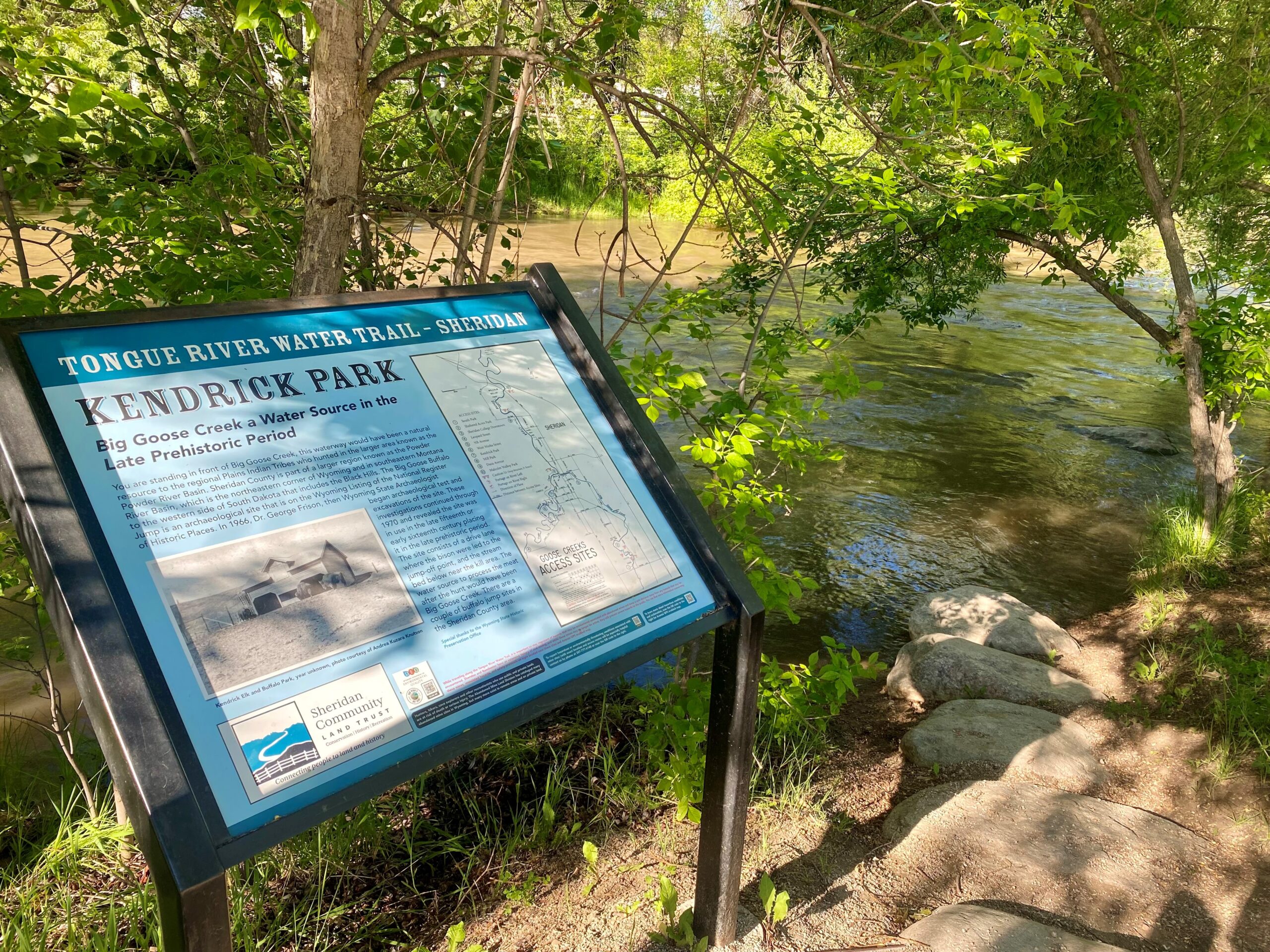
History
Henry Held homesteaded this area in 1882. Henry was the only blacksmith between Cheyenne, Wyoming, and Miles City, Montana, and he was one of the founders of the City of Sheridan. Henry had priority number nine water rights from Big Goose Creek to support his agricultural endeavors with the N.B. Held Ditch. This specific ditch became the Sheridan Town Ditch and was the first means to divert water from Big Goose Creek to use for domestic and fire purposes. Construction of the ditch was from May 1883 until the spring of 1885. The ditch was two miles long and began on the south bank of the Big Goose Creek in the area of present-day Leopard Street and meandered east to the current location of the Sheridan County Courthouse. In the beginning, the town diverted the main ditch to other ditches that ran along the streets. After Henry finished the construction of the ditch on August 18, 1885, he sold 5/6 of it to the City of Sheridan. Within this sales agreement was the stipulation that the City of Sheridan would provide Henry with one foot of water for his personal use for 99 years. The City of Sheridan finally owned the ditch and exclusive water rights in 1896. Through technological advancement of water works pipelines, reservoirs, and water treatment plants the City of Sheridan still utilizes Big Goose Creek as its main source of water. You float under historic W. Loucks St.
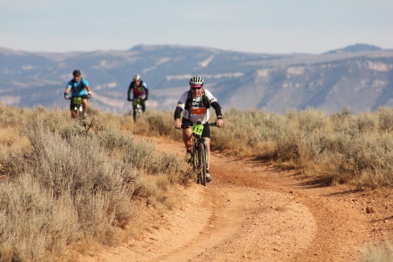
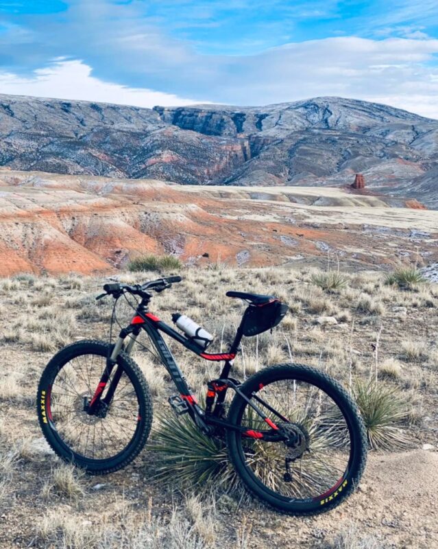
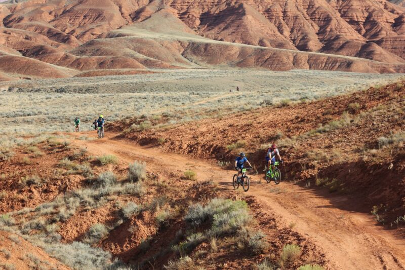
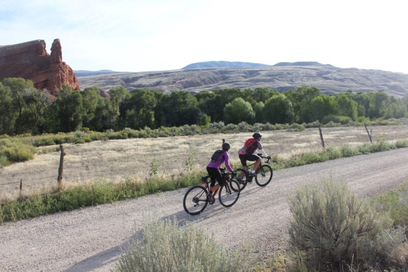
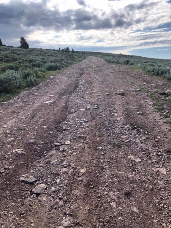
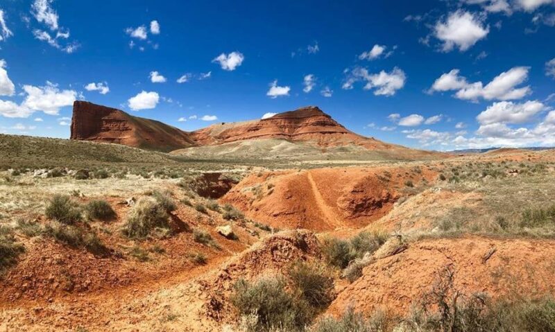
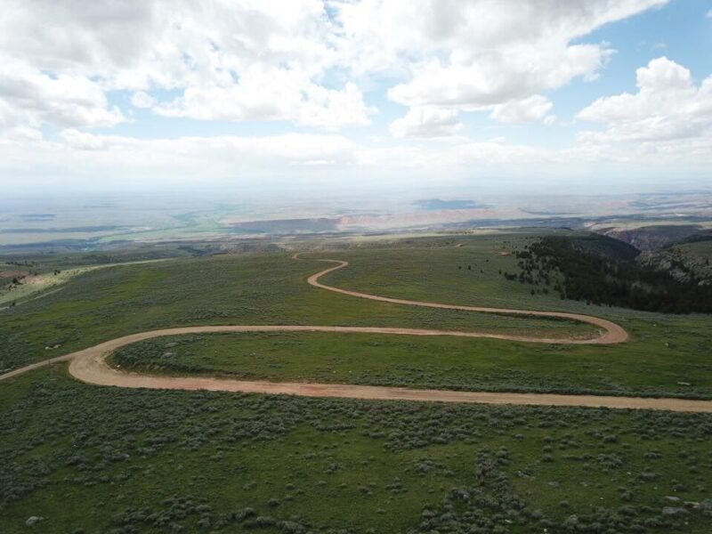
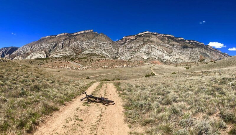
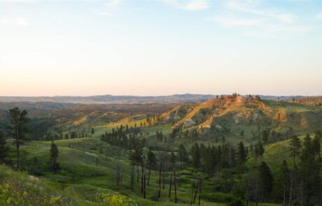
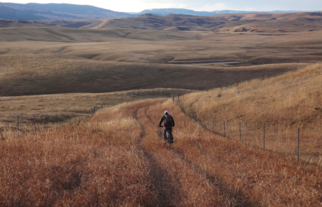
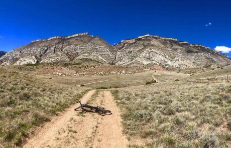
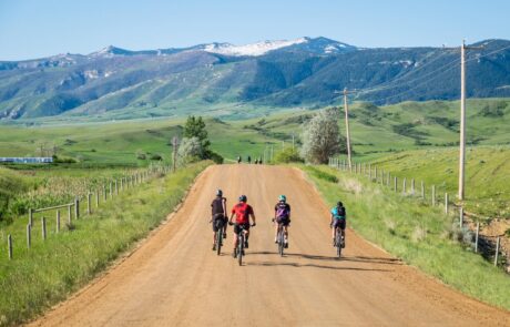
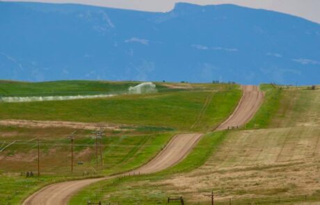
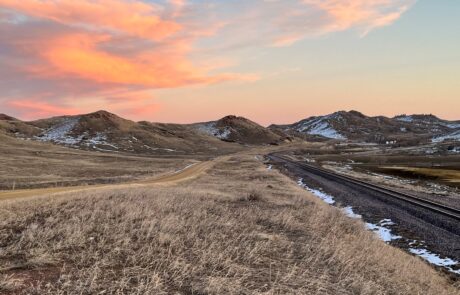
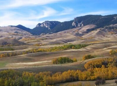
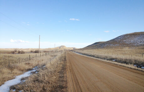
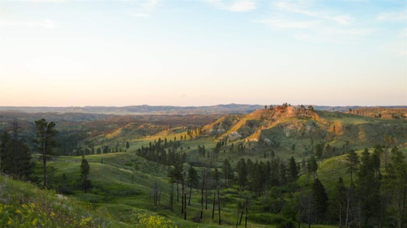
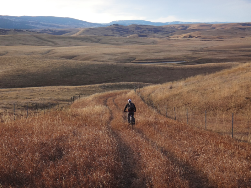
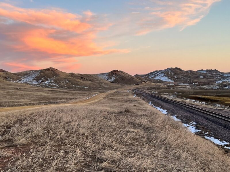
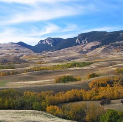
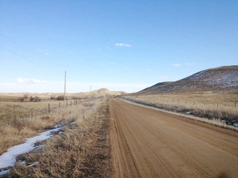
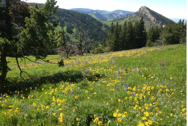
PHOTOS FROM THE SEGMENT
LOOK OUT FOR THESE HAZARDS and text re: hazards below.
SEE OTHER SEGMENTS
Passionate about recreation?
Jared would love to visit:


