History of Red Grade Road
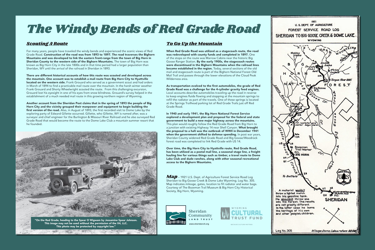
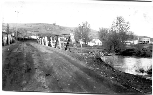
This sign tells stories about how Red Grade Road and the area around has evolved alongside changes in transportation up and down the mountain.
This sign is located on Red Grade Trails. The quickest access is from Base Trailhead parking lot. You can find this sign just above the parking lot where Tinker Trail Loop enters/exits near Red Grade Road.
You can also view this sign at the Sheridan Travel & Tourism Visitors Center.
Plains Indian Tribes Culture & History

This sign tells stories about the culture of Plains Indian Tribes and how those tribes utilized the Bighorns and the land that surrounds the mountains.
This sign is located on Red Grade Trails. The quickest access is from Base Trailhead parking lot. You can find this sign about 100 yards inside entrance of Prairie Loop just beyond the sign-in box.
You can also view this sign at the Sheridan Travel & Tourism Visitors Center.
Bighorn Mountains Panoramic Sign
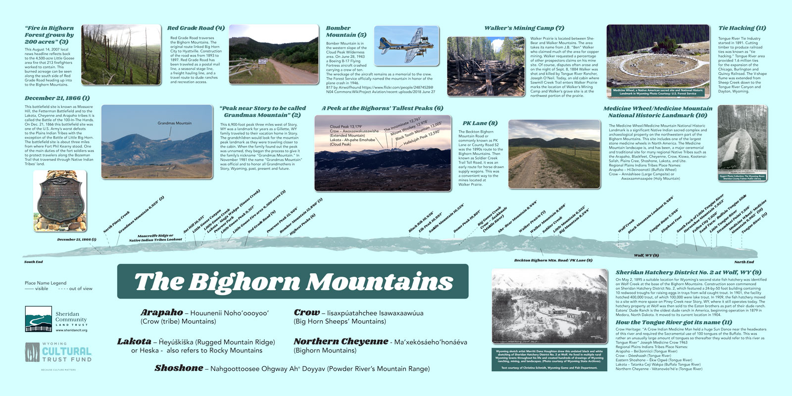
This sign depicts the Bighorn Mountains as seen from the Soldier Ridge Trail System. You’ll be able to identify many of the peaks, learn Plains Indian Tribes placenames, as well as learn stories and locations of many events that have happened in our mountains over time.
This sign is located on the The Link Trail, part of the Soldier Ridge Trail System. You can find it just beyond the point where The Link Trail connects to Hidden Hoot Trail at the top of Hoot Loop. You can also access the sign from Kendrick Golf Course.
You can also view this sign at the Sheridan Travel & Tourism Visitors Center, the Wyoming Room at the Sheridan County Fulmer Library and in the Multicultural Center at Sheridan College.
Here is a short video that shows how SCLT Historical Program Manager Carrie Edinger made edits to the trailside interpretive signs.
Thank You To Our Partners Who Have Helped Fund Our History Program
Questions? Or to schedule a tour.
Contact Us Today:


