 Click to download the Red Grade Trails Map
Click to download Scoping Notice
Click to download Summary of Project
Purpose and need for action: The Forest Service, through the acceptance of the proposal from SCLT and Sheridan County, has identified a need to provide non-motorized recreation opportunities and public access to the NFS lands that is separated from the motorized uses and vehicle traffic on the Red Grade Road. The purpose of the proposed action is to address and resolve the aforementioned needs.
Proposed actions: Sheridan County, in partnership with SCLT, submitted a special use permit application in 2017 to the Bighorn National Forest to develop and maintain about 15 miles of trail on USFS lands, the development of approximately 1.5 acres of trailhead areas, and about 2 miles of trail on BLM lands. In addition, due to the proposed additional trails in the area, this analysis may include the consideration for decommissioning three non-motorized trails from the Forest Service trail system. These existing trails currently dead end on private land and are difficult to maintain and use by the public is low. They include Bear Gulch trail 020, Teepee trail 019, and the eastern portion of Lower Rapid trail 238 from the junction with Forest System Road 238 (approximately 2.5 miles).
Comments: Send your comments to the responsible official for this project: Andrew Johnson, forest supervisor, Bighorn National Forest, 2013 Eastside 2nd St., 2013 Eastside 2nd St., Sheridan, WY 82801. You may also hand deliver your comments to the above address during normal business hours, 8:00 a.m. to 4:30 p.m., Monday through Friday, excluding federal holidays. Email comments may be sent to sevanskirol@fs.fed.us.
All comments must be received by May 1, 2018
Additional Information: Clink for the Forest Service Project Page; Or please call the Sheridan Community Land Trust at 673 – 4702 or visit our office anytime M-F, 8:30 am – 5 pm at 52 S Main St. Suite 1.
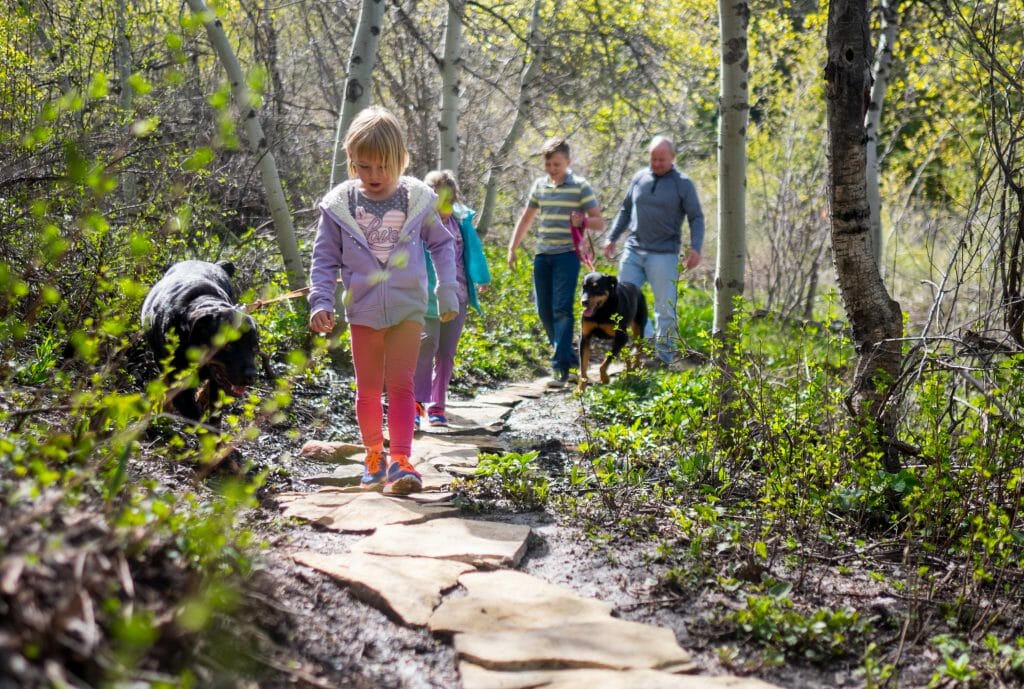
Project Concept: The Sheridan Community Land Trust hopes to continue the development of seamless non-motorized recreation opportunities from the State lands at the base of the mountains off of Red Grade Road to the Bighorn National Forest. Previous approvals have occurred on the State and BLM lands. This action proposes continued development on NFS lands for a large system of trails operated and maintained by Sheridan Community Land Trust via a MOU with Sheridan County and a recreation land use permit.
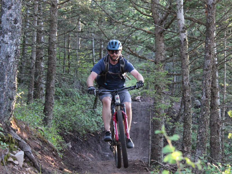
The proposed trail system is designed to provide a positive trail experience for the user and the resource. The intent is that the trails are designed as a whole to meet community goals and integrate into existing land use plans. To meet these goals, it’s important for a system to provide valued elements such as variety, challenge, scenery, connectivity, and mileage. When accounted for, visitors are more likely to use trails in the intended manner, which in turn minimizes impact to overlying resources, reduces trail wear and associated maintenance, minimizes conflict between user groups, and encourages good stewards of the trail system. The Red Grade trail system was designed with both shared-use (vast majority) and single-use trails in order to meet these needs. The single-use sections were designed to reduce user conflict and improve trail safety.
Project Highlights
- Proposed 17 mile non-motorized trail system for hikers, bikers, and equestrians.
- These proposed miles are part of the larger 27.6 mile Red Grade Trail system.
- Professionally and locally designed to be incorporate past public feedback and to be sustainable, safe, and minimize impacts.
- Located entirely on public lands (State, Bureau of Land Management & US Forest Service).
- Improves public access experience, making it safer and more sanitary for all recreationists.
- Acknowledges and addresses existing trespass, firearm, and management concerns on vicinity public lands.