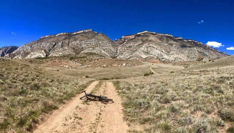
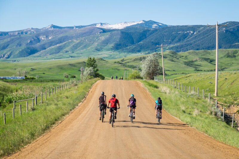
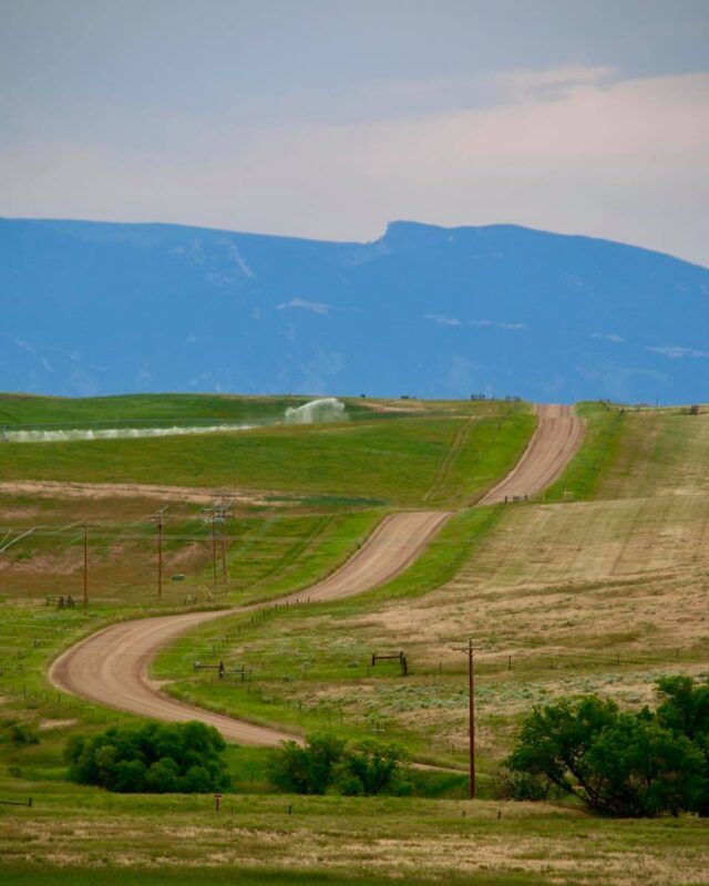
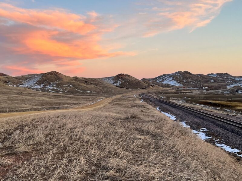
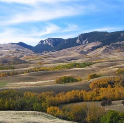
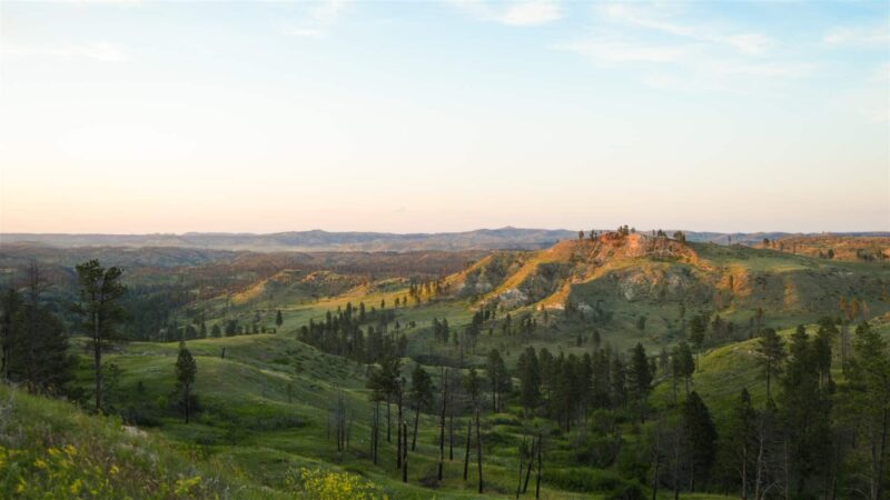
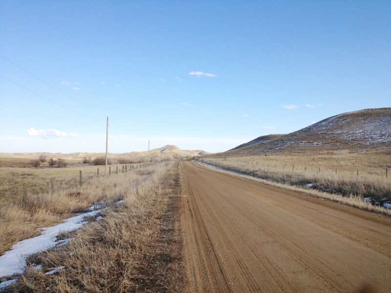
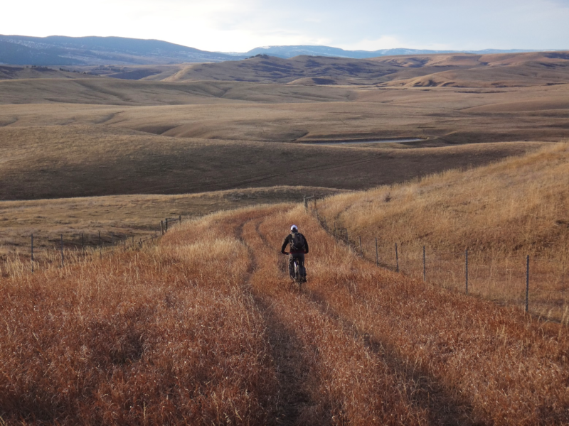
Below we’ve featured some gravel biking routes in our area. Remember to respect private land and other users of the roads and routes. Sheridan Community Land Trust preserves our open spaces, healthy rivers and creeks, working ranches, wildlife habitat, and vibrant history, while expanding recreation opportunities to connect people with the places they love.
Know of a route, route change, or see an error?
Email us here or call 307-673-4702
All routes have been rated following Industry Standard Guide to Gravel
If you’re interested in learning more about other trails in the area, click >>here.
Bad Medicine Route
Fun Fact: 56-mile route in the popular Bad Medicine Ride. Desert riding in a mountain setting. 54 Miles. 46% Gravel, 54% Paved. Difficulty: Difficult. Rideable: Dry weather only! Usually April-Nov. Amenities: Beginning/End Only. Cell Service: Spotty at best. Route Description As described by our local [...]
Big Horn Route
Fun Fact: The town of Big Horn was once larger than the town of Sheridan. Popular local grinder from the historic little town of Big Horn to Sheridan and back. 31.4 Miles. 46% Gravel, 54% Paved. Difficulty: Easy/Moderate. Rideable: Year-Round. Amenities: Several. Cell Service: Spotty further out. [...]
Dayton Cruiser
Fun Fact: 40-mile route in the popular Dead Swede Gravel Race/Ride/Tour. Town and country riding with single-track options. 42.6 Miles. 67% Gravel, 33% Paved. Difficulty: Easy/Moderate. Rideable: Year-Round. Amenities: Beginning/ Middle/End. Cell Service: Spotty. Route Description For this ride you’ll encounter rolling terrain with some [...]
Iron Riders Loop
Fun Fact: There’s hundreds of miles of great gravel east of Sheridan. Peaceful country riding at its finest with views that speak to your soul. 52.66 Miles. 86% Gravel, 14% Paved. Difficulty: Easy. Rideable: Year-Round. Amenities: None (unless Wyarno Bar & Grill is open). Cell Service: Drops off the further out [...]
Piney Island Route
Fun Fact: Where the “hated post on the Little Piney” stands. From wooded foothills to rolling prairie. 35.8 Miles. 58% Gravel, 42% Paved. Difficulty: Easy/Moderate. Rideable: Year-Round. Amenities: Town of Story/Fort Phil Kearney. Cell service: Western half of the ride. Route Description This ride begins [...]
Poker Jim Loop
Fun Fact: Where poker, Shakespeare and lookout towers have something in common. Forest islands surrounded by grasslands. Miles of lonely gravel and single-track game/cattle trails. Difficulty: Easy/Moderate. Rideable: Mid-April thru Oct. Amenities: None. Cell service: Spotty. Route Description Just across the border in our neighboring [...]
Prairie Dog to Pathway Loop
Fun Fact: The Basawaxaawúua (Crow for Our Mountains) are ~150 miles long and 30-50 miles wide. Bottom lands, plateaus, and pathways. 34.9 Miles. 77% Gravel, 23% Paved. Difficulty: Easy/Moderate. Rideable: Year-Round. Amenities: None. Cell Service: Good. Route Description This is a fun and fairly easy [...]
Twin Creeks Route
Fun Fact: Rumored to be the loneliest ride in Sheridan County. Where the grasslands meet the mountains. 31.3 Miles. 69% Gravel/Unimproved Two-track, 31% Paved. Difficulty: Moderate. Rideable: Dry or frozen weather only! Amenities: Establishments in Parkman & Dayton. Cell Service: Spotty at best. Route Description [...]
Wilderness Overlook Loop
Fun Fact: The Bighorns were once known as the Shining Mountains. Mountain riding with several detours to make this a day-long trip. 15.2 Miles. 100% gravel, all on top of the mountain. Difficulty: Moderate. Rideable: Late May to Sept./Oct. Amenities: None. Cell Service: Very little, if any. [...]

