We’re honored that Red Grade Trails was voted Best Hiking/Biking Trail in The Sheridan Press’s 2026 Best of the Bighorns awards!
And Red Grade Trails wasn’t the only SCLT destination to earn recognition! Big Goose Natural Area took second place, while Soldier Ridge Trail tied for third with Solitude Trail in the same category. To top it off, SCLT placed third for Best Nonprofit! It certainly looks like our supporters turned out to vote, and we couldn’t be more grateful!
What began as a vision to connect Sheridan County residents with more outdoor recreation opportunities in the Bighorn Mountains has grown into a trail system enjoyed by hikers, mountain bikers, runners and outdoor enthusiasts of all ages.
We’re grateful to everyone who voted and to the donors, volunteers, partners and community members who have helped bring Red Grade Trails to life and continue to support its growth and care.
As part of the Best of the Bighorns 2026 publication, The Sheridan Press featured the story behind the trails and the years of work that made them possible.
We’re pleased to share “A Decade in the Making, Red Grade Trail System Opens the Bighorns to Sheridan,” written by Georgia Lodewyk and originally published October 30, 2026. The article is reprinted below.
A decade in the making, Red Grade Trail System opens the Bighorns to Sheridan
SHERIDAN — When Colin Betzler and his family moved to Sheridan more than 20 years ago, he noticed gorgeous views of the Bighorn Mountains and roads that ended abruptly at “private property” signs.
Betzler served as the Sheridan Community Land Trust’s executive director from 2009 to 2017, and in that time, the nonprofit held listening sessions that identified this as a community need. People wanted easy-access trails to go for a quick hike, bike or horseback ride without driving a long distance or navigating private-property boundaries. At these sessions, committees analyzed locations less than 30 minutes from Sheridan, including parcels of land along Wyoming Highway 335/Red Grade Road.
These conversations eventually led to the creation of the Red Grade Trails System.
“I hope it’s a place where people find different ways to enjoy the community,” said SCLT’s current executive director Brad Bauer, who took over the project from Betzler in 2017 and saw it through several fundraising campaigns and construction stages.
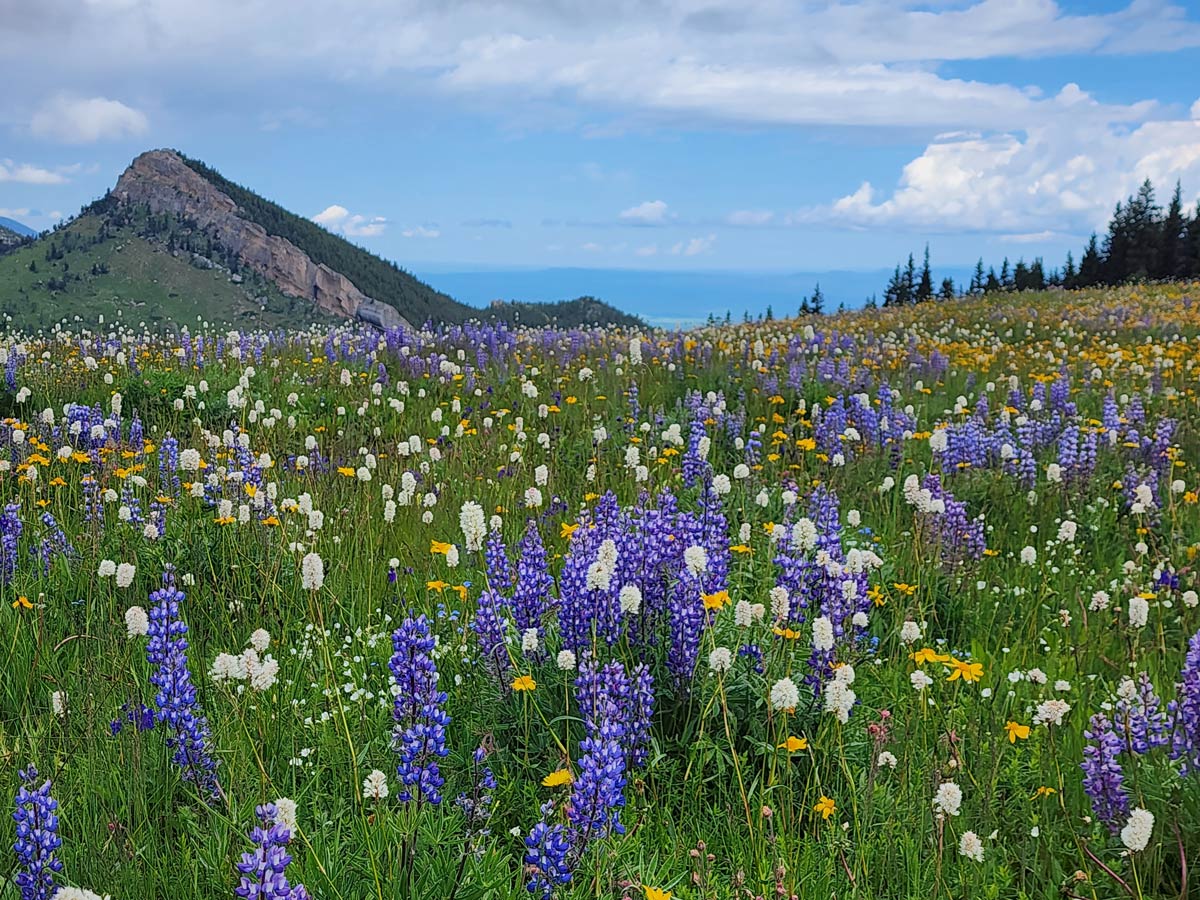
Since then, the SCLT project has grown to 20 miles of public-access trail across land owned by three public entities. Its completion cost more than $1 million and hundreds of volunteer hours. This year, a community vote named the Red Grade Trails System “Best hiking/biking trail” in Sheridan County.
Partnerships
Bauer said the Red Grade Trails are possible through agreements with three public entities — the state, the Bureau of Land Management and the Bighorn National Forest Service. The SCLT pays $1,667.12 annually for a special use lease to the state, and the state holds right of way with its federal partners.
“These trails wouldn’t be possible without public partners…without their support,” Bauer said. “(And the support of) lots of volunteers and individuals who have made gifts of time and money contributions to see this work through.”
From 2015 to 2025, the Red Grade Trails construction saw plenty of ups and downs, according to Bauer and Betzler. When things first got off the ground, the SCLT contacted prominent trail designers who were blown away by the area’s variety of terrain, expansive views, towering pines and trail-building geology. Construction on this first phase began in 2015.
“We took the results back to the committee and agreed that Red Grade was by and far the lowest-hanging fruit for getting people in Sheridan County out into an amazing landscape with easy existing public access,” Betzler said. “Not to mention how wild it truly feels just a short distance off the road.”
A second construction phase added three more miles of trailway in 2017, also the year Bauer stepped into the executive director role. Then, in 2020, the SCLT ventured further into the mountain with multi-use trails on BNF land. In 2022, the nonprofit connected these two sections on land in between belonging to the BLM.
This last project was supposed to take three months. Bauer said it ended up taking three years.
“The first year we did some construction, and quickly realized we needed to do some rerouting because we were finding water in places we hadn’t planned for,” Bauer said.
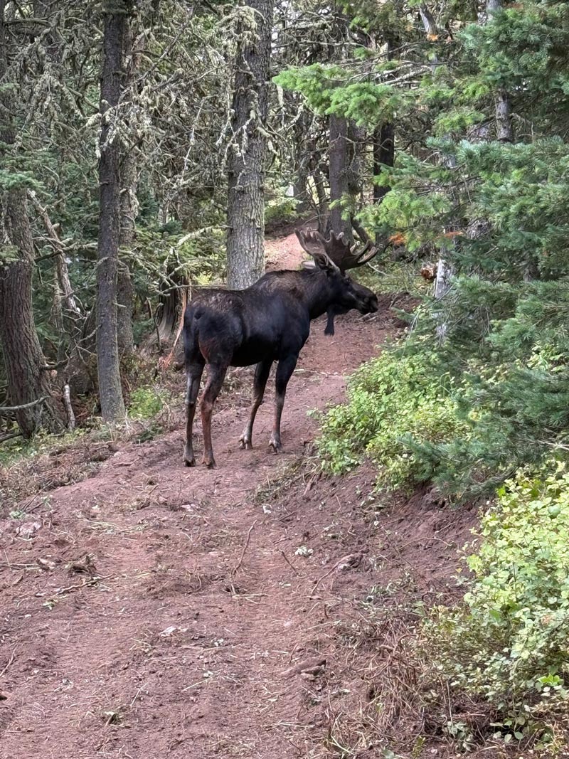
After redesigning the layout, Bauer said crews dealt with another setback: The Elk Fire, which burned 98,352 acres of the Bighorn Mountains from Sept. 27 to Nov. 14, 2024. As a result, the SCLT moved equipment off the mountain and created dozer lines through 11 switchbacks along the Red Grade Trails.
“Thankfully, the fire never got that far,” Bauer said. “That was a pretty stressful time for everybody.”
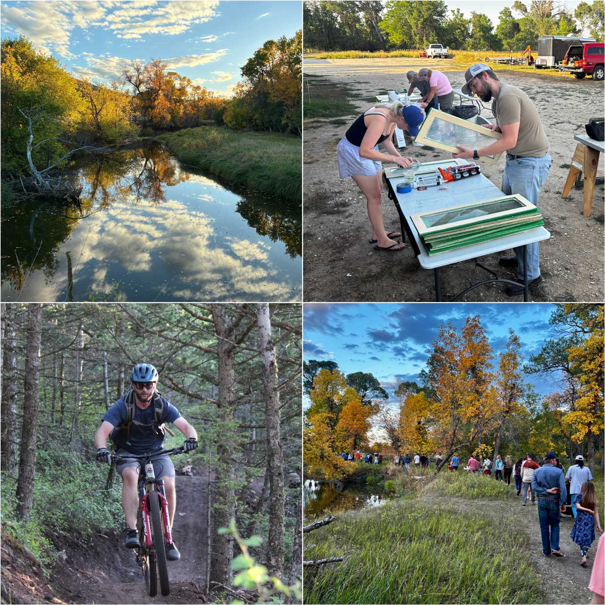
Construction on this final section was completed a year later in 2025, while burn scars still remained in the fire’s aftermath. Now, Bauer said much of the work includes maintenance — from branch trimming and weed pulling to building drainage drains, rock armour and new signage. This summer, the completed work was made possible through seven summer staffers and dozens of community members who attended SCLT’s volunteer days.
Bauer said there’s also maintenance happening he doesn’t even know about.
“We might hear that a tree fell down, and by the time we get a team that can go up there and take care of the tree, somebody’s done it already. Trail users are taking care of it,” Bauer said. “It speaks to the community buy-in. Not only do people use it and enjoy it, but there’s definitely a subset of trail users that will then also take the time to make sure it’s good for the next person.”
Community use
From its early stages, Betzler said the goal of Red Grade Trails was to create a community space — something for the “moms with mini-vans full of kids” to specialized runners and bikers.
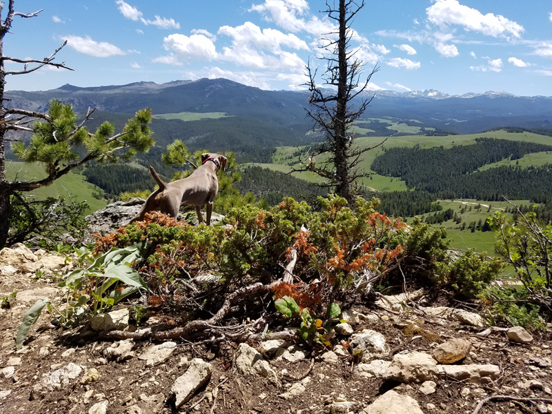
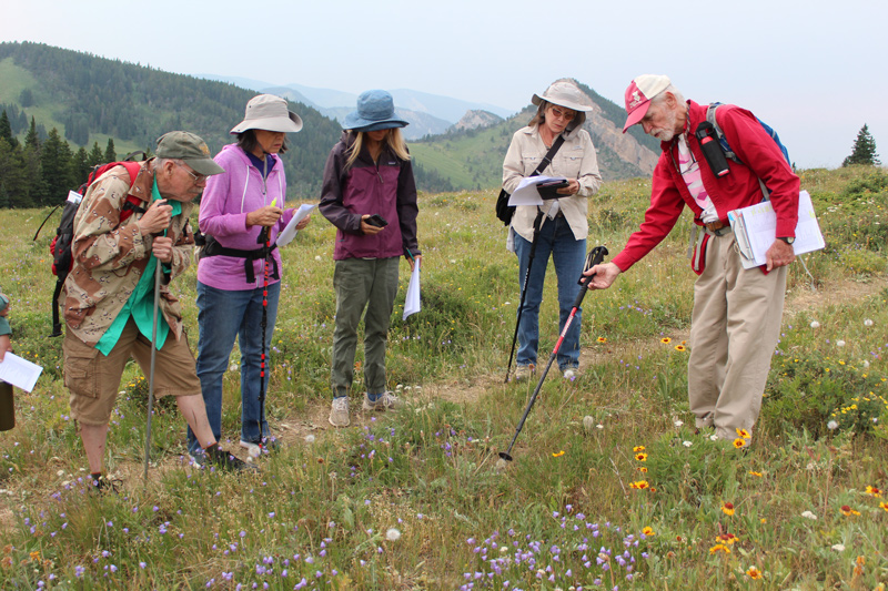
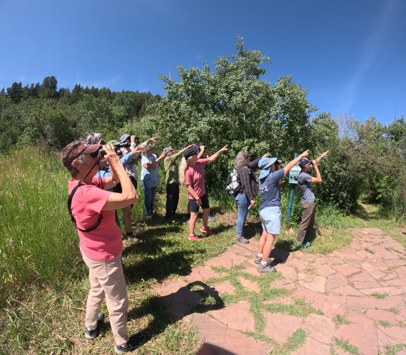
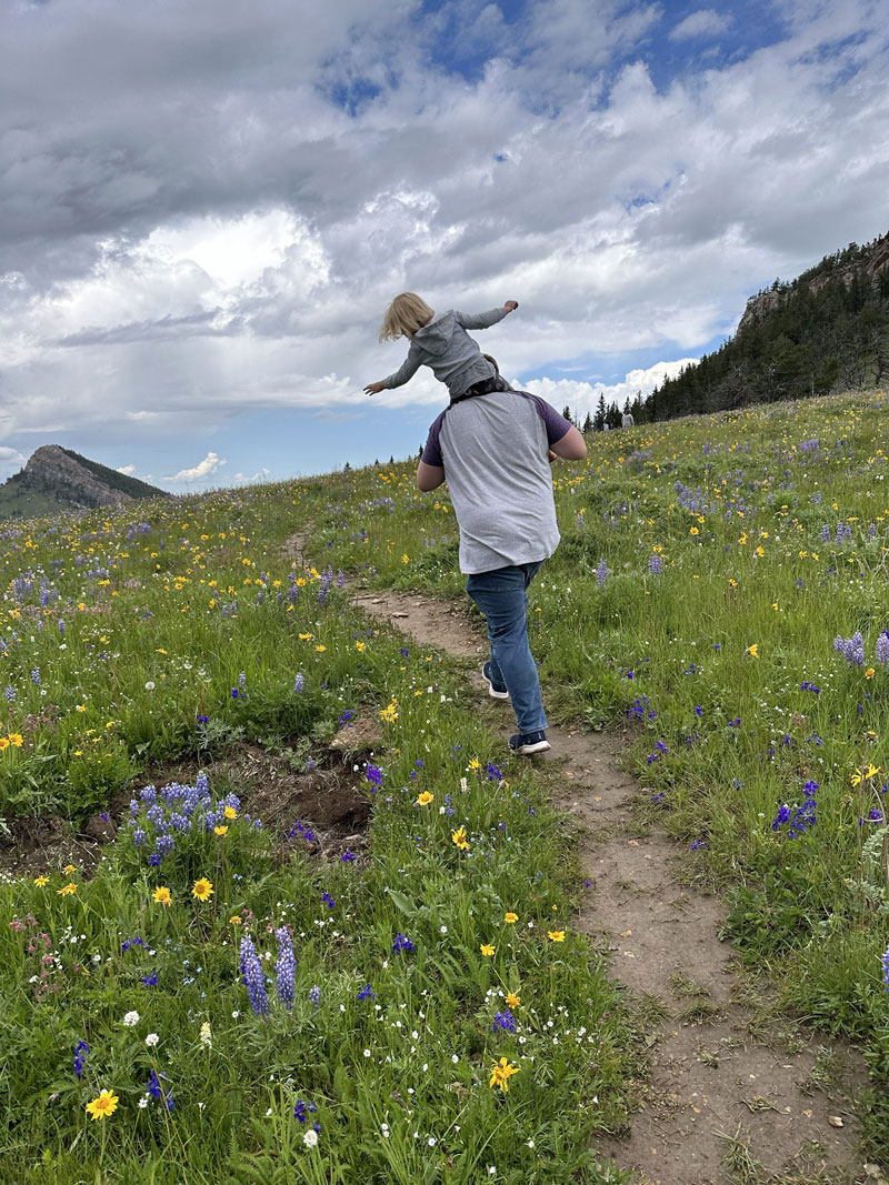
Today, Bauer said Red Grade Trails fulfill that diverse mission. The system has trails for hikers, bikers, runners and equestrians. Some give recreators views of rolling hills and high country. Other trails provide glimpses into the vast Cloud Peak Wilderness. SCLT’s history talks and discovery sessions that take place periodically throughout the year also help recreators engage with ecology, wildlife, conservation and regional history.
But this public access wasn’t exactly so easy to come by.
Betzler said the early days of the Red Grade Trails project had its critics who didn’t want public recreation pathways near their properties.
“All trails were proposed on a mix of state, BLM and USFS lands. We even made changes to trail locations to further buffer these neighbors from seeing or hearing people that might be out on the trails,” Betzler said. “While it didn’t seem to change their position, we certainly heard their concerns and made changes to address the ones that seemed legitimate.”
Today, easier access to the trails has also brought more attention to the road that serves them. All trailheads for the Red Grade Trail System are located on Red Grade Road, yet the gravel roadway is known for its steep grade and narrow width. In some parts, the road can be as narrow as 13 feet, with exposed bedrock, washboarding, failing roadside ditches and limited sight distance.
In 2024, Central Federal Lands reported Red Grade Road saw an average of 710 vehicles per day.
Bauer said Red Grade Trail users do contribute to this traffic, so SCLT maps and informational signs warn users of Red Grade Road’s steep grade.
“If you’re not comfortable driving mountain (roads) there is an absolute great experience at this very base bottom parking lot,” Bauer said. “In theory, you can go and do all of the trails from that parking lot if you want to.”
Red Grade Road is currently undergoing a multi-phase construction project to fortify the roadway, adding aggregate, retaining walls, buttresses and pullouts, and widening the road to 22 feet where possible. The first stretch from mile marker 0.95 to 3.48 is set to take over a year to complete, according to past reporting from The Press. It began July 2026, and included partial closures of the roadway from 8 a.m. to 6 p.m. Monday through Friday.
Future
The Red Grade Trail System may span 20 miles, but Bauer said the organization is not done quite yet. More construction could be on the horizon.
Other possible segments include land west of the Bear Gulch East section of Red Grade trails on BNF land. This 3.9-mile addition was approved in 2019, and would include unimpeded views of the Bighorns’ highest mountain, Cloud Peak. Bauer said the trail would be open to hikers, bikers and equestrians.
“That would be the next piece, once we have the funding for it and the time,” Bauer said.
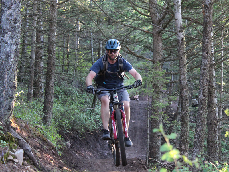
Until then, Bauer said SCLT crews will continue to maintain, update and host programming at the Red Grade Trails System.
“I’m just glad the land trust has been able to bring this to the community,” Bauer said. “For many people, our trails are the thing they know about the last trust. We hope through (events) we can engage people even more deeply.”
Betzler also sees Red Grade Trails as a “game changer” for many locals — and it brings a smile to his face whenever he sees cars, trucks or even buses parked at one of the trailheads.
“When people get away and get outside, good things happen,” Betzler said.